Browse / United States / Maryland / Columbia
Columbia
MarylandCDP

Columbia
Total population
104,338
Median home value
$497,400
Bachelor's+
Median income
$131,490
Founded
1967
Air quality index
Demographic figures from US Census Bureau · ACS 5-year estimates. Overview below cites Wikipedia and may reference a different year.
City facts
Sister cities
Facts from Wikidata (CC0).
Overview
Columbia is a planned community in Howard County, Maryland, United States, consisting of 10 self-contained villages. With a population of 104,681 at the 2020 census, it is the second-most-populous community in Maryland, after Baltimore. Columbia, located between Baltimore and Washington, D.C., is part of the Baltimore metropolitan area and is tracked by the United States Census Bureau as a census-designated place. Columbia proper consists only of territory governed by the Columbia Association, a not-for-profit management company. The United States Postal Service also uses the name for other communities that predate Columbia, including Simpsonville and Atholton; the Census Bureau also counts part of Clarksville as Columbia.
Read more on WikipediaHistory & geography
History
Before European colonization in the 1600s, the area that is now Columbia served as farming and hunting grounds for indigenous peoples including the Piscataway and Susquehannock peoples. Columbia was founded in 1967 by James W. Rouse, a native of Easton, Maryland. In 1935, Rouse obtained a job in Baltimore with the Federal Housing Administration, a New Deal agency whose purpose was to promote home ownership and home construction. This position exposed Rouse to all phases of the housing industry. Later in the 1930s he co-founded a Baltimore mortgage banking business, the Moss-Rouse Company. In the 1950s his company, by then known as James W. Rouse and Company, branched out into developing shopping centers and malls. In 1957, Rouse formed Community Research and Development, Inc. (CRD) for the purpose of building, owning and operating shopping centers throughout the country. Community Research and Development, Inc., which was managed by James W. Rouse and Company, became a publicly traded company in 1961. In 1966, Community Research and Development, Inc. changed its name to The Rouse Company, after it had acquired James W. Rouse and Company in exchange for company stock. By the early 1950s Rouse was also active in organizations whose goals were to combat blight and promote urban renewal. Along the way, he came to recognize the importance of comprehensive planning and action to address housing issues. A talented public speaker, Rouse's speeches on housing matters attracted media attention. By the mid-1950s he was espousing his belief that in order to be successful, cities had to be places where people succeeded. In a 1959 speech he declared that the purpose of cities is for people, and that the objective of city planning should be to make a city into neighborhoods where…
Geography
Columbia is located in central Maryland, southwest of Baltimore, northeast of Washington, D.C., and northwest of Annapolis. The community lies in the Piedmont region of Maryland, with its eastern edge at the fall line. The climate tends to hot, humid summers and cool to cold and wet winters. There are occasional large amounts of snowfall that happen every year. The primary landforms in Columbia are rolling hills and stream valleys; Columbia's road network is laid out to follow the terrain, with many winding streets and cul-de-sacs. Elevations range from about above sea level. Most of Columbia is drained by the Middle Patuxent and Little Patuxent rivers. There are three artificial lakes, created by damming tributary streams during community construction. In 1965, the Rouse Company leased of farmland staged for development, and earmarked of oak forest for timber harvesting. The company developed a sapling planter to replant sections of cleared land that would use Columbia's W.R. Grace-developed fertilizers. An outer ring of greenspace was abandoned early in the project because the combination with the already required river buffers would have reduced land available for building. | date = March 2012 }}
Excerpted from the corresponding Wikipedia article (CC BY-SA).
Demographics & economy
Race & ethnicity
Source: US Census Bureau — American Community Survey, 5-year estimates.
Geography
Coordinates & boundaries from the US Census TIGER/Line shapefiles.
Climate
Current forecast
Forecast for Columbia, MD from NOAA NWS API.
Air quality
Current readings from Open-Meteo Air Quality API (Copernicus CAMS European reanalysis).
Industrial & pollution facilities
Natural hazard risk
Health (adults)
Age-adjusted prevalence estimates from CDC PLACES (latest release).
Walkability
Amenities nearby
Wildlife & biodiversity
Most-observed species
- Northern CardinalCardinalis cardinalis (Linnaeus, 1758) · Aves87,752
- Carolina WrenThryothorus ludovicianus (Latham, 1790) · Aves71,407
- Blue JayCyanocitta cristata (Linnaeus, 1758) · Aves65,111
- American CrowCorvus brachyrhynchos C.L.Brehm, 1822 · Aves62,985
- American RobinTurdus migratorius Linnaeus, 1766 · Aves62,330
- Mourning DoveZenaida macroura (Linnaeus, 1758) · Aves59,713
- Tufted TitmouseBaeolophus bicolor (Linnaeus, 1766) · Aves58,626
- Red-bellied WoodpeckerMelanerpes carolinus (Linnaeus, 1758) · Aves57,637
Citizen-science & research observations from the Global Biodiversity Information Facility (GBIF).
Schools
Largest nearby schools
- Reservoir HighHigh · Fulton · 1,837 students · 15.2:1 ratio
- Howard HighHigh · Ellicott City · 1,741 students · 15.7:1 ratio
- Marriotts Ridge HighHigh · Marriottsville · 1,716 students · 17:1 ratio
- Long Reach HighHigh · Columbia · 1,714 students · 13.7:1 ratio
- Mount Hebron HighHigh · Ellicott City · 1,621 students · 15.3:1 ratio
- Atholton HighHigh · Columbia · 1,467 students · 15.6:1 ratio
- River Hill HighHigh · Clarksville · 1,424 students · 17:1 ratio
- Oakland Mills HighHigh · Columbia · 1,401 students · 13.7:1 ratio
Public K–12 schools within ~10 mi from Urban Institute Education Data Portal (NCES Common Core of Data, 2022).
Earthquake history
Most recent
- M 2.5 — 2025-10-274 km E of Riverside, Maryland
- M 2.6 — 2021-06-252 km SE of Woodlawn, Maryland
- M 2.81 — 2019-09-155 km ESE of East Berlin, Pennsylvania
- M 3.03 — 2016-01-173 km NE of Ranson, West Virginia
- M 3.6 — 2010-07-165 km NNW of Barnesville, Maryland
- M 3.05 — 2010-06-034 km ENE of Franklintown, Pennsylvania
Events from the USGS Earthquake Catalog (global) (FDSN Event Web Service).
Photos
Sights & places nearby
Notable people from here


People born within ~10 km, from Wikidata (CC0). Click any name for their Wikipedia article.
Nearby places in Maryland
- Ellicott City5.4 mi away · pop. 75,257
- Elkridge6.3 mi away · pop. 26,283
- Burtonsville6.9 mi away · pop. 10,203
- Laurel7.3 mi away · pop. 29,798
- Ashton-Sandy Spring8.3 mi away · pop. 5,630
- Spencerville8.7 mi away · pop. 1,028
- Woodlawn9.4 mi away · pop. 40,379
- Cloverly9.9 mi away · pop. 16,646
- Brookeville10.8 mi away · pop. 161
- Calverton11 mi away · pop. 17,624
- Randallstown12.2 mi away · pop. 35,957
- Layhill12.4 mi away · pop. 5,497
Geography & sun
Elevation, sunrise/sunset and daylight from Open-Meteo. Solar climatology from NASA POWER.
Nearby airports
Public attention
Pageview totals from the Wikimedia Pageviews API.
Books about Columbia

Search results from Open Library.
Recent natural events nearby
Ground air-quality sensors
Recently spotted species
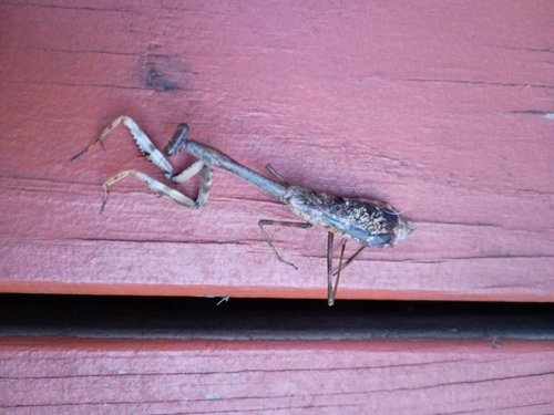
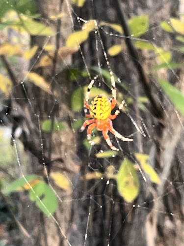
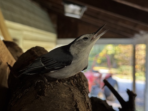
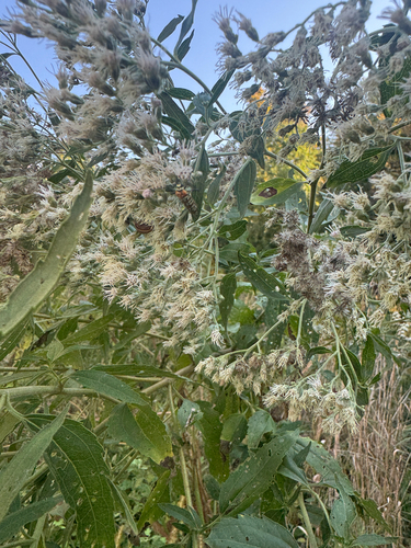

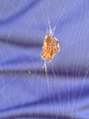
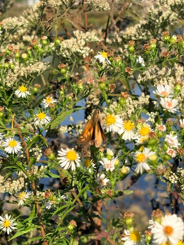
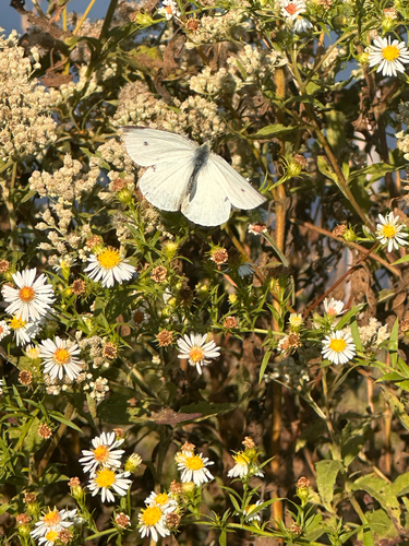
Research-grade observations from iNaturalist (within ~15 mi).
Nearest stream gauge
Live readings from USGS NWIS · measured 2026-04-29 09:35 UTC.
Events
Gallery
Geotagged photos within ~6 miles of Columbia, from Wikimedia Commons contributors.
_at_Exit_18_(Broken_Land_Parkway,_Columbia_Town_Center,_Oakland_Mills)_in_Columbia,_Howard_County,_Maryland.jpg) 0.1 mi
0.1 mi_from_the_overpass_for_Broken_Land_Parkway_in_Columbia,_Howard_County,_Maryland.jpg) 0.1 mi
0.1 mi_from_the_overpass_for_Broken_Land_Parkway_in_Columbia,_Howard_County,_Maryland.jpg) 0.1 mi
0.1 mi_from_the_overpass_for_the_ramp_from_northbound_U.S._Route_29_to_westbound_Broken_Land_Parkway_in_Columbia,_Howard_County,_Maryland.jpg) 0.2 mi
0.2 mi_from_the_overpass_for_the_ramp_from_northbound_U.S._Route_29_to_westbound_Broken_Land_Parkway_in_Columbia,_Howard_County,_Maryland.jpg) 0.2 mi
0.2 mi 0.2 mi
_at_Exit_18_(Broken_Land_Parkway,_Oakland_Mills,_Owen_Brown,_Columbia_Town_Center)_in_Columbia,_Howard_County,_Maryland.jpg) 0.3 mi
0.3 mi 0.4 mi
 0.4 mi
 0.4 mi
 0.4 mi
 0.4 mi
 0.4 mi
 0.4 mi
 0.4 mi
 0.4 mi
 0.5 mi
 0.5 mi
 0.5 mi
.jpg) 0.5 mi
0.5 mi 0.5 mi
 0.5 mi
 0.5 mi
 0.6 mi
Photos via Wikimedia Commons — see each image page for license & attribution.
Sources
- • Wikipedia
- • US Census Bureau (ACS 5-year estimates)
- • NOAA National Weather Service
- • Wikimedia Commons
- • Wikidata
- • Open-Meteo Air Quality (CAMS)
- • USGS Earthquake Catalog (global feed)
- • USGS NWIS (water data)
- • NCES via Urban Institute Education Data Portal
- • GBIF (Global Biodiversity Information Facility)
- • iNaturalist
- • CDC PLACES
- • Open-Meteo / sunrise-sunset.org
- • Wikipedia Pageviews API
- • Open Library