Browse / United States / Maryland / Hampton
Hampton
MarylandCDP

Hampton
Total population
5,372
Median home value
$615,300
Bachelor's+
Median income
$170,688
Demographic figures from US Census Bureau · ACS 5-year estimates. Overview below cites Wikipedia and may reference a different year.
City facts
Facts from Wikidata (CC0).
Overview
Hampton is an unincorporated community and census-designated place (CDP) in Baltimore County, Maryland, United States. The population was 5,052 at the 2010 census. Hampton is often considered a subdivision of the nearby community of Towson and is located just north of Baltimore, about twenty minutes from downtown. Hampton contains residences situated on lots up to several acres in a park-like setting. The community is anchored by its principal landmark, the Hampton National Historic Site. The Towson United Methodist Church is located in Hampton, flanked on the south by I-695 and Goucher College.
Read more on WikipediaHistory & geography
History
In ancient times, the land was frequented by Susquehannock Indians, who used what became nearby Joppa Road as a trail. The area now known as Hampton was originally part of a land grant given to a relative of Lord Baltimore in 1695. In 1958, the Towson United Methodist Church completed construction of its large Georgian-style sanctuary with a 235-foot (72 m) spire on of land in Hampton. A zoning change application was submitted to Baltimore County to increase density to 16 residential units per acre. However, the Hampton Improvement Association, representing neighborhood residents, objected, saying they "oppose zoning changes that would allow higher density residential development and require trees to be knocked down". The church now has a walking path in the forested area for meditation, open to the public during daylight hours.
Geography
Hampton is located at (39.4229, -76.5847). According to the United States Census Bureau, the CDP has a total area of , all land. The climate in this area is characterized by hot, humid summers and generally mild to cool winters. According to the Köppen Climate Classification system, Hampton has a humid subtropical climate, abbreviated "Cfa" on climate maps.
Excerpted from the corresponding Wikipedia article (CC BY-SA).
Demographics & economy
Race & ethnicity
Source: US Census Bureau — American Community Survey, 5-year estimates.
Geography
Coordinates & boundaries from the US Census TIGER/Line shapefiles.
Climate
Current forecast
Forecast for Hampton, MD from NOAA NWS API.
Air quality
Industrial & pollution facilities
Natural hazard risk
Health (adults)
Age-adjusted prevalence estimates from CDC PLACES (latest release).
Walkability
Amenities nearby
Wildlife & biodiversity
Schools
Largest nearby schools
- Parkville HighHigh · Baltimore · 2,200 students · 14.5:1 ratio
- Perry Hall HighHigh · Baltimore · 2,029 students · 16.8:1 ratio
- Kenwood HighHigh · Baltimore · 1,908 students · 16.6:1 ratio
- Dulaney HighHigh · Timonium · 1,821 students · 16.9:1 ratio
- Perry Hall MiddleMiddle · Baltimore · 1,754 students · 16.5:1 ratio
- Towson HighHigh · Towson · 1,676 students · 18.2:1 ratio
- Overlea HighHigh · Baltimore · 1,365 students · 15.9:1 ratio
- Eastern Technical High SchoolHigh · Baltimore · 1,262 students · 18.6:1 ratio
Public K–12 schools within ~10 mi from Urban Institute Education Data Portal (NCES Common Core of Data, 2022).
Earthquake history
Photos
Sights & places nearby
Notable people from here


People born within ~10 km, from Wikidata (CC0). Click any name for their Wikipedia article.
Nearby places in Maryland
Geography & sun
Elevation, sunrise/sunset and daylight from Open-Meteo. Solar climatology from NASA POWER.
Nearby airports
Public attention
Pageview totals from the Wikimedia Pageviews API.
Books about Hampton

Search results from Open Library.
Recent natural events nearby
Ground air-quality sensors
Recently spotted species
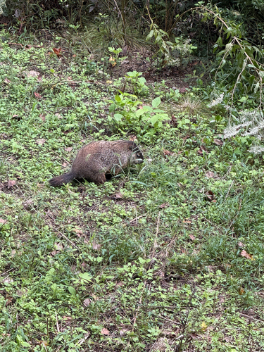
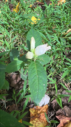
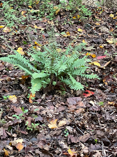
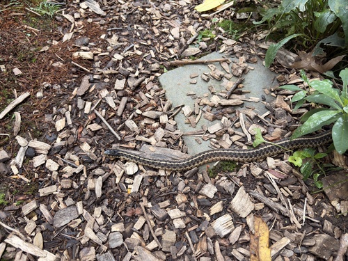
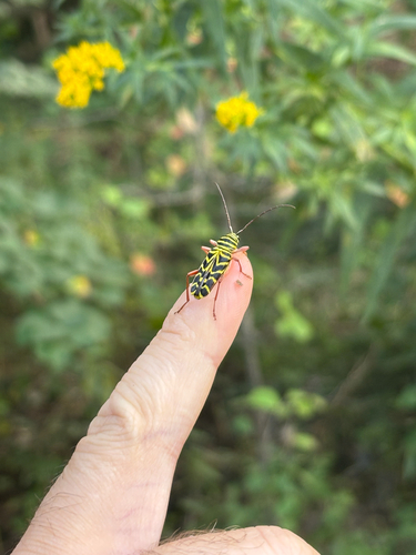
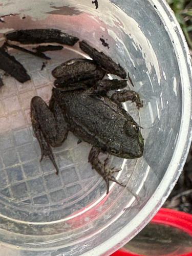
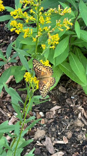
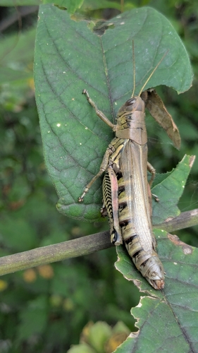
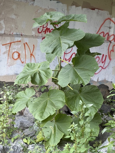
Research-grade observations from iNaturalist (within ~15 mi).
Nearest stream gauge
Events
Gallery
Sources
- • Wikipedia
- • US Census Bureau (ACS 5-year estimates)
- • NOAA National Weather Service
- • Wikidata
- • NCES via Urban Institute Education Data Portal
- • iNaturalist
- • CDC PLACES
- • Open-Meteo / sunrise-sunset.org
- • Wikipedia Pageviews API
- • Open Library