Browse / United States / Maryland / Laurel
Laurel
Marylandcity

Laurel
Total population
29,798
Median home value
$385,500
Bachelor's+
Median income
$100,504
Founded
1870
Demographic figures from US Census Bureau · ACS 5-year estimates. Overview below cites Wikipedia and may reference a different year.
City facts
Facts from Wikidata (CC0).
Overview
Laurel is a city in Prince George's County, Maryland, United States. It is located between Washington, D.C., and Baltimore on the banks of the Patuxent River. Formally, Laurel is part of the Washington Metropolitan Area, and its population was 30,060 at the 2020 census. Founded as a mill town in the early 19th century, Laurel expanded local industry, and later became an early commuter town for Washington and Baltimore workers, following the arrival of the Baltimore and Ohio Railroad in 1835. Largely residential today, the city maintains a historic district centered on its Main Street.
Read more on WikipediaHistory & geography
History
Many dinosaur fossils from the Cretaceous Era are preserved in a park in Laurel. The site, which among other finds has yielded fossilized teeth from Astrodon and Priconodon species, has been called the most prolific in the eastern United States. From the Late Glacial age in 10,700 B.C. to 8,500 B.C., Laurel's climate warmed and changed from a spruce forest to a hardwood forest. In the Late Archaic period from 4,000 to 1,000 B.C., Laurel would have been covered primarily with an oak and hickory forest. Laurel was formed from land on the fall line of the Patuxent River patented by the Snowden family in 1658 as part of the 12,250-acre New Birmingham plantation, which included the later Montpelier. The Washington Turnpike Road Company built Route 1 between 1796 and 1812, creating a major north–south land route. Milstead's Hotel halfway house was built in town to serve four stage lines a day in 1816. Nicholas Snowden built a grist mill on the site circa 1811 which grew to a small cotton mill by the 1820s. In 1828, a detailed survey was conducted to build a canal from Baltimore to Georgetown to connect to the proposed C&O canal. The route from Elkridge Landing to Bladensburg would have built a waterway roughly aligning with modern U.S. Route 1 and Kenilworth Avenue, with special consideration not to harm the water power for Savage Mill. The project did not go forward; the preference was to build a railroad, the B&O. Nicholas Snowden died in 1831, and the mill properties transferred to Louisa Snowden and her husband Horace Capon in 1834. In 1835, coinciding with the opening of the Capital Subdivision rail line from Baltimore to Washington, the Patuxent Manufacturing Company was chartered by Horace Capon, Edward Snowden, Theodore Jenkins, W.C. Shaw, A.E. Hall, and O.C.…
Geography
Laurel is located on the bank of the Patuxent River, which was the power source for the cotton mills that were the early industry of the town. According to the United States Census Bureau, the city has a total area of , of which is land and is water. As is typical of central Maryland, Laurel lies within the humid subtropical climate zone, featuring hot humid summers (up to ) and cool to mild winters (as low as ) to with high annual precipitation averaging . Laurel lies within USDA plant hardiness zones 7 and 8.
Excerpted from the corresponding Wikipedia article (CC BY-SA).
Demographics & economy
Race & ethnicity
Source: US Census Bureau — American Community Survey, 5-year estimates.
Geography
Coordinates & boundaries from the US Census TIGER/Line shapefiles.
Climate
Current forecast
Forecast for Laurel, MD from NOAA NWS API.
Air quality
Industrial & pollution facilities
Natural hazard risk
Health (adults)
Age-adjusted prevalence estimates from CDC PLACES (latest release).
Walkability
Amenities nearby
Wildlife & biodiversity
Most-observed species
- Northern CardinalCardinalis cardinalis (Linnaeus, 1758) · Aves122,190
- Carolina WrenThryothorus ludovicianus (Latham, 1790) · Aves100,679
- American RobinTurdus migratorius Linnaeus, 1766 · Aves94,738
- Blue JayCyanocitta cristata (Linnaeus, 1758) · Aves91,896
- Mourning DoveZenaida macroura (Linnaeus, 1758) · Aves85,686
- Red-bellied WoodpeckerMelanerpes carolinus (Linnaeus, 1758) · Aves80,038
- Tufted TitmouseBaeolophus bicolor (Linnaeus, 1766) · Aves80,024
- American CrowCorvus brachyrhynchos C.L.Brehm, 1822 · Aves79,252
Citizen-science & research observations from the Global Biodiversity Information Facility (GBIF).
Schools
Largest nearby schools
- High Point HighHigh · Beltsville · 3,003 students · 18.4:1 ratio
- Parkdale HighHigh · Riverdale · 2,561 students · 16.3:1 ratio
- Eleanor Roosevelt HighHigh · Greenbelt · 2,526 students · 20.7:1 ratio
- Duval HighHigh · Lanham · 2,503 students · 19.7:1 ratio
- Northwestern HighHigh · Hyattsville · 2,346 students · 16.5:1 ratio
- Laurel HighHigh · Laurel · 2,134 students · 17.8:1 ratio
- Chesapeake Math and IT Public CharterOther · Laurel · 1,684 students · 18.5:1 ratio
- Greenbelt MiddleMiddle · Greenbelt · 1,342 students · 13.7:1 ratio
Public K–12 schools within ~10 mi from Urban Institute Education Data Portal (NCES Common Core of Data, 2022).
Earthquake history
Photos
Sights & places nearby
Notable people from here


People born within ~10 km, from Wikidata (CC0). Click any name for their Wikipedia article.
Geography & sun
Elevation, sunrise/sunset and daylight from Open-Meteo. Solar climatology from NASA POWER.
Nearby airports
Public attention
Pageview totals from the Wikimedia Pageviews API.
Books about Laurel

Search results from Open Library.
Recent natural events nearby
Ground air-quality sensors
Recently spotted species
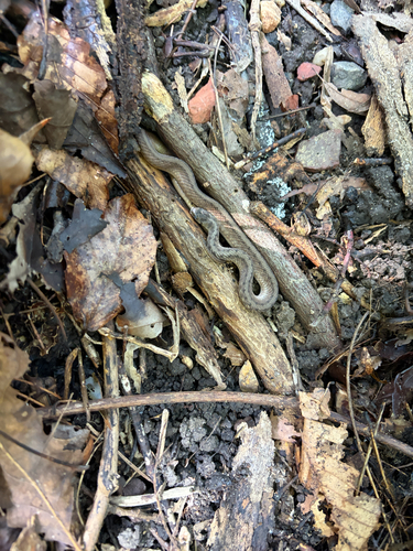
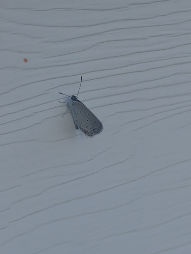
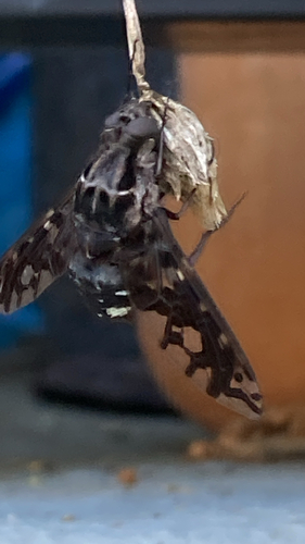
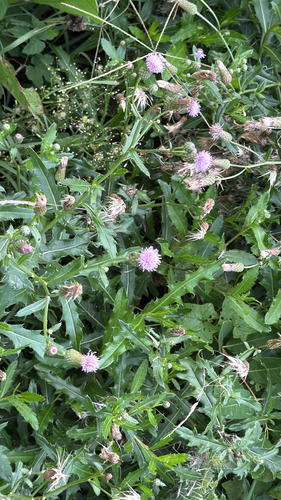
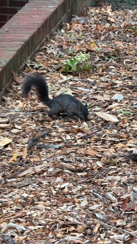
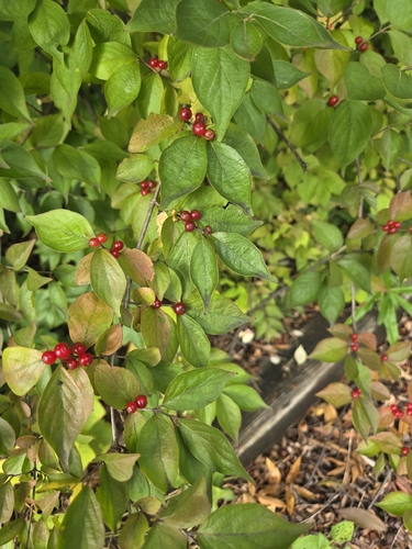
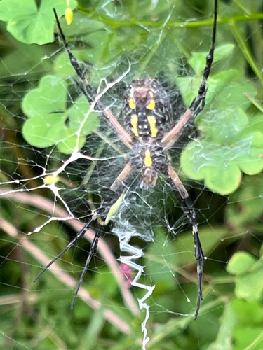
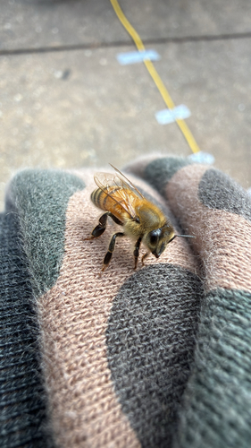
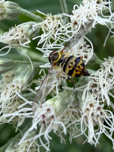
Research-grade observations from iNaturalist (within ~15 mi).
Nearest stream gauge
Live readings from USGS NWIS · measured 2026-10-16 16:15 UTC.
Events
Gallery
Sources
- • Wikipedia
- • US Census Bureau (ACS 5-year estimates)
- • NOAA National Weather Service
- • Wikidata
- • USGS NWIS (water data)
- • NCES via Urban Institute Education Data Portal
- • GBIF (Global Biodiversity Information Facility)
- • iNaturalist
- • CDC PLACES
- • Open-Meteo / sunrise-sunset.org
- • Wikipedia Pageviews API
- • Open Library