Browse / United States / Maryland / Ridgely
Ridgely
Marylandtown

Ridgely
Total population
1,772
Median home value
$276,700
Bachelor's+
Median income
$62,048
Founded
1896
Demographic figures from US Census Bureau · ACS 5-year estimates. Overview below cites Wikipedia and may reference a different year.
- Coastal Flood Advisory · MinorCoastal Flood Advisory issued September 24 at 12:57PM EDT until September 25 at 8:00AM EDT by NWS Mount Holly NJ
Source: NOAA National Weather Service.
City facts
Facts from Wikidata (CC0).
Overview
Ridgely is a town in Caroline County, Maryland, United States. As of the 2020 census, Ridgely had a population of 1,611.
Read more on WikipediaHistory & geography
History
The town was established on May 13, 1867, by the Maryland and Baltimore Land Association. A railroad boom in the 1860s on the Delmarva Peninsula was fueling land speculation. Civil engineer J.J. Sickler from Philadelphia was commissioned to design the town's layout. The Land Association began construction and built four buildings, including a railroad station, hotel, and two private residences during the first year. James K. Saulsbury constructed a combined store and residence, now known as the Ridgely House. During the Land's Association's first year, it went bankrupt; Ridgely was left unfinished and sparsely populated. Most properties were sold at public auction, and Ridgely began to grow gradually as a result of its location on the Maryland and Delaware Rail Road Company line. Ridgely's economy flourished as a result of its local crop production, including strawberries, huckleberries, vegetables, eggs, and poultry. Most crops were processed in Ridgely or sent to various locations on the railroad. As the nation began to rely on highways instead of railroads for transportation and industry began to concentrate in larger urban areas, Ridgely's economy declined. Ridgely became known as the "Strawberry Capital of the World" as a result of its prosperous agricultural business. A Ridgely Historical Society was created in 2005 for the same purpose.
Geography
According to the United States Census Bureau, the town has a total area of , all land.
Excerpted from the corresponding Wikipedia article (CC BY-SA).
Demographics & economy
Race & ethnicity
Source: US Census Bureau — American Community Survey, 5-year estimates.
Geography
Coordinates & boundaries from the US Census TIGER/Line shapefiles.
Climate
Current forecast
Forecast for Ridgely, MD from NOAA NWS API.
Air quality
Industrial & pollution facilities
Natural hazard risk
Health (adults)
Walkability
Amenities nearby
Wildlife & biodiversity
Schools
Earthquake history
Photos
Sights & places nearby
Notable people from here


People born within ~10 km, from Wikidata (CC0). Click any name for their Wikipedia article.
Nearby places in Maryland
- Queen Anne4.5 mi away
- West Denton5 mi away · pop. 48
- Cordova8.6 mi away · pop. 448
- Williston8.6 mi away · pop. 391
- Centreville11.5 mi away
- Templeville14.1 mi away
- Church Hill14.3 mi away
- Queenstown15.3 mi away
- Easton15.8 mi away · pop. 17,308
- Preston16.8 mi away · pop. 852
- Kent Narrows19.4 mi away
- Crumpton19.5 mi away
Geography & sun
Elevation, sunrise/sunset and daylight from Open-Meteo. Solar climatology from NASA POWER.
Nearby airports
Public attention
Pageview totals from the Wikimedia Pageviews API.
Books about Ridgely



Search results from Open Library.
Recent natural events nearby
Ground air-quality sensors
Recently spotted species

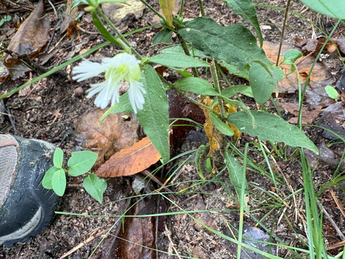


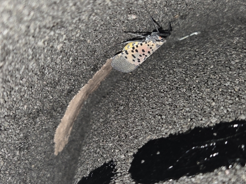

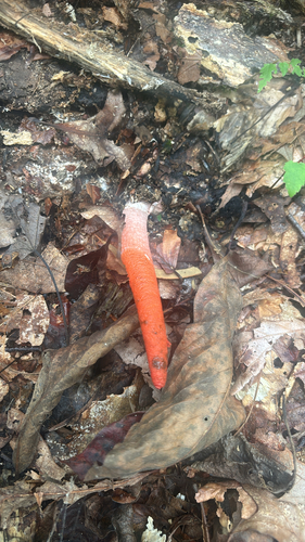
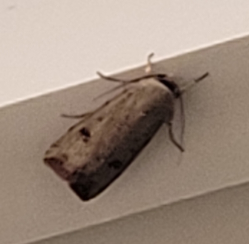
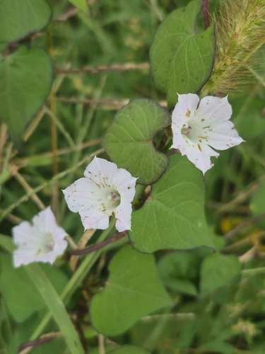
Research-grade observations from iNaturalist (within ~15 mi).
Nearest stream gauge
Events
Gallery
Sources
- • Wikipedia
- • US Census Bureau (ACS 5-year estimates)
- • NOAA National Weather Service
- • Wikidata
- • iNaturalist
- • Open-Meteo / sunrise-sunset.org
- • Wikipedia Pageviews API
- • Open Library