Browse / United States / Maryland / Rohrersville
Rohrersville
MarylandCDP

Rohrersville
Total population
141
Median home value
$0
Bachelor's+
Median income
$0
Demographic figures from US Census Bureau · ACS 5-year estimates. Overview below cites Wikipedia and may reference a different year.
City facts
Facts from Wikidata (CC0).
Overview
Rohrersville is a census-designated place (CDP) in Washington County, Maryland, United States. The population was 175 at the 2010 census.
Read more on WikipediaHistory & geography
History
The first settlers to arrive in the vicinity of Rohrersville began to survey land tracts in the 1730s. "Park Hall," a tract of 1,550 acres, encompassing the present village of Rohrersville, was patented in 1732 by William Parks, and resurveyed in 1766 to Andrew Grimm. In 1747, Frederick Rohrer, a Mennonite from Germany, arrived in Philadelphia with his two oldest sons Samuel and Martin and the rest of his family. Frederick purchased property just east of Hagerstown from his brother Jacob, who had emigrated some years earlier. Their property was where Trovinger's Mill is now located. In 1763, Frederick's son Samuel bought three large tracts of land just north of Rohrersville at the same time John Rohrer of Lampeter, PA (perhaps a cousin?) bought the adjacent property, known as Piney Hills or Pennyhill. These properties are roughly bounded by Rohrersville Road (Rt. 67), Marble Quarry Road, Millbrook Road and Elk Ridge. By the mid-1790s, most of Samuel's children had left the area, but two of his sons, John and Frederick, remained, as did Capt. John M. Rohrer, grandson of the John Rohrer who had purchased Piney Hills. Samuel's son Frederick ended up owning most of his father's original property plus Piney Hills, and he named the combined properties Pleasant Valley. Frederick in turn had several sons, two of whom, Daniel and Samuel, are credited with starting a grist mill in the early 1800s that led to the formation of the village of Rohrersville. The name Rohrersville first appears in 1836. By the 1860s, Rohrersville had grown into a bustling commercial center for the surrounding farms of Pleasant Valley. A map of 1859 shows the growing number of businesses and residences in the town. In addition to the grist mill, the town also had a thriving marble industry, and a…
Geography
According to the United States Census Bureau, the CDP has a total area of , all land.
Excerpted from the corresponding Wikipedia article (CC BY-SA).
Demographics & economy
Race & ethnicity
Source: US Census Bureau — American Community Survey, 5-year estimates.
Geography
Coordinates & boundaries from the US Census TIGER/Line shapefiles.
Climate
Current forecast
Forecast for Rohrersville, MD from NOAA NWS API.
Air quality
Industrial & pollution facilities
Natural hazard risk
Health (adults)
Age-adjusted prevalence estimates from CDC PLACES (latest release).
Walkability
Amenities nearby
Wildlife & biodiversity
Most-observed species
- Northern CardinalCardinalis cardinalis (Linnaeus, 1758) · Aves18,567
- Carolina WrenThryothorus ludovicianus (Latham, 1790) · Aves16,081
- American CrowCorvus brachyrhynchos C.L.Brehm, 1822 · Aves13,399
- Carolina ChickadeePoecile carolinensis (Audubon, 1834) · Aves12,798
- Red-bellied WoodpeckerMelanerpes carolinus (Linnaeus, 1758) · Aves12,607
- Tufted TitmouseBaeolophus bicolor (Linnaeus, 1766) · Aves12,425
- Blue JayCyanocitta cristata (Linnaeus, 1758) · Aves12,371
- Eastern BluebirdSialia sialis (Linnaeus, 1758) · Aves11,550
Citizen-science & research observations from the Global Biodiversity Information Facility (GBIF).
Schools
Largest nearby schools
- Boonsboro HighHigh · Boonsboro · 747 students · 14.4:1 ratio
- Boonsboro MiddleMiddle · Boonsboro · 610 students · 13.9:1 ratio
- Boonsboro ElementaryElementary · Boonsboro · 509 students · 17:1 ratio
- Sharpsburg ElementaryElementary · Sharpsburg · 349 students · 20.5:1 ratio
- Greenbrier ElementaryElementary · Boonsboro · 256 students · 17.1:1 ratio
- Pleasant Valley ElementaryElementary · Knoxville · 212 students · 15.1:1 ratio
Public K–12 schools within ~10 mi from Urban Institute Education Data Portal (NCES Common Core of Data, 2022).
Earthquake history
Most recent
- M 2.5 — 2025-10-274 km E of Riverside, Maryland
- M 2.6 — 2021-06-252 km SE of Woodlawn, Maryland
- M 2.81 — 2019-09-155 km ESE of East Berlin, Pennsylvania
- M 3.03 — 2016-01-173 km NE of Ranson, West Virginia
- M 3.6 — 2010-07-165 km NNW of Barnesville, Maryland
- M 3.05 — 2010-06-034 km ENE of Franklintown, Pennsylvania
Events from the USGS Earthquake Catalog (global) (FDSN Event Web Service).
Photos
Sights & places nearby
Notable people from here


People born within ~10 km, from Wikidata (CC0). Click any name for their Wikipedia article.
Nearby places in Maryland
- Trego-Rohrersville Station0.6 mi away
- Mount Briar1.3 mi away · pop. 201
- Burkittsville3.5 mi away · pop. 135
- Keedysville3.9 mi away · pop. 1,183
- Yarrowsburg4.2 mi away · pop. 83
- Dargan5.4 mi away · pop. 135
- Myersville7.2 mi away · pop. 2,358
- Tilghmanton7.7 mi away
- Jefferson8.2 mi away · pop. 3,314
- Breathedsville8.3 mi away · pop. 147
- Mount Lena8.6 mi away · pop. 391
- Mount Aetna11.7 mi away · pop. 637
Geography & sun
Elevation, sunrise/sunset and daylight from Open-Meteo. Solar climatology from NASA POWER.
Nearby airports
Public attention
Pageview totals from the Wikimedia Pageviews API.
Books about Rohrersville
Search results from Open Library.
Recent natural events nearby
Ground air-quality sensors
Recently spotted species
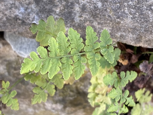
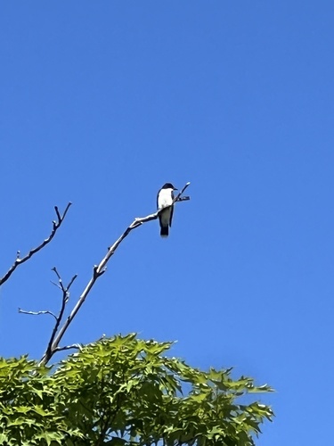
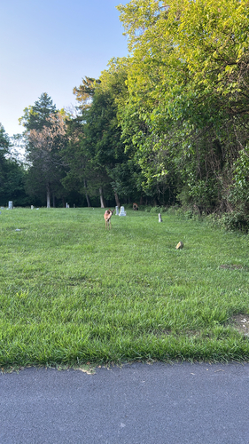
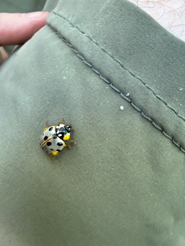
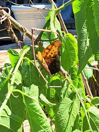
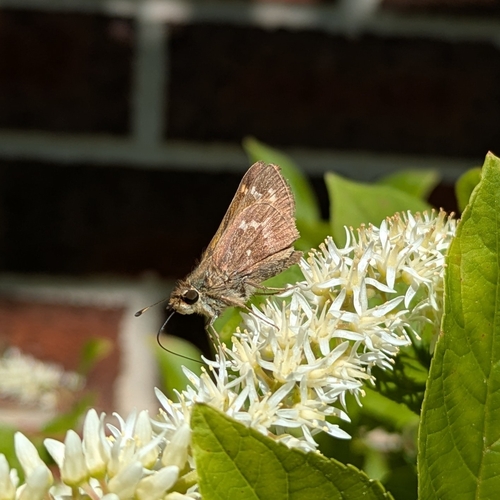
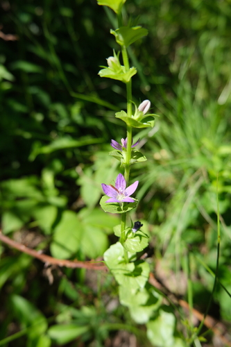
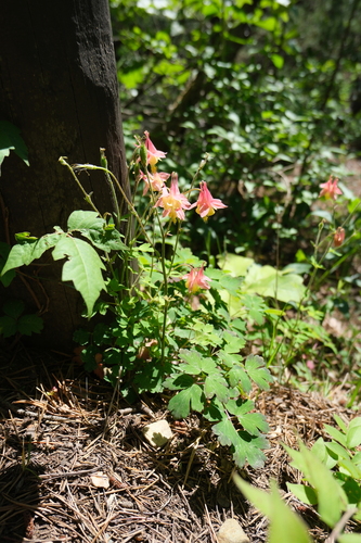
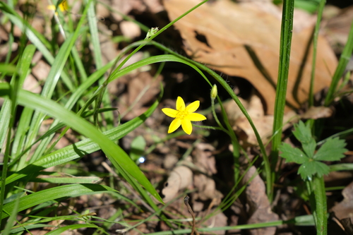
Research-grade observations from iNaturalist (within ~15 mi).
Nearest stream gauge
Live readings from USGS NWIS · measured 2026-08-11 10:45 UTC.
Events
Gallery
Geotagged photos within ~6 miles of Rohrersville, from Wikimedia Commons contributors.
 0.1 mi
_between_Hogmaw_Road_and_Rohrersville_School_Road_in_Rohrersville,_Washington_County,_Maryland.jpg) 0.1 mi
0.1 mi_between_Hogmaw_Road_and_Rohrersville_School_Road_in_Rohrersville,_Washington_County,_Maryland.jpg) 0.1 mi
0.1 mi_between_Hogmaw_Road_and_Rohrersville_School_Road_in_Rohrersville,_Washington_County,_Maryland.jpg) 0.1 mi
0.1 mi_between_Rohrersville_School_Road_and_Hogmaw_Road_in_Rohrersville,_Washington_County,_Maryland.jpg) 0.1 mi
0.1 mi_between_Hogmaw_Road_and_Rohrersville_School_Road_in_Rohrersville,_Washington_County,_Maryland.jpg) 0.1 mi
0.1 mi_between_Rohrersville_School_Road_and_Hogmaw_Road_in_Rohrersville,_Washington_County,_Maryland.jpg) 0.2 mi
0.2 mi_at_Rohrersville_School_Road_in_Rohrersville,_Washington_County,_Maryland.jpg) 0.2 mi
0.2 mi_at_Rohrersville_School_Road_in_Rohrersville,_Washington_County,_Maryland.jpg) 0.2 mi
0.2 mi 0.4 mi
 0.4 mi
 0.7 mi
 0.7 mi
 0.7 mi
 0.7 mi
 0.7 mi
 0.7 mi
 0.7 mi
 0.7 mi
 0.7 mi
 0.7 mi
 0.8 mi
 0.9 mi
 1.9 mi
Photos via Wikimedia Commons — see each image page for license & attribution.
Sources
- • Wikipedia
- • US Census Bureau (ACS 5-year estimates)
- • NOAA National Weather Service
- • Wikimedia Commons
- • Wikidata
- • USGS Earthquake Catalog (global feed)
- • USGS NWIS (water data)
- • NCES via Urban Institute Education Data Portal
- • GBIF (Global Biodiversity Information Facility)
- • iNaturalist
- • CDC PLACES
- • Open-Meteo / sunrise-sunset.org
- • Wikipedia Pageviews API
- • Open Library
- • Wikidata SPARQL (CC0) — population, area, elevation, inception, head of government, Commons image