Browse / United States / Maryland / Silver Spring
Silver Spring
MarylandCDP

Silver Spring
Total population
81,462
Median home value
$643,300
Bachelor's+
Median income
$99,860
Founded
1887
Demographic figures from US Census Bureau · ACS 5-year estimates. Overview below cites Wikipedia and may reference a different year.
City facts
Facts from Wikidata (CC0).
Overview
Silver Spring is a census-designated place (CDP) in southeastern Montgomery County, Maryland, United States, near Washington, D.C. Although officially unincorporated, it is an edge city with a population of 81,015 at the 2020 census, making it the fifth-most-populous place in Maryland after Baltimore, Columbia, Germantown, and Waldorf.
Read more on WikipediaHistory & geography
History
Before European settlement, present-day Silver Spring had been inhabited by various Indigenous peoples for about 10,000 years. Among them were the Piscataway, an Algonquian-speaking people who may have established a few villages along Sligo Creek and Rock Creek. In 1840, Francis Preston Blair, who later helped organize the modern Republican Party, along with his daughter, Elizabeth, discovered a spring flowing with chips of mica believed to be the now-dry spring visible at Acorn Park. Two years later, Blair completed a 20-room mansion he dubbed "Silver Spring" on a country homestead. In 1854, Blair moved to the mansion permanently. By 1854, Blair's son, Montgomery Blair, who became Postmaster General under Abraham Lincoln and represented Dred Scott before the U.S. Supreme Court, built the Falkland house in the area. By the end of the decade, Elizabeth Blair married Samuel Phillips Lee, third cousin of future Confederate leader Robert E. Lee, and gave birth to a boy, Francis Preston Blair Lee, who went on to become the first popularly elected Senator in U.S. history. During the American Civil War, Abraham Lincoln visited the Silver Spring mansion several times, where he relaxed by playing town ball with Francis P. Blair's grandchildren. In 1864, Confederate States Army General Jubal Early occupied Silver Spring before the Battle of Fort Stevens. After the engagement, fleeing Confederate soldiers razed Montgomery Blair's Falkland residence. At the time, there was a community called Sligo located at the intersection of the Washington-Brookeville Turnpike and the Washington-Colesville-Ashton Turnpike, now named Georgia Avenue and Colesville Road. By the end of the 19th century, the region began to develop into a town of size and importance. The Baltimore and Ohio…
Geography
As an unincorporated census-designated place, Silver Spring's boundaries are not consistently defined. As of the 2010 census, the U.S. Census Bureau gives Silver Spring a total area of , which is all land; however, the CDP contains some creeks and small ponds. This definition is a 15% reduction from the used in previous years. Silver Spring contains the following neighborhoods: Downtown Silver Spring, East Silver Spring, Woodside, Woodside Park, Lyttonsville, North Hills Sligo Park, Long Branch, Indian Spring, Goodacre Knolls, Franklin Knolls, Montgomery Knolls, Clifton Park Village, New Hampshire Estates, Oakview, and Woodmoor. The U.S. Geological Survey, U.S. Postal Service, Silver Spring Urban Planning District, and Greater Silver Spring Chamber of Commerce, each use their own slightly different definitions. The Postal Service in particular assigns Silver Spring mailing addresses to a large swath of eastern Montgomery County sometimes called "Greater Silver Spring", including Four Corners, Woodmoor, Wheaton, Glenmont, Forest Glen, Forest Glen Park, Aspen Hill, Hillandale, White Oak, Colesville, Colesville Park, Cloverly, Calverton, Briggs Chaney, Greencastle, Northwood Park, Ashton, Sandy Spring, Sunset Terrace, Fairland, Lyttonsville, Kemp Mill, a portion of Langley Park, and a portion of Adelphi. The area that has a Silver Spring mailing address is larger in area than any city in Maryland except Baltimore. Landmarks in the downtown area include the AFI Silver Theatre, the former headquarters of Discovery, Inc., a branch of The Fillmore, and the headquarters of the National Oceanic and Atmospheric Administration. Greater Silver Spring includes the National Museum of Health and Medicine, the headquarters of the Seventh-day Adventist Church, the Food and Drug…
Excerpted from the corresponding Wikipedia article (CC BY-SA).
Demographics & economy
Race & ethnicity
Source: US Census Bureau — American Community Survey, 5-year estimates.
Geography
Coordinates & boundaries from the US Census TIGER/Line shapefiles.
Climate
Air quality
Industrial & pollution facilities
Natural hazard risk
Health (adults)
Age-adjusted prevalence estimates from CDC PLACES (latest release).
Walkability
Amenities nearby
Wildlife & biodiversity
Schools
Largest nearby schools
- Montgomery Blair HighHigh · Silver Spring · 3,204 students · 16.7:1 ratio
- Walter Johnson HighHigh · Bethesda · 2,942 students · 18.6:1 ratio
- Wheaton HighHigh · Silver Spring · 2,599 students · 16.6:1 ratio
- Richard Montgomery HighHigh · Rockville · 2,390 students · 17.8:1 ratio
- Bethesda-Chevy Chase HighHigh · Bethesda · 2,335 students · 18:1 ratio
- Winston Churchill HighHigh · Potomac · 2,234 students · 18.6:1 ratio
- Paint Branch HighHigh · Burtonsville · 2,135 students · 16.4:1 ratio
- Walt Whitman HighHigh · Bethesda · 2,018 students · 17.4:1 ratio
Public K–12 schools within ~10 mi from Urban Institute Education Data Portal (NCES Common Core of Data, 2022).
Earthquake history
Photos
Sights & places nearby
Notable people from here
Geography & sun
Elevation, sunrise/sunset and daylight from Open-Meteo. Solar climatology from NASA POWER.
Nearby airports
Public attention
Pageview totals from the Wikimedia Pageviews API.
Books about Silver Spring

Search results from Open Library.
Recent natural events nearby
- Little Schloss RX Prescribed Fire, Shenandoah, VirginiaWildfires · 2026-06-10 · 87 mi
- ROSE BAY CANAL Wildfire, Hyde, North CarolinaWildfires · 2026-06-03 · 246 mi
Wildfires, storms and other events from NASA EONET (last 12 months, within 250 mi).
Ground air-quality sensors
Recently spotted species
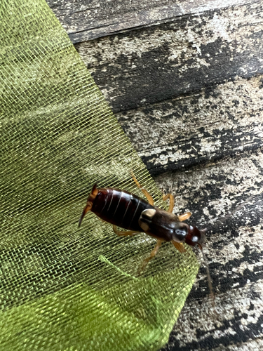
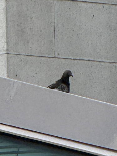
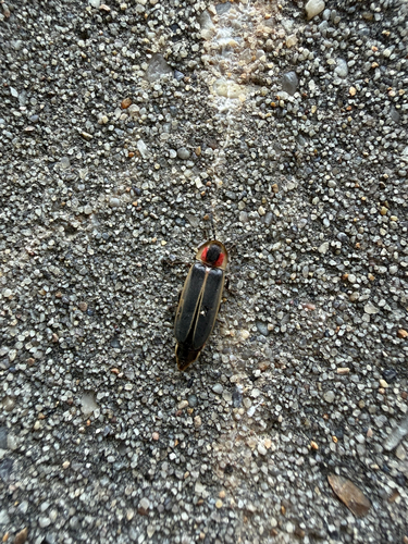

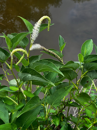
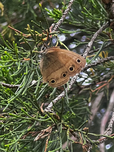
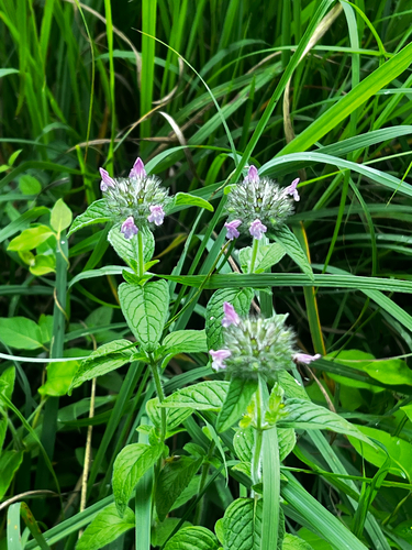
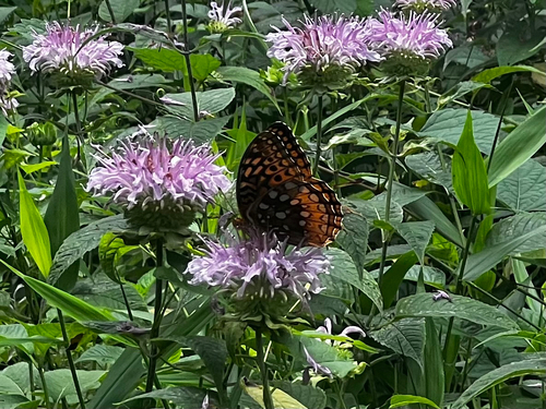
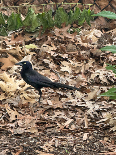
Research-grade observations from iNaturalist (within ~15 mi).
Nearest stream gauge
Events
Gallery
Sources
- • Wikipedia
- • US Census Bureau (ACS 5-year estimates)
- • Wikidata
- • NCES via Urban Institute Education Data Portal
- • iNaturalist
- • CDC PLACES
- • Open-Meteo / sunrise-sunset.org
- • Wikipedia Pageviews API
- • Open Library
- • NASA EONET