Browse / United States / Maryland / Smithsburg
Smithsburg
Marylandtown

Smithsburg
Total population
3,115
Median home value
$337,500
Bachelor's+
Median income
$100,673
Demographic figures from US Census Bureau · ACS 5-year estimates. Overview below cites Wikipedia and may reference a different year.
City facts
Overview
Smithsburg is a town in Washington County, Maryland, United States. The population was 2,977 at the 2020 census. Smithsburg is close to the former Fort Ritchie army base and just west of the presidential retreat Camp David.
Read more on WikipediaHistory & geography
History
Smithsburg, Maryland, was founded in 1812 by Christopher "Stuffle" Smith. He purchased a plot of land formerly known as "part of Shadrack's Lot." The community's development was directly influenced by factors such as migration paths, the arrival of the railroad, and advances in agricultural technology. By 1923, much of the existing village had been erected. Smithsburg was incorporated in 1846. Smithsburg acted as a hospital town during the American Civil War in 1862, treating wounded soldiers from nearby battles at South Mountain and Antietam. On July 5, 1863, Confederate General James Stuart and Union General Kilpatrick exchanged artillery fire over Smithsburg. A cannon ball from this exchange can be found lodged in the wall of a building on Water Street. Kilpatrick continued the advance to Boonsboro, Maryland after the engagement on July 6. An incident involving slaves in May 1845 proved to be violent for the people of Smithsburg. Twelve runaway slaves from Leesburg, Virginia had been seeking their way to freedom in the North when a man who considered himself to be a professional slave catcher, who had only supposed the group to be runaways, noticed the party making their way past his home at three o’clock in the morning. Beckoning the town constable and six other men to apprehend the runaways, the supposed leader exclaimed, "Now, boys, G-d d--n you, fight!" Armed with pistols and tomahawks, the Virginia runaways had the upper hand as the rural Smithsburg men only exhibited clubs and sticks for protection. A skirmish took place which badly wounded some of the Smithsburg men: "Constable Flora was twice knocked down, Price had his arm nearly severed and the bone broken, by a blow from a tomahawk he also had a pistol snapped in his face, which unfortunately failed to…
Geography
According to the United States Census Bureau, the town has a total area of , of which is land and is water. The only body of water that is within the limits of Smithsburg is the now inactive Smithsburg reservoir. Smithsburg is characterized by rolling hills and open space. The town is well known for its farming community, including apple orchards and dairy farms. Due to Smithsburg's location between the Appalachian Mountains and the Chesapeake Bay watershed, its climate is considered mild to moderate. The area has warm, humid summers and winters with temperatures hovering around freezing point.
Excerpted from the corresponding Wikipedia article (CC BY-SA).
Demographics & economy
Race & ethnicity
Source: US Census Bureau — American Community Survey, 5-year estimates.
Geography
Coordinates & boundaries from the US Census TIGER/Line shapefiles.
Climate
Current forecast
Forecast for Smithsburg, MD from NOAA NWS API.
Air quality
Industrial & pollution facilities
Natural hazard risk
Health (adults)
Age-adjusted prevalence estimates from CDC PLACES (latest release).
Walkability
Amenities nearby
Wildlife & biodiversity
Schools
Largest nearby schools
- South Hagerstown HighHigh · Hagerstown · 1,487 students · 17.1:1 ratio
- North Hagerstown HighHigh · Hagerstown · 1,438 students · 19.4:1 ratio
- Western Heights MiddleMiddle · Hagerstown · 903 students · 15.6:1 ratio
- Northern MiddleMiddle · Hagerstown · 848 students · 16.3:1 ratio
- E. Russell Hicks MiddleMiddle · Hagerstown · 824 students · 16.5:1 ratio
- Smithsburg HighHigh · Smithsburg · 717 students · 16.7:1 ratio
- Salem Avenue ElementaryElementary · Hagerstown · 687 students · 14.6:1 ratio
- Maugansville ElementaryElementary · Maugansville · 676 students · 15.7:1 ratio
Public K–12 schools within ~10 mi from Urban Institute Education Data Portal (NCES Common Core of Data, 2022).
Earthquake history
Photos
Sights & places nearby
Notable people from here
Nearby places in Maryland
Geography & sun
Elevation, sunrise/sunset and daylight from Open-Meteo. Solar climatology from NASA POWER.
Nearby airports
Public attention
Pageview totals from the Wikimedia Pageviews API.
Books about Smithsburg

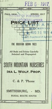
![Price list [of] mountain grown nursery stock carefully propagated from selected varieties](https://covers.openlibrary.org/b/id/7403869-M.jpg)
Search results from Open Library.
Recent natural events nearby
Ground air-quality sensors
Recently spotted species
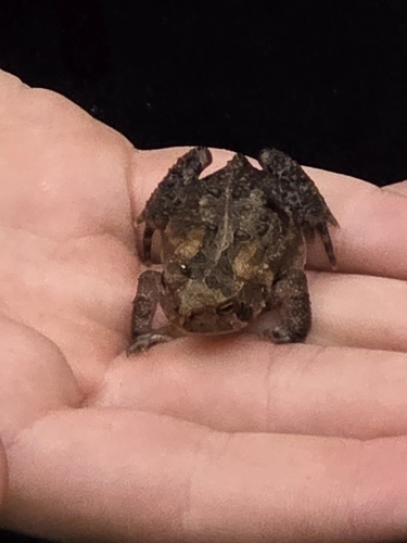

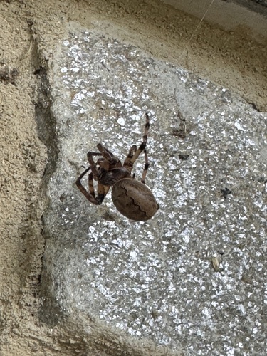
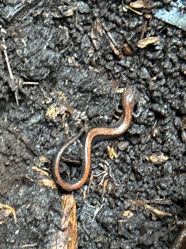
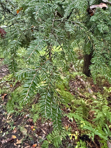
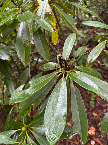
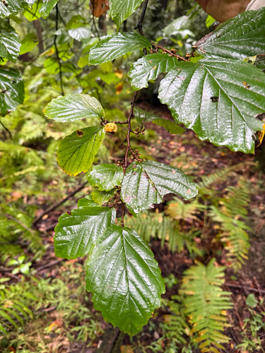
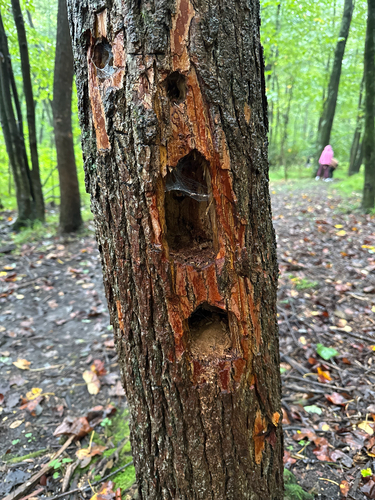
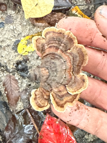
Research-grade observations from iNaturalist (within ~15 mi).
Nearest stream gauge
Events
Gallery
Sources
- • Wikipedia
- • US Census Bureau (ACS 5-year estimates)
- • NOAA National Weather Service
- • NCES via Urban Institute Education Data Portal
- • iNaturalist
- • CDC PLACES
- • Open-Meteo / sunrise-sunset.org
- • Wikipedia Pageviews API
- • Open Library