Browse / United States / Maryland / Towson
Towson
MarylandCDP

Towson
Total population
58,679
Median home value
$469,000
Bachelor's+
Median income
$101,320
Founded
1750
Demographic figures from US Census Bureau · ACS 5-year estimates. Overview below cites Wikipedia and may reference a different year.
City facts
Facts from Wikidata (CC0).
Overview
Towson is an unincorporated community and a census-designated place in Baltimore County, Maryland, United States. The population was 59,533 in the 2020 census. It is the county seat of Baltimore County and the second-most populous unincorporated county seat in the United States.
Read more on WikipediaHistory & geography
History
The first inhabitants of the future Towson and central Baltimore County region were the Susquehannock people, who hunted in the area. Their region included all of Baltimore County, though their primary settlement was farther northeast along the Susquehanna River. Towson was settled in 1752 when Pennsylvania brothers, William and Thomas Towson, began farming an area of Sater's Hill, northeast of the present-day York and Joppa roads. William's son, Ezekiel, opened the Towson Hotel to serve the growing number of farmers bringing their produce and livestock to the port of Baltimore. He built the hotel at current-day Shealy Avenue and York Road, near the area's main crossroads. The village became known as "Towsontown". The property in West Towson came from two land grants: 400-acre Gott's Hope in 1719, and Gunner's Range in 1706. In 1790, businessman Charles Ridgely completed the Hampton Mansion just north of Towsontown, the largest private house in America at the time. The Ridgelys lived there for six generations, until 1948. It is now preserved as the Hampton National Historic Site and open to the public. Grafton Marsh, a surgeon during the War of 1812, and his brother Josiah Marsh settled their families in a collection of early houses known as Gott's Hope that was part of a group along Joppa Road. They consolidated four of the structures into a larger dwelling that they called "Marshmont". The brothers went into business together as medical practitioners. Neither had any heirs but were joined in practice later by their nephew, Dr. Grafton Marsh Bosley, who eventually inherited the medical practice, the Marshmont compound, and a 140-acre farm. The farm extended west of York Road, south of Joppa Road, north of the Sheppard Pratt Hospital, and east of Woodbine Avenue. In…
Geography
Towson is located at (39.392980, −76.609562). According to the United States Census Bureau, the CDP has a total area of , of which is land and (1.06%) is water. The community is located immediately north of Baltimore City, inside the Beltway (I-695), east of I-83 and along York Road. Its census boundaries include Pikesville to the west, Lutherville and Hampton to the north, Parkville to the east, and Baltimore to the south. Major neighborhoods in Towson include: Anneslie, Idlewylde, Fellowship Forest, Greenbrier, Southland Hills, Rodgers Forge, Stoneleigh, Wiltondale, Towson Manor Village, Hunt Crest Estates, Knollwood-Donnybrook, Campus Hills, East Towson, Knettishall, Loch Raven Village and West Towson. Ruxton and Riderwood, which lie to the west, are considered a part of Towson. Eudowood is a Towson neighborhood named after Eudocia, the wife of Dr. John T. Stansbury, on whose former estate it is situated. The climate in this area is characterized by hot, humid summers and generally mild to cool winters. According to the Köppen Climate Classification system Towson has a humid subtropical climate, abbreviated "Cfa" on climate maps.
Excerpted from the corresponding Wikipedia article (CC BY-SA).
Demographics & economy
Race & ethnicity
Source: US Census Bureau — American Community Survey, 5-year estimates.
Geography
Coordinates & boundaries from the US Census TIGER/Line shapefiles.
Climate
Current forecast
Forecast for Towson, MD from NOAA NWS API.
Air quality
Industrial & pollution facilities
Natural hazard risk
Health (adults)
Age-adjusted prevalence estimates from CDC PLACES (latest release).
Walkability
Amenities nearby
Wildlife & biodiversity
Most-observed species
- Northern CardinalCardinalis cardinalis (Linnaeus, 1758) · Aves52,456
- American RobinTurdus migratorius Linnaeus, 1766 · Aves44,610
- Mourning DoveZenaida macroura (Linnaeus, 1758) · Aves41,592
- Carolina WrenThryothorus ludovicianus (Latham, 1790) · Aves39,538
- Blue JayCyanocitta cristata (Linnaeus, 1758) · Aves36,291
- American CrowCorvus brachyrhynchos C.L.Brehm, 1822 · Aves35,697
- European StarlingSturnus vulgaris Linnaeus, 1758 · Aves34,250
- House SparrowPasser domesticus (Linnaeus, 1758) · Aves33,434
Citizen-science & research observations from the Global Biodiversity Information Facility (GBIF).
Schools
Largest nearby schools
- Parkville HighHigh · Baltimore · 2,200 students · 14.5:1 ratio
- Perry Hall HighHigh · Baltimore · 2,029 students · 16.8:1 ratio
- Kenwood HighHigh · Baltimore · 1,908 students · 16.6:1 ratio
- Dulaney HighHigh · Timonium · 1,821 students · 16.9:1 ratio
- Woodlawn HighHigh · Baltimore · 1,815 students · 16.1:1 ratio
- Perry Hall MiddleMiddle · Baltimore · 1,754 students · 16.5:1 ratio
- Towson HighHigh · Towson · 1,676 students · 18.2:1 ratio
- Overlea HighHigh · Baltimore · 1,365 students · 15.9:1 ratio
Public K–12 schools within ~10 mi from Urban Institute Education Data Portal (NCES Common Core of Data, 2022).
Earthquake history
Most recent
- M 2.5 — 2025-10-274 km E of Riverside, Maryland
- M 2.6 — 2021-06-252 km SE of Woodlawn, Maryland
- M 2.81 — 2019-09-155 km ESE of East Berlin, Pennsylvania
- M 3.6 — 2010-07-165 km NNW of Barnesville, Maryland
- M 3.05 — 2010-06-034 km ENE of Franklintown, Pennsylvania
- M 2.76 — 2009-10-254 km ENE of Franklintown, Pennsylvania
Events from the USGS Earthquake Catalog (global) (FDSN Event Web Service).
Photos
Sights & places nearby
Notable people from here


People born within ~10 km, from Wikidata (CC0). Click any name for their Wikipedia article.
Nearby places in Maryland
- Lutherville2.1 mi away · pop. 6,574
- Hampton3.5 mi away · pop. 5,372
- Pikesville4.4 mi away · pop. 33,524
- Carney5.1 mi away · pop. 28,343
- Overlea5.7 mi away · pop. 13,035
- Cockeysville5.8 mi away · pop. 23,962
- Baltimore6.5 mi away · pop. 568,271
- Perry Hall7.5 mi away · pop. 29,105
- Rosedale7.5 mi away · pop. 20,002
- Owings Mills9.2 mi away · pop. 37,245
- Woodlawn9.3 mi away · pop. 40,379
- Randallstown10 mi away · pop. 35,957
Geography & sun
Elevation, sunrise/sunset and daylight from Open-Meteo. Solar climatology from NASA POWER.
Nearby airports
Public attention
Pageview totals from the Wikimedia Pageviews API.
Books about Towson


Search results from Open Library.
Recent natural events nearby
- Little Schloss RX Prescribed Fire, Shenandoah, VirginiaWildfires · 2026-06-10 · 113 mi
Wildfires, storms and other events from NASA EONET (last 12 months, within 250 mi).
Ground air-quality sensors
Recently spotted species
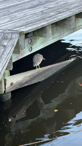
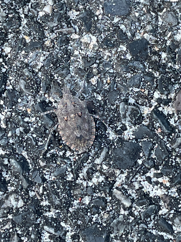
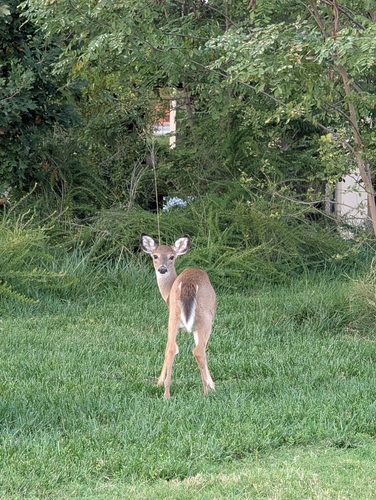
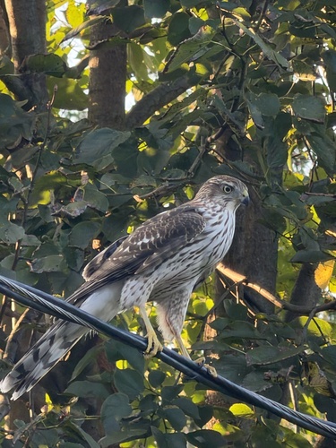
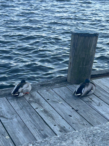
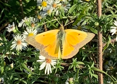
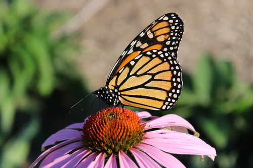
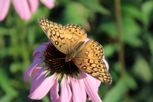
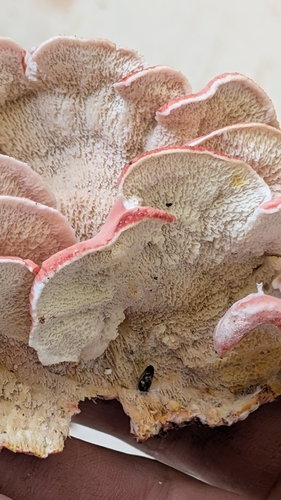
Research-grade observations from iNaturalist (within ~15 mi).
Nearest stream gauge
Live readings from USGS NWIS · measured 2026-09-17 02:05 UTC.
Events
Gallery
Geotagged photos within ~6 miles of Towson, from Wikimedia Commons contributors.
 0.1 mi
 0.2 mi
 0.4 mi
 0.4 mi
_(3612137998).jpg) 0.4 mi
0.4 mi 0.4 mi
 0.5 mi
 0.5 mi
 0.5 mi
 0.5 mi
.jpeg) 0.5 mi
0.5 mi 0.5 mi
_at_Malvern_Avenue_in_Towson,_Baltimore_County,_Maryland.jpg) 0.6 mi
0.6 mi_just_north_of_Maryland_State_Route_45_(York_Road)_at_Towson_University_in_Towson,_Baltimore_County,_Maryland.jpg) 0.6 mi
0.6 mi 0.7 mi
_at_the_south_end_of_Maryland_State_Route_45_Bypass_(Bosley_Avenue-Towson_Bypass)_in_Towson,_Baltimore_County,_Maryland.jpg) 0.7 mi
0.7 mi_at_Maryland_State_Route_45_(York_Road)_in_Towson,_Baltimore_County,_Maryland.jpg) 0.7 mi
0.7 mi_at_Maryland_State_Route_45_(York_Road)_in_Towson,_Baltimore_County,_Maryland.jpg) 0.7 mi
0.7 mi_from_the_Towson_University_pedestrian_overpass_in_Towson,_Baltimore_County,_Maryland.jpg) 0.7 mi
0.7 mi_from_the_Towson_University_pedestrian_overpass_in_Towson,_Baltimore_County,_Maryland.jpg) 0.7 mi
0.7 mi,_Towson_University,_8000_York_Road,_Towson,_MD_21252_(53148575990).jpg) 0.7 mi
0.7 mi,_Towson_University,_8000_York_Road,_Towson,_MD_21252_(53148142706).jpg) 0.7 mi
0.7 mi 0.7 mi
 0.8 mi
Photos via Wikimedia Commons — see each image page for license & attribution.
Sources
- • Wikipedia
- • US Census Bureau (ACS 5-year estimates)
- • NOAA National Weather Service
- • Wikimedia Commons
- • Wikidata
- • USGS Earthquake Catalog (global feed)
- • USGS NWIS (water data)
- • NCES via Urban Institute Education Data Portal
- • GBIF (Global Biodiversity Information Facility)
- • iNaturalist
- • CDC PLACES
- • Open-Meteo / sunrise-sunset.org
- • Wikipedia Pageviews API
- • Open Library
- • NASA EONET