Browse / United States / Maryland / Washington Grove
Washington Grove
Marylandtown

Washington Grove
Total population
577
Median home value
$612,700
Bachelor's+
Median income
$134,583
Founded
1873
Demographic figures from US Census Bureau · ACS 5-year estimates. Overview below cites Wikipedia and may reference a different year.
- Test Message · Unknown
Source: NOAA National Weather Service.
City facts
Facts from Wikidata (CC0).
Overview
Washington Grove is a town in Montgomery County, Maryland, United States. The population was 505 at the 2020 census. The Washington Grove Historic District was listed on the National Register of Historic Places in 1980.
Read more on WikipediaHistory & geography
History
The land where the residential community of Washington Grove now stands, and all of Montgomery County, was traveled and inhabited by indigenous people from around 10,000 BCE. Members of the Massawomeck, Susquehannock, Senaca (Iroquois), and Piscataway-Conoy tribes lived in the area, primarily using the land as crossover territory toward rock shelters, encampments and sizable villages near the Potomac River. Tribal boundaries were fluid. A group of Methodists began the tradition of having camp meetings in the area circa 1800. Camp meetings were a tradition where a group of Methodists would gather in a forest clearing to worship and socialize. Benches were arranged in a circle or oval with an elevated preachers' stand in the middle. The land was given to the Washington Grove Meeting Association, which had been recently incorporated on March 30, 1874. A person could build a cottage on the land by purchasing five shares of stock for twenty dollars per share. The first share had to be purchased with cash, while the other four could be financed at an annual interest rate of six percent. Named Washington Grove Camp, the first camp meeting began on August 5, 1874, with 240 tents. In 1877, a tabernacle with a belfry for a bell was built in the center of the circle. The camp-meeting managers used this power to prohibit the sale of alcoholic beverages anywhere on the grounds. While entertaining programs were allowed, card playing, theater going, and dancing were all banned. The Barrett Brothers, who operated the camp store, asked for an exception to sell ice cream and sandwiches on Sundays, but their request was denied. The cottages peaked roofs resembled that of the original tents, and the architectural style was Carpenter Gothic, which was fashionable at the time. In 1879,…
Geography
Washington Grove is located in central Montgomery County at (39.139535, -77.175926). It is bordered to the west by the town of Gaithersburg, and to the northeast and southeast by unincorporated Redland. Rockville, the Montgomery county seat, is to the south, and downtown Washington, D.C., is to the south-southeast. According to the U.S. Census Bureau, Washington Grove has a total area of , of which , or 0.59%, are water. The town sits on a ridge that drains northwest to Whetstone Run, a tributary of Great Seneca Creek, and southeast to Mill Creek, a tributary of Rock Creek. Seneca and Rock Creek are south-flowing tributaries of the Potomac River.
Excerpted from the corresponding Wikipedia article (CC BY-SA).
Demographics & economy
Race & ethnicity
Source: US Census Bureau — American Community Survey, 5-year estimates.
Geography
Coordinates & boundaries from the US Census TIGER/Line shapefiles.
Climate
Current forecast
Forecast for Washington Grove, MD from NOAA NWS API.
Air quality
Industrial & pollution facilities
Natural hazard risk
Health (adults)
Age-adjusted prevalence estimates from CDC PLACES (latest release).
Walkability
Amenities nearby
Wildlife & biodiversity
Schools
Largest nearby schools
- Walter Johnson HighHigh · Bethesda · 2,942 students · 18.6:1 ratio
- Wheaton HighHigh · Silver Spring · 2,599 students · 16.6:1 ratio
- Northwest HighHigh · Germantown · 2,484 students · 17.3:1 ratio
- Gaithersburg HighHigh · Gaithersburg · 2,436 students · 14.3:1 ratio
- Richard Montgomery HighHigh · Rockville · 2,390 students · 17.8:1 ratio
- Clarksburg HighHigh · Clarksburg · 2,251 students · 17.3:1 ratio
- Seneca Valley HighHigh · Germantown · 2,239 students · 14.5:1 ratio
- Winston Churchill HighHigh · Potomac · 2,234 students · 18.6:1 ratio
Public K–12 schools within ~10 mi from Urban Institute Education Data Portal (NCES Common Core of Data, 2022).
Earthquake history
Photos
Sights & places nearby
Notable people from here
Geography & sun
Elevation, sunrise/sunset and daylight from Open-Meteo. Solar climatology from NASA POWER.
Nearby airports
Public attention
Pageview totals from the Wikimedia Pageviews API.
Books about Washington Grove

Search results from Open Library.
Recent natural events nearby
Ground air-quality sensors
Recently spotted species



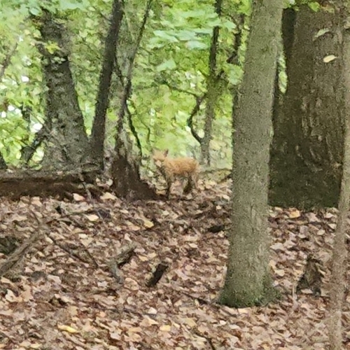


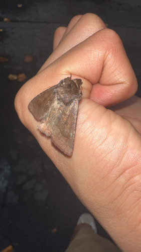
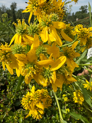
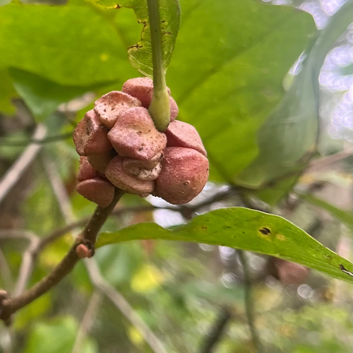
Research-grade observations from iNaturalist (within ~15 mi).
Nearest stream gauge
Events
Gallery
Sources
- • Wikipedia
- • US Census Bureau (ACS 5-year estimates)
- • NOAA National Weather Service
- • Wikidata
- • NCES via Urban Institute Education Data Portal
- • iNaturalist
- • CDC PLACES
- • Open-Meteo / sunrise-sunset.org
- • Wikipedia Pageviews API
- • Open Library