Browse / United States / Maine / Corinna
Corinna
MaineCDP

Corinna
Total population
711
Median home value
$138,000
Bachelor's+
Median income
$51,000
Air quality index
Demographic figures from US Census Bureau · ACS 5-year estimates. Overview below cites Wikipedia and may reference a different year.
City facts
Facts from Wikidata (CC0).
Overview
Corinna is a town in Penobscot County, Maine, United States. The population was 2,221 at the 2020 census. It is part of the Bangor metropolitan statistical area. The village of Corinna is in the southern part of the town.
Read more on WikipediaHistory & geography
History
It was first called T4 R4 NWP (or Township 4, Range 4, North of the Waldo Patent). On June 30, 1804, Dr. John Warren of Boston bought on speculation from Massachusetts for two cents an acre, or $460.80. To encourage settlement, he gave away some land and built a combination gristmill and sawmill. The town would be incorporated on December 11, 1816, as Corinna, named after Dr. Warren's daughter. The first homes were built of hewn logs. Corinna developed into a farming community, with water powered mills at the outlet of Corundel Lake. After the arrival of the Dexter and Newport Railroad in 1865–1866, the village developed into a small mill town. Industries would include sawmills, planing mills, woolen textile mills, and a door, sash and blind factory. There were also boot and shoemaking shops and an iron foundry. The Eastland Woolen Mill manufactured woolen materials from the 1930s until it closed in 1997, after which it was demolished. File:Soldiers' Monument, Corinna, ME.jpg|Soldiers' Monument File:I. O. O. F. Block, Corinna, ME.jpg|Odd Fellows' Hall File:Buchanan Fisher, Corrina (Corinna), Maine, from Robert N. Dennis collection of stereoscopic views.jpg|Fisher residence The Stewart Free Library (1898), a gift to the town by Corinna-born Minneapolis millionaire Levi M. Stewart, was designed by Minneapolis architect William Harrison Grimshaw. The library is listed on the National Register of Historic Places, and contains well-preserved historic interiors as well as a majestic facade with a clocktower. It resembles a mid-western county courthouse more than a typical small-town Maine library. The Corinna Union Academy educated students in the town from 1851 to 1968. A memorial dedicated to the soldiers who have died in the war on terror is located near the…
Geography
According to the United States Census Bureau, the town has a total area of , of which is land and is water. Situated beside Corundel Lake, Corinna is drained by the East Branch Sebasticook River and Alder Stream, both part of the Kennebec River watershed. The town is located at the intersection of Route 7 (Dexter Road), Route 11 (Exeter Road) and Route 43 (St. Albans Road), and is centered between the towns of Exeter, St. Albans, Dexter and Newport, about north of Interstate 95. Corinna is also located on the Newport/Dover-Foxcroft Rail Trail, which was developed along a former Maine Central Railroad line after tracks and ties were removed in 1993. This climatic region is typified by large seasonal temperature differences, with warm to hot (and often humid) summers and cold (sometimes severely cold) winters. According to the Köppen Climate Classification system, Corinna has a humid continental climate, abbreviated "Dfb" on climate maps.
Excerpted from the corresponding Wikipedia article (CC BY-SA).
Demographics & economy
Race & ethnicity
Source: US Census Bureau — American Community Survey, 5-year estimates.
Geography
Coordinates & boundaries from the US Census TIGER/Line shapefiles.
Climate
Current forecast
Forecast for Corinna, ME from NOAA NWS API.
Air quality
Current readings from Open-Meteo Air Quality API (Copernicus CAMS European reanalysis).
Industrial & pollution facilities
Natural hazard risk
Health (adults)
Age-adjusted prevalence estimates from CDC PLACES (latest release).
Walkability
Amenities nearby
Wildlife & biodiversity
Most-observed species
- American CrowCorvus brachyrhynchos C.L.Brehm, 1822 · Aves3,123
- Black-capped ChickadeePoecile atricapillus (Linnaeus, 1766) · Aves1,922
- MallardAnas platyrhynchos Linnaeus, 1758 · Aves1,836
- Blue JayCyanocitta cristata (Linnaeus, 1758) · Aves1,789
- Song SparrowMelospiza melodia (A.Wilson, 1810) · Aves1,647
- American GoldfinchSpinus tristis (Linnaeus, 1758) · Aves1,350
- American RobinTurdus migratorius Linnaeus, 1766 · Aves1,298
- Mourning DoveZenaida macroura (Linnaeus, 1758) · Aves1,218
Citizen-science & research observations from the Global Biodiversity Information Facility (GBIF).
Schools
Earthquake history
Most recent
- M 2.8 — 2024-07-286 km W of Gardiner, Maine
- M 3.3 — 2023-01-147 km ESE of Dedham, Maine
- M 2.5 — 2022-04-235 km SSW of Sebec, Maine
- M 2.6 — 2016-01-154 km SW of Beddington, Maine
- M 2.5 — 2015-05-226 km W of Jay, Maine
- M 2.61 — 2013-06-215 km W of Vassalboro, Maine
Events from the USGS Earthquake Catalog (global) (FDSN Event Web Service).
Photos
Sights & places nearby
Notable people from here


People born within ~10 km, from Wikidata (CC0). Click any name for their Wikipedia article.
Nearby places in Maine
Geography & sun
Elevation, sunrise/sunset and daylight from Open-Meteo. Solar climatology from NASA POWER.
Nearby airports
Public attention
Pageview totals from the Wikimedia Pageviews API.
Books about Corinna
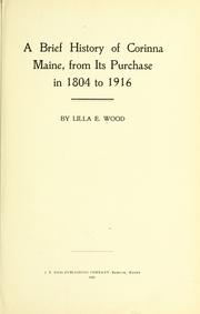


Search results from Open Library.
Recent natural events nearby
Ground air-quality sensors
Recently spotted species
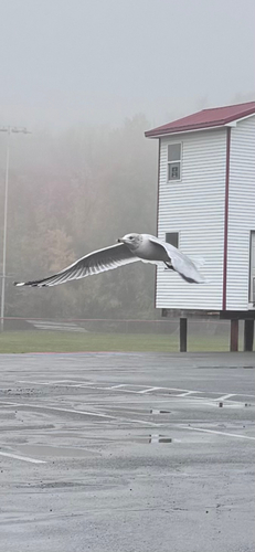
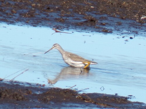
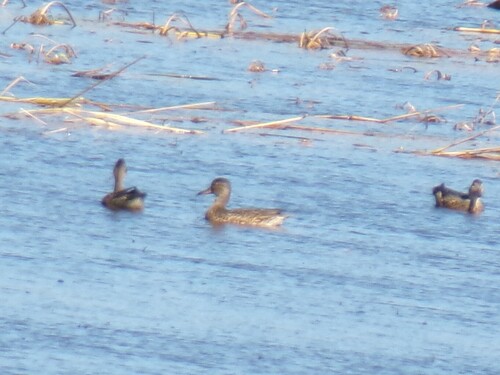
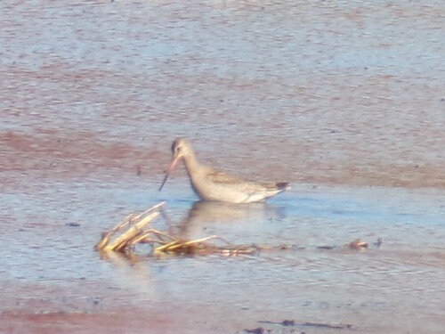
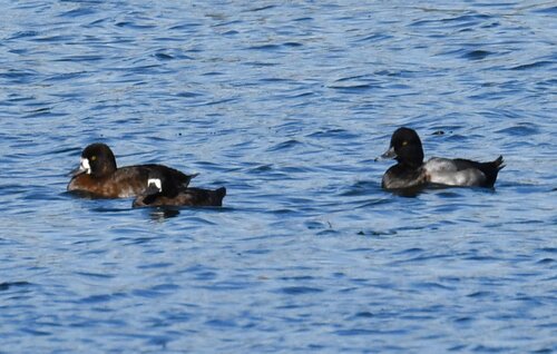
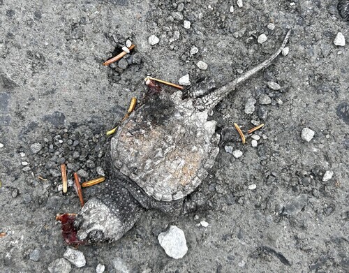
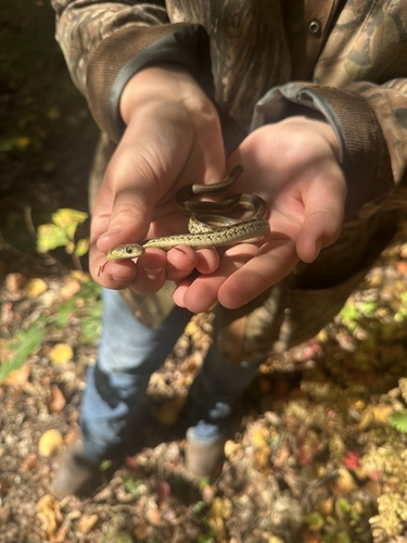
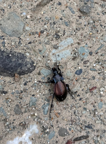
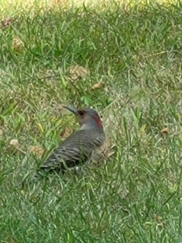
Research-grade observations from iNaturalist (within ~15 mi).
Nearest stream gauge
Live readings from USGS NWIS · measured 2026-10-16 20:30 UTC.
Events
Gallery
Sources
- • Wikipedia
- • US Census Bureau (ACS 5-year estimates)
- • NOAA National Weather Service
- • Wikidata
- • Open-Meteo Air Quality (CAMS)
- • USGS Earthquake Catalog (global feed)
- • USGS NWIS (water data)
- • GBIF (Global Biodiversity Information Facility)
- • iNaturalist
- • CDC PLACES
- • Open-Meteo / sunrise-sunset.org
- • Wikipedia Pageviews API
- • Open Library