Browse / Madagascar / Madagascar / Antanalabe
Antanalabe
Madagascarvillage
Air quality index
Demographic figures from INSTAT Madagascar. Overview below cites Wikipedia and may reference a different year.
City facts
Overview
Situated in Madagascar, Antanalabe is a village. No reliable population estimate is published for this entry in the open data we rely on. On the world map it falls within the Eastern Hemisphere, specifically at -14.879°, 48.078°. Its latitude implies a climate characterised by warm temperatures throughout the year with pronounced wet and dry seasons. Solar-resource estimates put the area at about 2,058 kWh/m² of solar irradiance per year with sunshine for roughly 81% of daylight hours. Continue scrolling for population, climate, environmental and points-of-interest data drawn from public sources.
Summary composed automatically from structured open data on this page. See our Terms for details.
History & geography
Geography
Coordinates & boundaries from the US Census TIGER/Line shapefiles.
Climate
Air quality
Current readings from Open-Meteo Air Quality API (Copernicus CAMS European reanalysis).
Walkability
Amenities nearby
Wildlife & biodiversity
Most-observed species
- Great EgretArdea alba Linnaeus, 1758 · Aves8
- Cattle EgretBubulcus ibis (Linnaeus, 1758) · Aves7
- Pied CrowCorvus albus Statius Muller, 1776 · Aves7
- Namaqua DoveOena capensis (Linnaeus, 1766) · Aves7
- Madagascar Bee-eaterMerops superciliosus Linnaeus, 1766 · Aves6
- Malagasy Palm SwiftCypsiurus gracilis (Sharpe, 1871) · Aves5
- Madagascar KestrelFalco newtoni (Gurney Sr, 1863) · Aves4
- Madagascar SwiftApus balstoni (Bartlett, 1880) · Aves4
Citizen-science & research observations from the Global Biodiversity Information Facility (GBIF).
Earthquake history
Most recent
- M 4.3 — 2020-12-3181 km SW of Ambanja, Madagascar
- M 4.7 — 2005-01-0566 km NNE of Antsohihy, Madagascar
Events from the USGS Earthquake Catalog (global) (FDSN Event Web Service).
Photos
Sights & places nearby
Notable people from here
Nearby places in Madagascar
- Andasibe Kobahina104.7 mi away
- Bemahogo116.8 mi away
- Hamouchako هاموشاكو295.4 mi away
- Mramani مرماني295.6 mi away
- Salapouani سالابواني295.7 mi away
- Dziani دزياني296.2 mi away
- Nyamboiro نيامبويرو296.3 mi away
- Kiyo كيو296.6 mi away
- Mirondroni ميروندروني296.9 mi away
- Chaouéni شاويني296.9 mi away
- Comoni كوموني297 mi away
- Nounga نونجا297.2 mi away
Geography & sun
Elevation, sunrise/sunset and daylight from Open-Meteo. Solar climatology from NASA POWER.
Nearby airports
Public attention
Books about this place
Recent natural events nearby
Ground air-quality sensors
Recently spotted species
Research-grade observations from iNaturalist (within ~15 mi).
Events
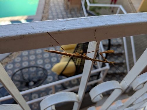
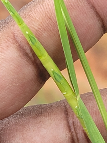
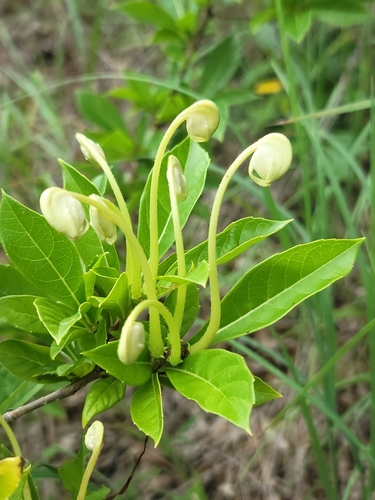
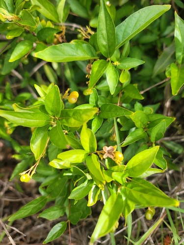
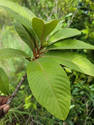
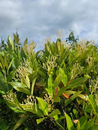
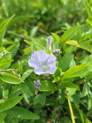
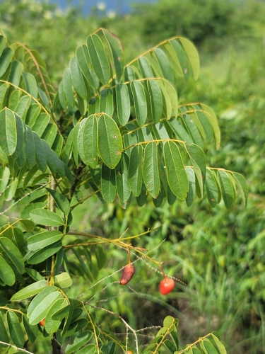
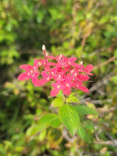
Gallery
Geotagged photos within ~6 miles of Antanalabe, from Wikimedia Commons contributors.


Photos via Wikimedia Commons — see each image page for license & attribution.
Sources
- • Wikimedia Commons
- • Wikidata
- • Open-Meteo Air Quality (CAMS)
- • USGS Earthquake Catalog (global feed)
- • GBIF (Global Biodiversity Information Facility)
- • iNaturalist
- • Open-Meteo / sunrise-sunset.org