Browse / Madagascar / Madagascar / Tsiately
Tsiately
Madagascarvillage
Demographic figures from INSTAT Madagascar. Overview below cites Wikipedia and may reference a different year.
City facts
Overview
Set in Madagascar, Tsiately is recorded in open geodata as a village. Located at -23.331°, 47.609°, Tsiately occupies a tropical portion of the southern hemisphere. Up-to-date population figures for this locality are not available in the open datasets we monitor. Open solar datasets indicate about 1,796 kWh/m² of solar irradiance per year, combined with sunshine for roughly 70% of daylight hours. The latitude suggests warm temperatures throughout the year with pronounced wet and dry seasons. Detailed open-data panels follow, covering demographics, climate, geography, wildlife and nearby settlements.
Summary composed automatically from structured open data on this page. See our Terms for details.
History & geography
Geography
Coordinates & boundaries from the US Census TIGER/Line shapefiles.
Climate
Air quality
Walkability
Amenities nearby
Wildlife & biodiversity
Earthquake history
Photos
Sights & places nearby
Notable people from here
Geography & sun
Elevation, sunrise/sunset and daylight from Open-Meteo. Solar climatology from NASA POWER.
Nearby airports
Public attention
Books about this place
Recent natural events nearby
Ground air-quality sensors
Recently spotted species
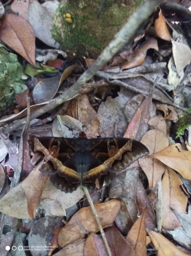
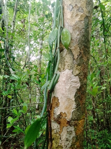
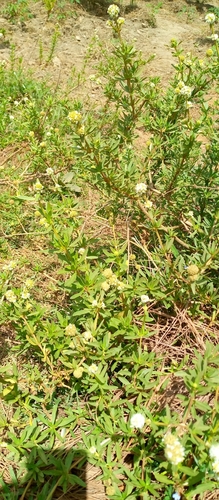
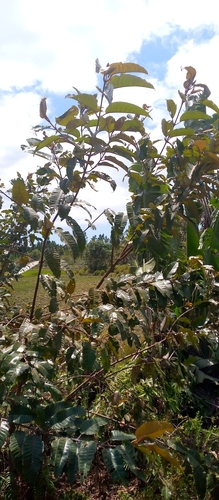
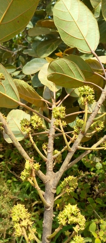
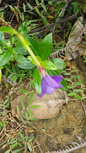
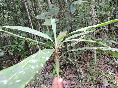
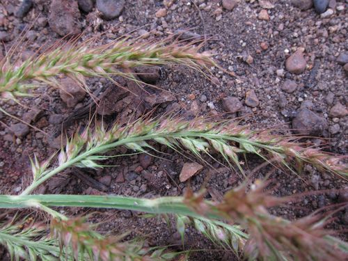
Research-grade observations from iNaturalist (within ~15 mi).
Events
Gallery
Sources
- • iNaturalist
- • Open-Meteo / sunrise-sunset.org