Browse / United States / Michigan / Carleton
Carleton
Michiganvillage

Carleton
Total population
2,595
Median home value
$207,400
Bachelor's+
Median income
$73,365
Founded
1872
Demographic figures from US Census Bureau · ACS 5-year estimates. Overview below cites Wikipedia and may reference a different year.
City facts
Facts from Wikidata (CC0).
Overview
Carleton is a village in Monroe County in the U.S. state of Michigan. The population was 2,326 at the 2020 census. The village is located within Ash Township.
Read more on WikipediaHistory & geography
History
The community was first platted in 1872 by Daniel Matthews, who had worked previously to select Lansing as the state capital. He became the first postmaster when the Carleton post office was established on February 24, 1874. The community was named after Will Carleton, a local poet. The community centered along a railway line first built by the Pere Marquette Railway and a junction with the Chicago and Canada Southern Railway, as well as the nearby Pennsylvania Railroad. The village incorporated in 1911.
Geography
Carleton is in northeastern Monroe County, in the western part of Ash Township. It is north of Monroe, the county seat, and southwest of Flat Rock. Interstate 275, a western bypass of the Detroit area, passes one mile east of the village, with access from Exit 5, Carleton Rockwood Road. According to the U.S. Census Bureau, the village has a total area of , all land. The land is drained to the east and south by tributaries of Swan Creek, which flows southeast toward Lake Erie.
Excerpted from the corresponding Wikipedia article (CC BY-SA).
Demographics & economy
Race & ethnicity
Source: US Census Bureau — American Community Survey, 5-year estimates.
Geography
Coordinates & boundaries from the US Census TIGER/Line shapefiles.
Climate
Current forecast
Forecast for Carleton, MI from NOAA NWS API.
Air quality
Industrial & pollution facilities
Natural hazard risk
Health (adults)
Age-adjusted prevalence estimates from CDC PLACES (latest release).
Walkability
Amenities nearby
Wildlife & biodiversity
Schools
Largest nearby schools
- Monroe High SchoolHigh · MONROE · 1,304 students · 20.4:1 ratio
- Triumph AcademyElementary · MONROE · 777 students · 22.9:1 ratio
- Airport Senior High SchoolHigh · CARLETON · 775 students · 19.4:1 ratio
- Jefferson High SchoolHigh · NEWPORT · 462 students · 22:1 ratio
- Arborwood Elementary SchoolElementary · MONROE · 435 students · 16.7:1 ratio
- Raisinville SchoolElementary · MONROE · 435 students · 20.7:1 ratio
- Wagar 78 Middle SchoolMiddle · CARLETON · 427 students · 19.4:1 ratio
- Manor Elementary SchoolElementary · MONROE · 424 students · 15.7:1 ratio
Public K–12 schools within ~10 mi from Urban Institute Education Data Portal (NCES Common Core of Data, 2022).
Earthquake history
Photos
Sights & places nearby
Notable people from here
Nearby places in Michigan
- South Rockwood6.1 mi away
- Rockwood7.7 mi away · pop. 3,161
- Woodland Beach8.9 mi away
- Detroit Beach9.3 mi away
- Estral Beach9.3 mi away
- Woodhaven9.6 mi away
- Stony Point9.8 mi away · pop. 1,825
- West Monroe10.1 mi away
- Belleville11.1 mi away · pop. 3,910
- South Monroe11.5 mi away
- Trenton11.6 mi away
- Wayne15.2 mi away
Geography & sun
Nearby airports
Public attention
Books about this place
Recent natural events nearby
Ground air-quality sensors
Recently spotted species


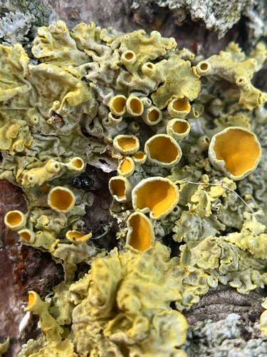


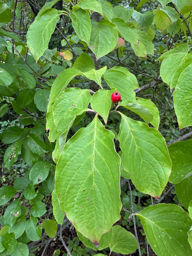
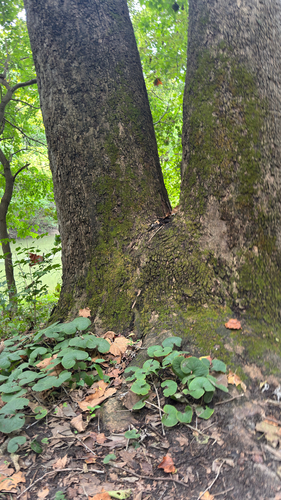

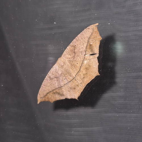
Research-grade observations from iNaturalist (within ~15 mi).
Nearest stream gauge
Events
Gallery
Sources
- • Wikipedia
- • US Census Bureau (ACS 5-year estimates)
- • NOAA National Weather Service
- • Wikidata
- • NCES via Urban Institute Education Data Portal
- • iNaturalist
- • CDC PLACES