Browse / United States / Michigan / Center Line
Center Line
Michigancity

Center Line
Total population
8,463
Median home value
$156,600
Bachelor's+
Median income
$54,703
Founded
1837
Demographic figures from US Census Bureau · ACS 5-year estimates. Overview below cites Wikipedia and may reference a different year.
City facts
Facts from Wikidata (CC0).
Overview
Center Line is a city in Macomb County in the U.S. state of Michigan. An inner-ring suburb of Detroit, Center Line is located roughly 11 miles (17.7 km) north of downtown Detroit, and is entirely surrounded by the larger city of Warren. As of the 2020 census, the city had a population of 8,552.
Read more on WikipediaHistory & geography
History
Historically, the land that Center Line came to occupy was swamp and wilderness until the early nineteenth century. As land became scarce, French, German, Belgian, and Irish immigrants began clearing the forests and draining the swamps. Center Line was known as "Kunrod's Corner" during the mid-nineteenth century. The theory is that the French named it "Center Line" because it was the middle of three Potawatomi trails from Fort Detroit to northern trading posts. The "center line" was the trail used from Detroit to Utica. The community received its initial start when Catholics decided to build a church so that they would not have to walk to St. Mary's in Detroit for Sunday Mass. This church (St. Clement's) was established in 1854 and attracted more Catholic settlers into the area. In 1863, the first general store was constructed by Joeseph Buechel. On July 19, 1878, Hieronymous Engelmann was the first postmaster, and he was succeeded in 1885 by Sophia Buechel. The "Centre Line" post office closed on July 31, 1906, and the name was restored to Center Line thereafter. In this era, street car tracks connected Detroit to Center Line along Van Dyke Road, and Ten Mile Road was the final stop of the street car. The village was incorporated in 1925 in the center of Warren Township, which is now the city of Warren, and was incorporated as a city in 1936.
Geography
Center Line is in southwestern Macomb County and is surrounded entirely by the city of Warren. It is north of downtown Detroit, west of St. Clair Shores, east of Royal Oak, and south of Utica. Interstate 696 runs along the northern edge of Center Line, with access from Exits 22 through 24. Highway M-53 (Van Dyke Avenue) runs north-south through the center of town, connecting Detroit and Utica. According to the U.S. Census Bureau, the city of Center Line has a total area of , all land.
Excerpted from the corresponding Wikipedia article (CC BY-SA).
Demographics & economy
Race & ethnicity
Source: US Census Bureau — American Community Survey, 5-year estimates.
Geography
Coordinates & boundaries from the US Census TIGER/Line shapefiles.
Climate
Current forecast
Forecast for Center Line, MI from NOAA NWS API.
Air quality
Industrial & pollution facilities
Natural hazard risk
Health (adults)
Age-adjusted prevalence estimates from CDC PLACES (latest release).
Walkability
Amenities nearby
Wildlife & biodiversity
Most-observed species
- House SparrowPasser domesticus (Linnaeus, 1758) · Aves33,202
- American RobinTurdus migratorius Linnaeus, 1766 · Aves30,236
- Northern CardinalCardinalis cardinalis (Linnaeus, 1758) · Aves28,919
- European StarlingSturnus vulgaris Linnaeus, 1758 · Aves26,113
- Blue JayCyanocitta cristata (Linnaeus, 1758) · Aves25,437
- Mourning DoveZenaida macroura (Linnaeus, 1758) · Aves25,424
- Canada Goose (canadensis Group)Branta canadensis (Linnaeus, 1758) · Aves21,933
- MallardAnas platyrhynchos Linnaeus, 1758 · Aves19,908
Citizen-science & research observations from the Global Biodiversity Information Facility (GBIF).
Schools
Largest nearby schools
- Adlai Stevenson High SchoolHigh · STERLING HEIGHTS · 1,977 students · 18.7:1 ratio
- Henry Ford II High SchoolHigh · STERLING HEIGHTS · 1,717 students · 20:1 ratio
- Fraser High SchoolHigh · FRASER · 1,524 students · 16.7:1 ratio
- Lakeview High SchoolHigh · SAINT CLAIR SHORES · 1,465 students · 24.8:1 ratio
- Sterling Heights Senior HSHigh · STERLING HEIGHTS · 1,389 students · 21:1 ratio
- Warren Mott High SchoolHigh · WARREN · 1,385 students · 23.9:1 ratio
- Cousino Senior High SchoolHigh · WARREN · 1,279 students · 23.7:1 ratio
- Roseville High SchoolHigh · ROSEVILLE · 1,216 students · 19.9:1 ratio
Public K–12 schools within ~10 mi from Urban Institute Education Data Portal (NCES Common Core of Data, 2022).
Earthquake history
Most recent
- M 2.7 — 2026-05-048 km N of Maybee, Michigan
- M 3 — 2026-04-267 km SSE of Amherstburg, Canada
- M 2.5 — 2022-05-232 km NNW of Corunna, Canada
- M 3.2 — 2020-08-212 km SSE of Detroit Beach, Michigan
- M 3.4 — 2018-04-20Michigan
- M 2.6 — 2017-05-1418 km ENE of Leamington, Canada
Events from the USGS Earthquake Catalog (global) (FDSN Event Web Service).
Photos
Sights & places nearby
Notable people from here


People born within ~10 km, from Wikidata (CC0). Click any name for their Wikipedia article.
Nearby places in Michigan
- Eastpointe4.3 mi away · pop. 33,982
- Ferndale5.5 mi away · pop. 19,190
- Fraser5.7 mi away · pop. 14,583
- Hamtramck6.1 mi away · pop. 27,743
- St. Clair Shores7 mi away · pop. 58,140
- Grosse Pointe Woods7.1 mi away · pop. 16,094
- Clawson7.4 mi away · pop. 11,374
- Detroit7.7 mi away · pop. 645,702
- Oak Park8 mi away · pop. 29,318
- Village of Grosse Pointe Shores8.3 mi away · pop. 2,795
- Grosse Pointe Farms9.1 mi away · pop. 9,904
- Grosse Pointe9.2 mi away
Geography & sun
Elevation, sunrise/sunset and daylight from Open-Meteo. Solar climatology from NASA POWER.
Nearby airports
Public attention
Pageview totals from the Wikimedia Pageviews API.
Books about Center Line


Search results from Open Library.
Recent natural events nearby
Ground air-quality sensors
Recently spotted species
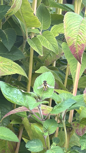
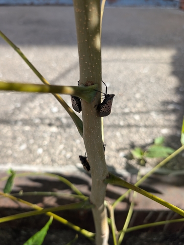
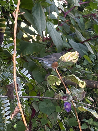

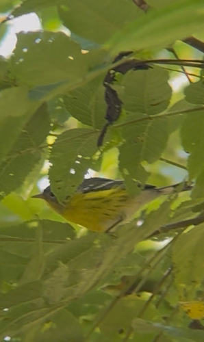
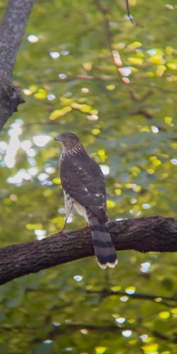
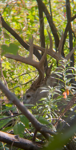
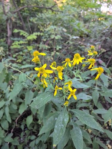
Research-grade observations from iNaturalist (within ~15 mi).
Nearest stream gauge
Events
Gallery
Sources
- • Wikipedia
- • US Census Bureau (ACS 5-year estimates)
- • NOAA National Weather Service
- • Wikidata
- • USGS Earthquake Catalog (global feed)
- • NCES via Urban Institute Education Data Portal
- • GBIF (Global Biodiversity Information Facility)
- • iNaturalist
- • CDC PLACES
- • Open-Meteo / sunrise-sunset.org
- • Wikipedia Pageviews API
- • Open Library