Browse / United States / Michigan / Constantine
Constantine
Michiganvillage

Constantine
Total population
2,154
Median home value
$115,200
Bachelor's+
Median income
$73,320
Founded
1831
Demographic figures from US Census Bureau · ACS 5-year estimates. Overview below cites Wikipedia and may reference a different year.
City facts
Facts from Wikidata (CC0).
Overview
Constantine is a village in St. Joseph County in the U.S. state of Michigan. As of the 2020 census, Constantine had a population of 1,947. The village is located within Constantine Township. U.S. Highway 131 leads to Kalamazoo to the north and to the Indiana Toll Road six miles to the south. The St. Joseph River, navigable from source to outlet, passes through the village, emptying in Lake Michigan to the west.
Read more on WikipediaHistory & geography
History
The Potawatomi and related Native Americans historically had villages along the St. Joseph River and other waterways. Several of their leaders signed the Treaty of Chicago, agreeing to cede much of their land in southwestern Michigan, Indiana and Ohio country. The village was platted in 1831 at the Fawn River's confluence with the St. Joseph River, where three European-American families had settled. A gristmill, the first in the county to run by water, had been built here in 1830. It was first named Meeks Mill after Johnathon Meeks, who built the first grain mill. A Yankee from New York or New England, he moved to several other frontier areas, each time having a town named after him. When using names of classical figures later came into vogue, the village was renamed for the Roman emperor Constantine the Great. The Main Street of town is a historic center with richly detailed, two-story commercial buildings of the late 19th century. It is designated US 131 through the village and connected to newer roads outside.
Geography
According to the United States Census Bureau, the village has a total area of , of which is land and is water.
Excerpted from the corresponding Wikipedia article (CC BY-SA).
Demographics & economy
Race & ethnicity
Source: US Census Bureau — American Community Survey, 5-year estimates.
Geography
Coordinates & boundaries from the US Census TIGER/Line shapefiles.
Climate
Current forecast
Forecast for Constantine, MI from NOAA NWS API.
Air quality
Industrial & pollution facilities
Natural hazard risk
Health (adults)
Age-adjusted prevalence estimates from CDC PLACES (latest release).
Walkability
Amenities nearby
Wildlife & biodiversity
Most-observed species
- Northern CardinalCardinalis cardinalis (Linnaeus, 1758) · Aves3,917
- American RobinTurdus migratorius Linnaeus, 1766 · Aves3,289
- Blue JayCyanocitta cristata (Linnaeus, 1758) · Aves2,895
- Red-winged BlackbirdAgelaius phoeniceus (Linnaeus, 1766) · Aves2,674
- White-breasted NuthatchSitta carolinensis Latham, 1790 · Aves2,619
- Mourning DoveZenaida macroura (Linnaeus, 1758) · Aves2,383
- Red-bellied WoodpeckerMelanerpes carolinus (Linnaeus, 1758) · Aves2,364
- Downy WoodpeckerDryobates pubescens (Linnaeus, 1766) · Aves2,342
Citizen-science & research observations from the Global Biodiversity Information Facility (GBIF).
Schools
Largest nearby schools
- Three Rivers High SchoolHigh · THREE RIVERS · 653 students · 16.3:1 ratio
- Three Rivers Middle SchoolMiddle · THREE RIVERS · 537 students · 16.8:1 ratio
- Centreville Elementary SchoolElementary · CENTREVILLE · 480 students · 17.1:1 ratio
- Constantine High SchoolHigh · CONSTANTINE · 400 students · 19:1 ratio
- White Pigeon JrSr High SchoolHigh · WHITE PIGEON · 386 students · 16.1:1 ratio
- Centreville Jr Sr High SchoolHigh · CENTREVILLE · 372 students · 18.6:1 ratio
- Central Elementary SchoolElementary · WHITE PIGEON · 347 students · 17.4:1 ratio
- Ruth Hoppin SchoolElementary · THREE RIVERS · 293 students · 17.2:1 ratio
Public K–12 schools within ~10 mi from Urban Institute Education Data Portal (NCES Common Core of Data, 2022).
Earthquake history
Photos
Sights & places nearby
Notable people from here


People born within ~10 km, from Wikidata (CC0). Click any name for their Wikipedia article.
Nearby places in Michigan
- Centreville9.2 mi away · pop. 1,565
- Marcellus15 mi away · pop. 1,112
- Mendon16 mi away · pop. 815
- Lawton24.6 mi away · pop. 2,104
- Athens28 mi away · pop. 1,134
- Kalamazoo30.5 mi away · pop. 73,280
- Union City31.1 mi away · pop. 1,940
- Climax32.4 mi away · pop. 723
- Eastwood32.7 mi away · pop. 6,669
- Coldwater35.1 mi away · pop. 13,671
- Hartford36.1 mi away · pop. 2,458
- Augusta38.1 mi away · pop. 776
Geography & sun
Elevation, sunrise/sunset and daylight from Open-Meteo. Solar climatology from NASA POWER.
Nearby airports
Public attention
Pageview totals from the Wikimedia Pageviews API.
Books about Constantine


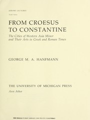
Search results from Open Library.
Recent natural events nearby
Ground air-quality sensors
Recently spotted species
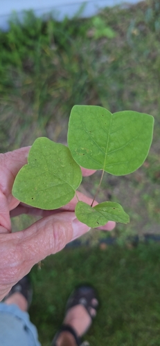
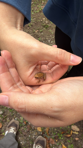
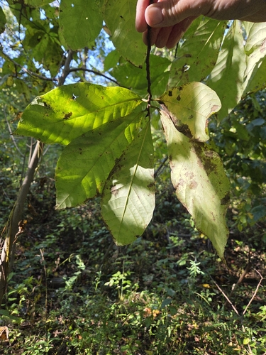
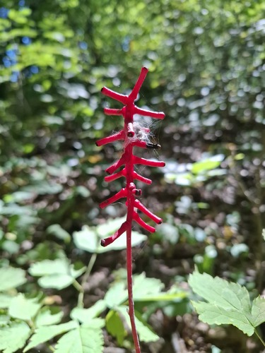
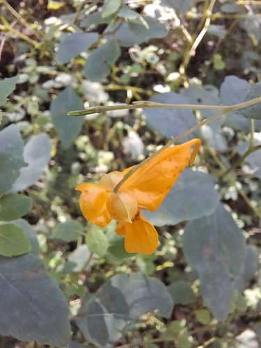
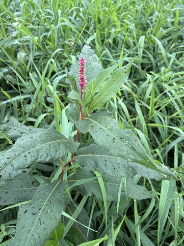
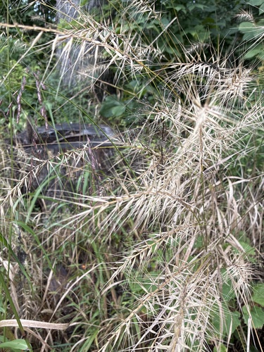
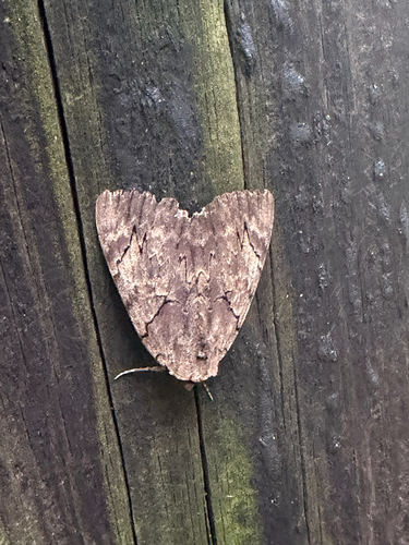
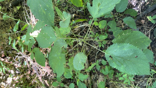
Research-grade observations from iNaturalist (within ~15 mi).
Nearest stream gauge
Live readings from USGS NWIS · measured 2026-10-15 16:15 UTC.
Events
Gallery
Sources
- • Wikipedia
- • US Census Bureau (ACS 5-year estimates)
- • NOAA National Weather Service
- • Wikidata
- • USGS NWIS (water data)
- • NCES via Urban Institute Education Data Portal
- • GBIF (Global Biodiversity Information Facility)
- • iNaturalist
- • CDC PLACES
- • Open-Meteo / sunrise-sunset.org
- • Wikipedia Pageviews API
- • Open Library