Browse / United States / Michigan / Eagle River
Eagle River
MichiganCDP

Eagle River
Total population
83
Median home value
$350,000
Bachelor's+
Median income
$78,750
Demographic figures from US Census Bureau · ACS 5-year estimates. Overview below cites Wikipedia and may reference a different year.
City facts
Overview
Eagle River is an unincorporated community and census-designated place (CDP) in the U.S. state of Michigan. It is the county seat of Keweenaw County. Its population was 65 at the 2020 census, which makes it by far the least-populated county seat in the state of Michigan. As an unincorporated community, Eagle River has no legal autonomy and is part of Allouez Township and Houghton Township.
Read more on WikipediaHistory & geography
History
Eagle River was a boom town of the copper mining era in the Keweenaw. Copper was discovered in 1845 at the Cliff Range nearby, the so-called "Cliff Lode". The land of the Eagle River community had been leased by the Keweenaw Copper Company in 1843. It was later platted by the Phoenix Company and sold as individual lots. The first postmaster was named on October 24, 1845. It was part of Houghton County until Keweenaw County was organized in 1861. The profitability of the area's copper mines had begun to decline sharply by around 1870. The Eagle River Timber Bridge is a wooden arch bridge that carries highway M-26 over the Eagle River. It opened in 1990 as a replacement for the historic Lake Shore Drive Bridge that runs parallel to it. Eagle River is home to the Holy Transfiguration Skete, a Byzantine Catholic monastery and community, which is known for producing jams and other foodstuffs from berries collected in the nearby forests. Holy Transfiguration is one of only a few Byzantine Catholic monasteries in the United States. The community of Eagle River was listed as a newly-organized census-designated place for the 2010 census, meaning it now has officially defined boundaries and population statistics for the first time.
Geography
According to the United States Census Bureau, Eagle River has a total area of , of which is land and (0.34%) is water. Eagle River is listed as being part of both Allouez Township and Houghton Township. Only a very small portion of and no residents are within the Allouez Township portion of the community, while the majority of land and all residents are within Houghton Township. The community is on M-26 on the north side of the Keweenaw Peninsula on the shores of Lake Superior. It is about northeast of Houghton and is situated on the mouth of the Eagle River. The Mohawk 49950 ZIP Code serves the community. The decommissioned Eagle River Light is on the west bank of the river on a sand bluff overlooking Lake Superior, although the view is partially obscured by condominiums.
Excerpted from the corresponding Wikipedia article (CC BY-SA).
Demographics & economy
Race & ethnicity
Source: US Census Bureau — American Community Survey, 5-year estimates.
Geography
Coordinates & boundaries from the US Census TIGER/Line shapefiles.
Climate
Current forecast
Forecast for Eagle River, MI from NOAA NWS API.
Air quality
Industrial & pollution facilities
Natural hazard risk
Health (adults)
Walkability
Amenities nearby
Wildlife & biodiversity
Schools
Earthquake history
Photos
Sights & places nearby
Notable people from here
Nearby places in Michigan
Geography & sun
Elevation, sunrise/sunset and daylight from Open-Meteo. Solar climatology from NASA POWER.
Nearby airports
Public attention
Pageview totals from the Wikimedia Pageviews API.
Books about Eagle River

Search results from Open Library.
Recent natural events nearby
Ground air-quality sensors
Recently spotted species


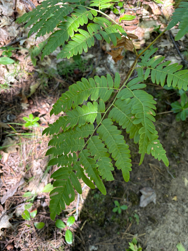
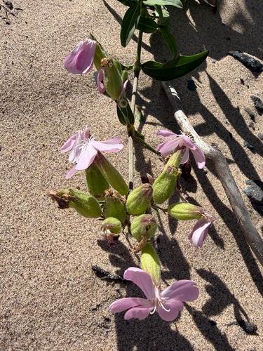

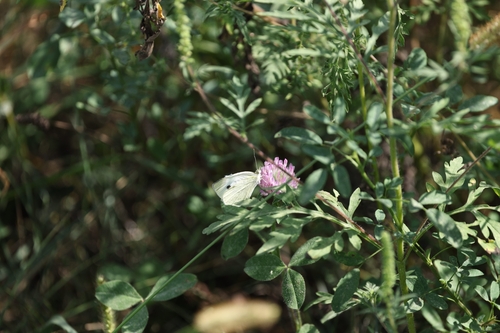


Research-grade observations from iNaturalist (within ~15 mi).
Nearest stream gauge
Live readings from USGS NWIS · measured 2026-09-23 12:15 UTC.
Events
Gallery
Sources
- • Wikipedia
- • US Census Bureau (ACS 5-year estimates)
- • NOAA National Weather Service
- • USGS NWIS (water data)
- • iNaturalist
- • Open-Meteo / sunrise-sunset.org
- • Wikipedia Pageviews API
- • Open Library