Browse / United States / Michigan / Eaton Rapids
Eaton Rapids
Michigancity

Eaton Rapids
Total population
5,183
Median home value
$155,800
Bachelor's+
Median income
$63,875
Founded
1835
Demographic figures from US Census Bureau · ACS 5-year estimates. Overview below cites Wikipedia and may reference a different year.
City facts
Facts from Wikidata (CC0).
Overview
Eaton Rapids is a city in Eaton County in the U.S. state of Michigan. The population was 5,203 at the 2020 census.
Read more on WikipediaHistory & geography
History
The Potawatomi people established a village in the area of what is now Eaton Rapids in about 1774. This was part of their wide territory in historic times. The area constituting Eaton Rapids was first settled by Euro-Americans around the year 1835, who were drawn there because of the timber and water power in the area. It became a center of industry. The following year, a sawmill was constructed near Spring Brook in Spicerville; it provided the lumber settlers used to build Eaton Rapids. In 1837, the Old Red Mill was constructed by the mill company; it used waterpower from the stream to grind corn. The mill company later used wood from Spicerville to construct their own sawmill along the Grand River, as well as a wool carding mill. Eaton Rapids became an island city after a canal, or "race", had been dug in the 1840s channeling water from the Grand River to Spring Brook. While this provided greater water power for the mills located on Spring Brook just before it united with the Grand River, it also caused some concern about the quality of drinking water from regular, shallow wells. Morgan Vaughan, a prominent Eaton Rapids resident writing in 1870, described the situation: "A dam was erected and a deep race excavated to throw the available waters of the river into the creek, from which they could be the more easily trained to motive power. But that which promised so well at first, proved the bane of the town's prosperity. The digging of the race and raising the streams on two sides of the town plat, had the effect to so saturate the triangular piece of land within it, that nothing but surface water could be obtained from the shallow wells, and a state of dearth and unhealthiness prevailed, by no means desirable." Enos Beebe Frost, (E.B. Frost), built a hotel…
Geography
Eaton Rapids is on the northward course of the Grand River as it flows from Jackson to Lansing. There it turns westward at its confluence with the Spring Brook. According to the United States Census Bureau, the city has a total area of , of which is land and is water. *Grand River * connects with I-94, to the south near Albion; and with I-96, north, just south of Lansing. * connects with I-69, west in Charlotte; and with US 127 and I-94, to the southeast just north of Jackson. * provides access from Eaton Rapids to the Veterans of Foreign Wars (VFW) National Home near Onondaga.
Excerpted from the corresponding Wikipedia article (CC BY-SA).
Demographics & economy
Race & ethnicity
Source: US Census Bureau — American Community Survey, 5-year estimates.
Geography
Coordinates & boundaries from the US Census TIGER/Line shapefiles.
Climate
Current forecast
Forecast for Eaton Rapids, MI from NOAA NWS API.
Air quality
Industrial & pollution facilities
Natural hazard risk
Health (adults)
Age-adjusted prevalence estimates from CDC PLACES (latest release).
Walkability
Amenities nearby
Wildlife & biodiversity
Most-observed species
- Northern CardinalCardinalis cardinalis (Linnaeus, 1758) · Aves5,418
- American CrowCorvus brachyrhynchos C.L.Brehm, 1822 · Aves4,645
- Black-capped ChickadeePoecile atricapillus (Linnaeus, 1766) · Aves4,614
- Blue JayCyanocitta cristata (Linnaeus, 1758) · Aves4,588
- American RobinTurdus migratorius Linnaeus, 1766 · Aves4,174
- American GoldfinchSpinus tristis (Linnaeus, 1758) · Aves4,155
- Mourning DoveZenaida macroura (Linnaeus, 1758) · Aves4,144
- Downy WoodpeckerDryobates pubescens (Linnaeus, 1766) · Aves3,937
Citizen-science & research observations from the Global Biodiversity Information Facility (GBIF).
Schools
Largest nearby schools
- Eaton Rapids High SchoolHigh · EATON RAPIDS · 615 students · 17.6:1 ratio
- Eaton Rapids Middle SchoolMiddle · EATON RAPIDS · 453 students · 16.2:1 ratio
- Greyhound Intermediate SchoolElementary · EATON RAPIDS · 382 students · 13.2:1 ratio
- Dimondale Elementary SchoolElementary · DIMONDALE · 333 students · 13.3:1 ratio
- Parkview Elementary SchoolElementary · CHARLOTTE · 319 students · 15.9:1 ratio
- Potterville Elementary SchoolElementary · POTTERVILLE · 312 students · 14.9:1 ratio
- Lockwood Elementary SchoolElementary · EATON RAPIDS · 307 students · 14:1 ratio
- Potterville High SchoolHigh · POTTERVILLE · 229 students · 19.1:1 ratio
Public K–12 schools within ~10 mi from Urban Institute Education Data Portal (NCES Common Core of Data, 2022).
Earthquake history
Most recent
- M 3.3 — 2015-06-305 km NNE of Burlington, Michigan
- M 4.2 — 2015-05-025 km S of Galesburg, Michigan
Events from the USGS Earthquake Catalog (global) (FDSN Event Web Service).
Photos
Sights & places nearby
Notable people from here


People born within ~10 km, from Wikidata (CC0). Click any name for their Wikipedia article.
Nearby places in Michigan
Geography & sun
Elevation, sunrise/sunset and daylight from Open-Meteo. Solar climatology from NASA POWER.
Nearby airports
Public attention
Pageview totals from the Wikimedia Pageviews API.
Books about Eaton Rapids
Search results from Open Library.
Recent natural events nearby
Ground air-quality sensors
Recently spotted species

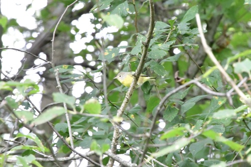
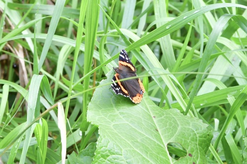
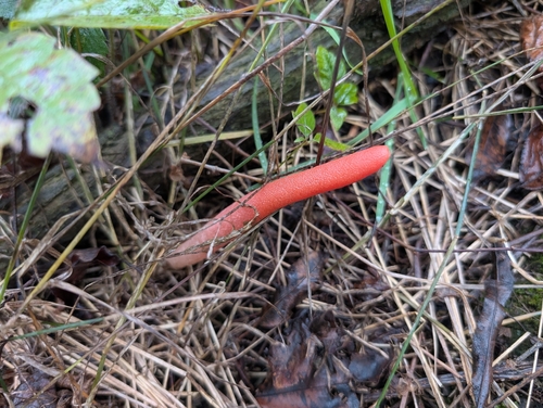
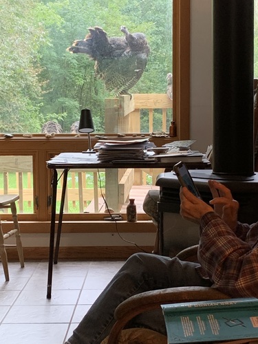
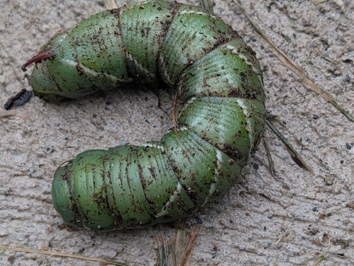
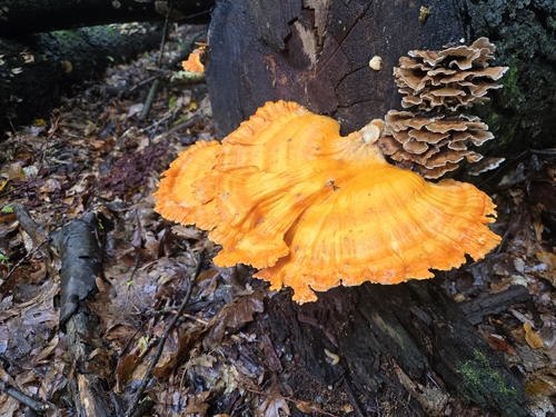
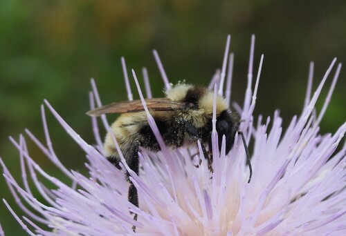
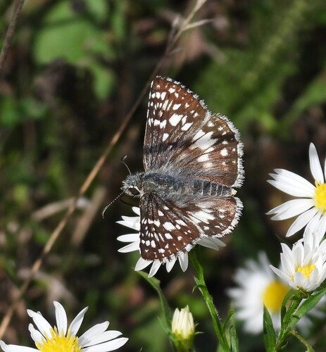
Research-grade observations from iNaturalist (within ~15 mi).
Nearest stream gauge
Events
Gallery
Sources
- • Wikipedia
- • US Census Bureau (ACS 5-year estimates)
- • NOAA National Weather Service
- • Wikidata
- • USGS Earthquake Catalog (global feed)
- • NCES via Urban Institute Education Data Portal
- • GBIF (Global Biodiversity Information Facility)
- • iNaturalist
- • CDC PLACES
- • Open-Meteo / sunrise-sunset.org
- • Wikipedia Pageviews API
- • Open Library