Browse / United States / Michigan / Flint
Flint
Michigancity

Flint
Total population
79,727
Median home value
$63,000
Bachelor's+
Median income
$41,410
Founded
1818
Air quality index
Demographic figures from US Census Bureau · ACS 5-year estimates. Overview below cites Wikipedia and may reference a different year.
City facts
Facts from Wikidata (CC0).
Overview
Flint is a city in and the county seat of Genesee County, Michigan, United States. The city's population was 81,252 at the 2020 census, and was estimated to be 79,735 in 2024, making it the most populous city in Genesee County and the 12th-most populous city in Michigan. Located along the Flint River 66 miles (106 km) northwest of Detroit, it is a principal city within the Central Michigan region. The Flint metropolitan area is located entirely within Genesee County and is the fourth-largest metro area in Michigan, with a population of 406,892 in the 2020 census.
Read more on WikipediaHistory & geography
History
The region was home to several Ojibwe tribes at the start of the 19th century, with a particularly significant community established near present-day Montrose. The Flint River had several convenient fords which became points of contention among rival tribes, as attested by the presence of nearby arrowheads and burial mounds. Some of the city currently resides atop ancient Ojibwe burial grounds. In 1819, Jacob Smith, a fur trader on cordial terms with both the local Ojibwe and the territorial government, founded a trading post at the Grand Traverse of the Flint River. On several occasions, Smith negotiated land exchanges with the Ojibwe on behalf of the U.S. government, and he was highly regarded on both sides. Smith apportioned many of his holdings to his children. As the ideal stopover on the overland route between Detroit and Saginaw, Flint grew into a small but prosperous village and incorporated in 1855. The 1860 U.S. census indicated that Genesee County had a population of 22,498 of Michigan's 750,000. In the latter half of the 19th century, Flint became a center of the Michigan lumber industry. Revenue from lumber funded the establishment of a local carriage-making industry. As horse-drawn carriages gave way to the automobiles, Flint then naturally grew into a major player in the nascent auto industry. Buick Motor Company, after a rudimentary start in Detroit, soon moved to Flint. AC Spark Plug originated in Flint. These were followed by several now-defunct automobile marques such as the Dort, Little, Flint, and Mason brands. Chevrolet's first (and for many years, main) manufacturing facility was also in Flint, although the Chevrolet headquarters were in Detroit. For a brief period, all Chevrolets and Buicks were built in Flint. The first Ladies' Library…
Geography
Flint lies in the Flint/Tri-Cities region of Michigan. Flint and Genesee County can be categorized as a subregion of Flint/Tri-Cities. It is located along the Flint River, which flows through Lapeer, Genesee, and Saginaw counties and is long. According to the United States Census Bureau, the city has a total area of , of which, is land and is water. Flint lies just to the northeast of the Flint hills. The terrain is low and rolling along the south and east sides, and flatter to the northwest. Flint has several neighborhoods grouped around the center of the city on the four cardinal sides. The downtown business district is centered on Saginaw Street south of the Flint River. Just west, on opposite sides of the river, are Carriage Town (north) and the Grand Traverse Street District (south). Both neighborhoods boast strong neighborhood associations. These neighborhoods were the center of manufacturing for and profits from the nation's carriage industry until the 1920s and are the site of many well-preserved Victorian homes and the setting of Atwood Stadium. The University Avenue corridor of Carriage Town is home to the largest concentration of Greek housing in the area. Many fraternity houses from Kettering University and the University of Michigan-Flint are located there. Just north of downtown is River Village, an example of gentrification via mixed-income public housing. To the east of I-475 is Central Park and Fairfield Village. These are the only two neighborhoods between UM-Flint and Mott Community College and enjoy strong neighborhood associations. Central Park piloted a project to convert street lights to LED and is defined by seven cul-de-sacs. The North Side and 5th Ward are predominantly African American, with such historic districts as Buick City and…
Excerpted from the corresponding Wikipedia article (CC BY-SA).
Demographics & economy
Race & ethnicity
Source: US Census Bureau — American Community Survey, 5-year estimates.
Geography
Coordinates & boundaries from the US Census TIGER/Line shapefiles.
Climate
Current forecast
Forecast for Flint, MI from NOAA NWS API.
Air quality
Current readings from Open-Meteo Air Quality API (Copernicus CAMS European reanalysis).
Industrial & pollution facilities
Natural hazard risk
Health (adults)
Age-adjusted prevalence estimates from CDC PLACES (latest release).
Walkability
Amenities nearby
Wildlife & biodiversity
Most-observed species
- Blue JayCyanocitta cristata (Linnaeus, 1758) · Aves5,168
- American CrowCorvus brachyrhynchos C.L.Brehm, 1822 · Aves4,948
- Northern CardinalCardinalis cardinalis (Linnaeus, 1758) · Aves4,903
- American RobinTurdus migratorius Linnaeus, 1766 · Aves4,809
- Mourning DoveZenaida macroura (Linnaeus, 1758) · Aves4,751
- Black-capped ChickadeePoecile atricapillus (Linnaeus, 1766) · Aves4,239
- Red-winged BlackbirdAgelaius phoeniceus (Linnaeus, 1766) · Aves3,978
- American GoldfinchSpinus tristis (Linnaeus, 1758) · Aves3,928
Citizen-science & research observations from the Global Biodiversity Information Facility (GBIF).
Schools
Largest nearby schools
- Grand Blanc Community High SchoolHigh · GRAND BLANC · 2,556 students · 21.5:1 ratio
- Davison High SchoolHigh · DAVISON · 1,694 students
- Flushing High SchoolHigh · FLUSHING · 1,278 students · 18.5:1 ratio
- Swartz Creek High SchoolHigh · SWARTZ CREEK · 1,042 students · 22.7:1 ratio
- CarmanAinsworth High SchoolHigh · FLINT · 1,033 students · 19.1:1 ratio
- International Academy of Flint K12Other · FLINT · 890 students · 17.8:1 ratio
- Kearsley High SchoolHigh · FLINT · 887 students · 18.9:1 ratio
- Davison Middle SchoolMiddle · DAVISON · 880 students · 20.5:1 ratio
Public K–12 schools within ~10 mi from Urban Institute Education Data Portal (NCES Common Core of Data, 2022).
Earthquake history
Events from the USGS Earthquake Catalog (global) (FDSN Event Web Service).
Photos
Sights & places nearby
Notable people from here


People born within ~10 km, from Wikidata (CC0). Click any name for their Wikipedia article.
Nearby places in Michigan
- Grand Blanc7.3 mi away · pop. 7,987
- Flushing8.1 mi away · pop. 8,284
- Fenton15.5 mi away · pop. 11,906
- Holly16 mi away · pop. 5,964
- Columbiaville17.1 mi away · pop. 754
- Ortonville17.7 mi away
- Burt18.1 mi away · pop. 1,339
- Lapeer18.5 mi away · pop. 9,082
- Millington19.1 mi away · pop. 1,122
- Frankenmuth21.4 mi away
- Millers Lake21.5 mi away · pop. 554
- Fostoria23 mi away · pop. 1,050
Geography & sun
Elevation, sunrise/sunset and daylight from Open-Meteo. Solar climatology from NASA POWER.
Nearby airports
Public attention
Pageview totals from the Wikimedia Pageviews API.
Books about Flint

Search results from Open Library.
Recent natural events nearby
Ground air-quality sensors
Recently spotted species
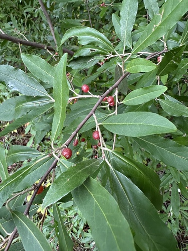

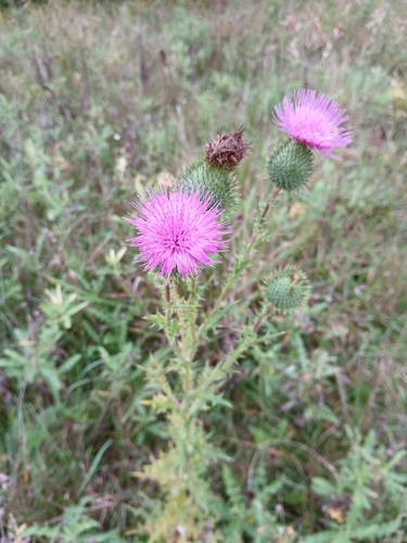
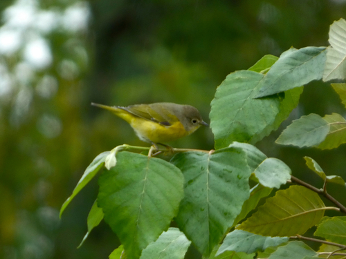
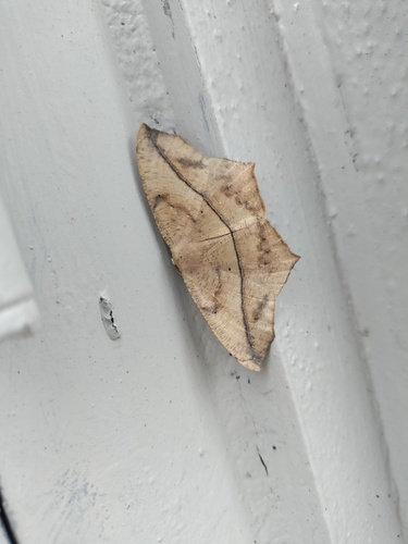
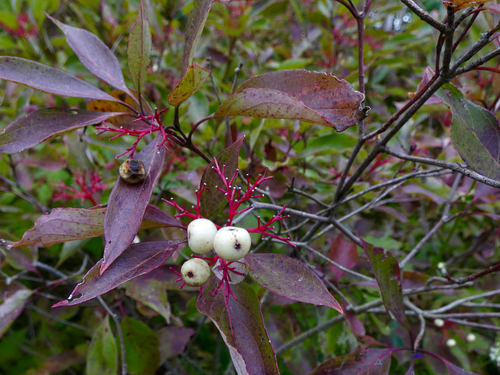
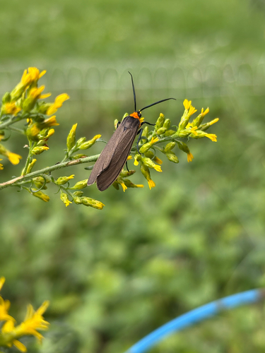
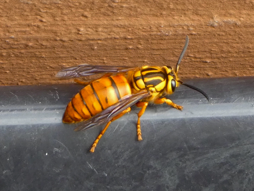

Research-grade observations from iNaturalist (within ~15 mi).
Nearest stream gauge
Live readings from USGS NWIS.
Events
Gallery
Sources
- • Wikipedia
- • US Census Bureau (ACS 5-year estimates)
- • NOAA National Weather Service
- • Wikidata
- • Open-Meteo Air Quality (CAMS)
- • USGS Earthquake Catalog (global feed)
- • USGS NWIS (water data)
- • NCES via Urban Institute Education Data Portal
- • GBIF (Global Biodiversity Information Facility)
- • iNaturalist
- • CDC PLACES
- • Open-Meteo / sunrise-sunset.org
- • Wikipedia Pageviews API
- • Open Library