Browse / United States / Michigan / Fowlerville
Fowlerville
Michiganvillage

Fowlerville
Total population
2,918
Median home value
$192,000
Bachelor's+
Median income
$45,773
Founded
1849
Demographic figures from US Census Bureau · ACS 5-year estimates. Overview below cites Wikipedia and may reference a different year.
City facts
Facts from Wikidata (CC0).
Overview
Fowlerville is a village in Livingston County in the U.S. state of Michigan. It is located in the northeast portion of Handy Township. The population was 2,951 at the time of the 2020 census.
Read more on WikipediaHistory & geography
History
The first permanent settler was Ralph Fowler in 1836, who also instructed Amos Adams to plat the village in 1849. A post office named "Cedar" was established in 1838, but was renamed "Fowlerville" in 1853, after the village's plat name. The village incorporated in 1871. In 1909, a tornado swept through the town and hit St. Agnes Catholic Church. The village is the site of the Livingston County Fair Grounds, where various large events are held annually. There are also annual festivities in the town during the year celebrating different national holiday such as Christmas, Fourth of July, and Memorial Day. The Fowlerville Chronicles, self-published in 2010 by Marion Cornett, follows the history of Fowlerville from the arrival of Ralph Fowler in 1836 through 2010. There are nearly 600 pictures, maps, aerials, and sketches. A copy of the book can be found on The Fowlerville Observer, a website dedicated to reporting the history of the village as well as modern-day events. Another feature on the website are "squint shots", in which a picture is shown each day of something in and/or around the village of Fowlerville. On November 9, 2024 Nazis demonstrated in downtown Fowlerville.
Geography
According to the United States Census Bureau, the village has a total area of , of which is land and is water.
Excerpted from the corresponding Wikipedia article (CC BY-SA).
Demographics & economy
Race & ethnicity
Source: US Census Bureau — American Community Survey, 5-year estimates.
Geography
Coordinates & boundaries from the US Census TIGER/Line shapefiles.
Climate
Current forecast
Forecast for Fowlerville, MI from NOAA NWS API.
Air quality
Industrial & pollution facilities
Natural hazard risk
Health (adults)
Walkability
Amenities nearby
Wildlife & biodiversity
Schools
Earthquake history
Photos
Sights & places nearby
Notable people from here


People born within ~10 km, from Wikidata (CC0). Click any name for their Wikipedia article.
Nearby places in Michigan
Geography & sun
Elevation, sunrise/sunset and daylight from Open-Meteo. Solar climatology from NASA POWER.
Nearby airports
Public attention
Pageview totals from the Wikimedia Pageviews API.
Books about Fowlerville
![Hav'alook Gardens [price list]](https://covers.openlibrary.org/b/id/12705054-M.jpg)


Search results from Open Library.
Recent natural events nearby
Ground air-quality sensors
Recently spotted species
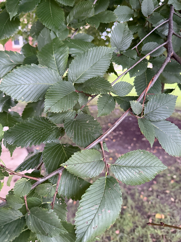
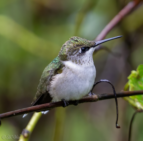

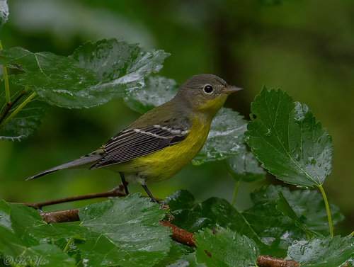
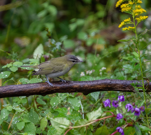
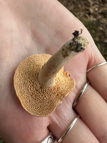

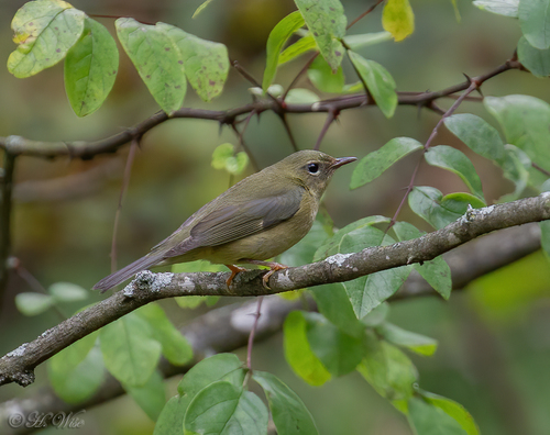
Research-grade observations from iNaturalist (within ~15 mi).
Nearest stream gauge
Events
Gallery
Sources
- • Wikipedia
- • US Census Bureau (ACS 5-year estimates)
- • NOAA National Weather Service
- • Wikidata
- • iNaturalist
- • Open-Meteo / sunrise-sunset.org
- • Wikipedia Pageviews API
- • Open Library