Browse / United States / Michigan / Grand Marais
Grand Marais
MichiganCDP

Grand Marais
Total population
153
Median home value
$166,700
Bachelor's+
Median income
$49,625
Demographic figures from US Census Bureau · ACS 5-year estimates. Overview below cites Wikipedia and may reference a different year.
City facts
Facts from Wikidata (CC0).
Overview
Grand Marais is an unincorporated community and census-designated place (CDP) in Alger County in the U.S. state of Michigan. It is located within Burt Township on the shores of Lake Superior, and the community is the eastern gateway to the Pictured Rocks National Lakeshore via H-58. As of the 2020 census, Grand Marais had a population of 234.
Read more on WikipediaHistory & geography
History
The name Grand Marais (French: great marsh) is a reference to the large, shallow harbor. French explorers and fur traders from the time of New France used the word "marais" to mean "harbor of refuge" as well as "marsh." A breakwater was later built that extends from the bay into Lake Superior. The Grand Marais Outer Range Light is at its end, and the Fresnel lens is still operative. It is one of only 70 such lenses that remain operational in the United States; 16 of these are in use on the Great Lakes, eight of which are in Michigan. Many controversies in the little town relate to the costs of dredging and breakwall-repair operations to keep the harbor functioning. See Grand Marais Harbor of Refuge Inner and Outer Lights. Grand Marais was one of five U.S. Life-Saving Service Stations established along the coast of Lake Superior between Munising and Whitefish Point in the Upper Peninsula of Michigan. It was part of the U.S. Life-Saving Service District 10 (later part of District 11). The other four Life-saving Stations were Deer Park, Two Heart, Crisp Point Light, and Vermilion Point. In 1915, these stations became part of the U.S. Coast Guard. In 1939 the U.S. Lighthouse Service also merged under the control of the U.S. Coast Guard. The community was home to the Grand Marais Air Force Station from 1954 to 1957. The station was part of the Air Defense Command, and provided general surveillance radar along the northern frontier of the United States. Grand Marais, with a population of about 300, gained national attention early in 2011 when it became the leader in a national contest sponsored by Reader's Digest. Visitors to the We Hear You America web site had the opportunity to "cheer" for any community in order to win recognition and cash prizes. Grand Marais'…
Geography
Grand Marais is the northern terminus of M-77. Seney and the Seney National Wildlife Refuge are to the south.
Excerpted from the corresponding Wikipedia article (CC BY-SA).
Demographics & economy
Race & ethnicity
Source: US Census Bureau — American Community Survey, 5-year estimates.
Geography
Coordinates & boundaries from the US Census TIGER/Line shapefiles.
Climate
Current forecast
Forecast for Grand Marais, MI from NOAA NWS API.
Air quality
Industrial & pollution facilities
Natural hazard risk
Health (adults)
Walkability
Amenities nearby
Wildlife & biodiversity
Schools
Earthquake history
Events from the USGS Earthquake Catalog (global) (FDSN Event Web Service).
Photos
Sights & places nearby
Notable people from here
Nearby places in Michigan
Geography & sun
Elevation, sunrise/sunset and daylight from Open-Meteo. Solar climatology from NASA POWER.
Nearby airports
Public attention
Pageview totals from the Wikimedia Pageviews API.
Books about Grand Marais

Search results from Open Library.
Recent natural events nearby
Ground air-quality sensors
Recently spotted species


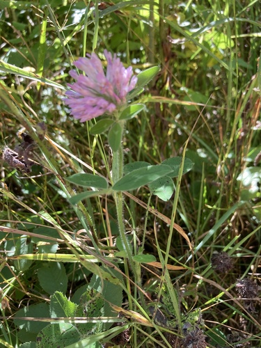

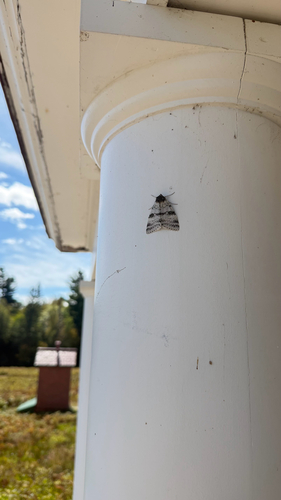

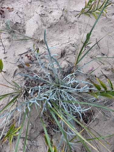

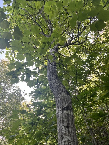
Research-grade observations from iNaturalist (within ~15 mi).
Nearest stream gauge
Events
Gallery
Sources
- • Wikipedia
- • US Census Bureau (ACS 5-year estimates)
- • NOAA National Weather Service
- • Wikidata
- • USGS Earthquake Catalog (global feed)
- • iNaturalist
- • Open-Meteo / sunrise-sunset.org
- • Wikipedia Pageviews API
- • Open Library