Browse / United States / Michigan / Indian River
Indian River
MichiganCDP

Indian River
Total population
2,039
Median home value
$314,100
Bachelor's+
Median income
$62,140
Demographic figures from US Census Bureau · ACS 5-year estimates. Overview below cites Wikipedia and may reference a different year.
City facts
Facts from Wikidata (CC0).
Overview
Indian River is an unincorporated community and census-designated place (CDP) in Cheboygan County in the U.S. state of Michigan. The population was 1,950 at the 2020 census. The CDP is located in Tuscarora Township between Burt Lake and Mullett Lake.
Read more on WikipediaHistory & geography
History
The area of Indian River was first settled as early as 1876. The community was founded two years later by land owner Floyd Martin and surveyed and platted by Oliver Hayden by 1880. The new settlement was named after the Indian River, which flows through the community. A post office was established on September 22, 1879. The North Central State Trail goes through the town. The National Shrine of the Cross in the Woods, an open-air sanctuary, is located in Indian River and dedicated to Kateri Tekakwitha, the first Native American saint.
Geography
According to the U.S. Census Bureau, the CDP has a total area of , of which is land and (36.27%) is water. Indian River is situated along the course of the Indian River, which connects Burt Lake and Mullett Lake. The Sturgeon River also drains into Burt Lake within the community. Burt Lake State Park is located within the community on the southeastern shores of Burt Lake. * runs south–north through the center of the community and continues north to the Mackinac Bridge. * runs from Alanson and runs through the southern portion of the community, meeting I-75 and continuing east to Onaway and Rogers City. * follows former route of US 27, has its southern terminus at I-75 within Indian River and continues north to Cheboygan.
Excerpted from the corresponding Wikipedia article (CC BY-SA).
Demographics & economy
Race & ethnicity
Source: US Census Bureau — American Community Survey, 5-year estimates.
Geography
Coordinates & boundaries from the US Census TIGER/Line shapefiles.
Climate
Air quality
Industrial & pollution facilities
Natural hazard risk
Health (adults)
Walkability
Amenities nearby
Wildlife & biodiversity
Most-observed species
- Black-capped ChickadeePoecile atricapillus (Linnaeus, 1766) · Aves2,027
- Blue JayCyanocitta cristata (Linnaeus, 1758) · Aves1,833
- American RobinTurdus migratorius Linnaeus, 1766 · Aves1,767
- MallardAnas platyrhynchos Linnaeus, 1758 · Aves1,363
- American CrowCorvus brachyrhynchos C.L.Brehm, 1822 · Aves1,307
- American GoldfinchSpinus tristis (Linnaeus, 1758) · Aves1,274
- Common GrackleQuiscalus quiscula (Linnaeus, 1758) · Aves1,228
- Mourning DoveZenaida macroura (Linnaeus, 1758) · Aves1,182
Citizen-science & research observations from the Global Biodiversity Information Facility (GBIF).
Schools
Earthquake history
Most recent
- M 2.7 — 2016-06-288 km ESE of De Tour Village, Michigan
- M 2.5 — 2015-02-165 km WNW of Alpena, Michigan
Events from the USGS Earthquake Catalog (global) (FDSN Event Web Service).
Photos
Sights & places nearby
Notable people from here
Geography & sun
Elevation, sunrise/sunset and daylight from Open-Meteo. Solar climatology from NASA POWER.
Nearby airports
Public attention
Pageview totals from the Wikimedia Pageviews API.
Books about Indian River



Search results from Open Library.
Recent natural events nearby
Ground air-quality sensors
Recently spotted species
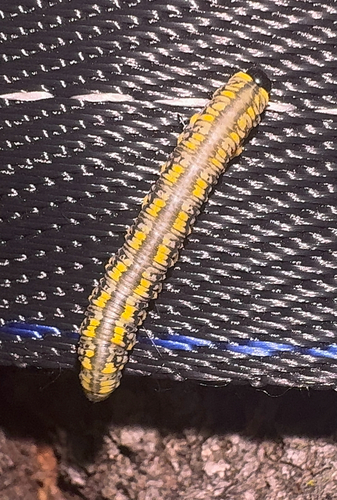
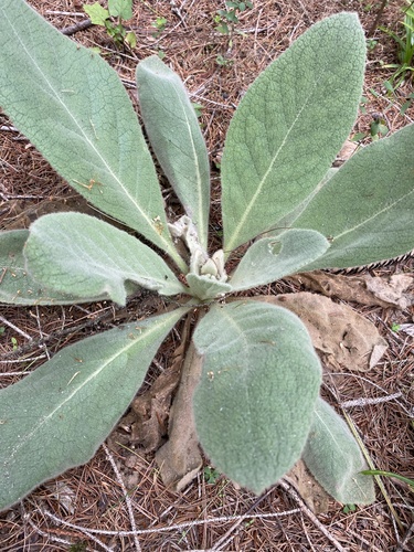
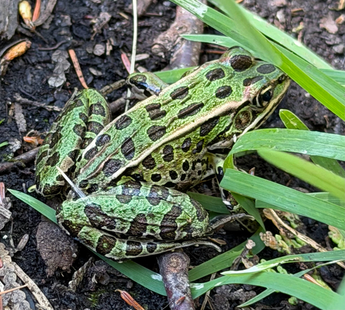
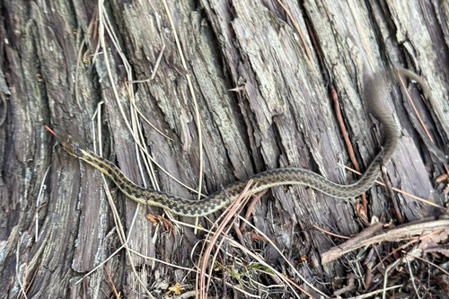
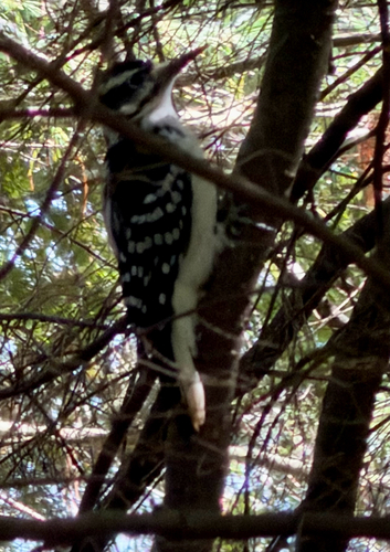
Research-grade observations from iNaturalist (within ~15 mi).
Nearest stream gauge
Events
Gallery
Sources
- • Wikipedia
- • US Census Bureau (ACS 5-year estimates)
- • Wikidata
- • USGS Earthquake Catalog (global feed)
- • GBIF (Global Biodiversity Information Facility)
- • iNaturalist
- • Open-Meteo / sunrise-sunset.org
- • Wikipedia Pageviews API
- • Open Library