Browse / United States / Michigan / Lawrence
Lawrence
Michiganvillage

Lawrence
Total population
942
Median home value
$133,900
Bachelor's+
Median income
$36,058
Demographic figures from US Census Bureau · ACS 5-year estimates. Overview below cites Wikipedia and may reference a different year.
City facts
Facts from Wikidata (CC0).
Overview
The Village of Lawrence is a 2-square-mile village within Lawrence Township, in the center of Van Buren County, Michigan.
Read more on WikipediaHistory & geography
History
Founded in 1835 as "Mason" (in honor of then-popular first Territorial Governor Stevens T. Mason) by speculator/developer John Allen of Ann Arbor. Allen purchased 40 acres at the location of today's Brush Creek and Paw Paw River. He constructed a sawmill there in 1836, and by 1843, it was a small village of 10 homes. Each of the residents' families engaged in various trades: carpentry, farming, livestock trading, and two blacksmiths. During these first 7 years, John Allen renamed the new village "Brush Creek", then sold all his interests to Paw Paw resident John R. Baker. Allen left Michigan, taking his profits to California to try other real estate deals. Mr Baker did not care for the new Brush Creek name, stating, "not to call my bright little village by the ugly name of Brush Creek." He rechristened it Lawrence, following the name of Lawrence Township, which had been previously established in 1835. The Lawrence Township name was derived from James Lawrence, a hero from the War of 1812. The population increased from approximately 70 residents in 1840 to 339 in 1860, and to 555 by 1870. In March 1869, the Village of Lawrence was incorporated under an act of the Legislature, with approval by election of village officers in May 1869, at which 139 men voted.
Excerpted from the corresponding Wikipedia article (CC BY-SA).
Demographics & economy
Race & ethnicity
Source: US Census Bureau — American Community Survey, 5-year estimates.
Geography
Coordinates & boundaries from the US Census TIGER/Line shapefiles.
Climate
Current forecast
Forecast for Lawrence, MI from NOAA NWS API.
Air quality
Industrial & pollution facilities
Natural hazard risk
Health (adults)
Age-adjusted prevalence estimates from CDC PLACES (latest release).
Walkability
Amenities nearby
Wildlife & biodiversity
Schools
Largest nearby schools
- Redwood ElementaryElementary · Hartford · 567 students · 16.7:1 ratio
- Paw Paw Middle SchoolMiddle · PAW PAW · 475 students · 17:1 ratio
- Paw Paw Early Elementary SchoolElementary · PAW PAW · 472 students · 16.3:1 ratio
- Paw Paw Later ElementaryElementary · PAW PAW · 462 students · 17.1:1 ratio
- Decatur Jr Sr High SchoolHigh · DECATUR · 405 students · 21.3:1 ratio
- Hartford High SchoolHigh · HARTFORD · 404 students · 21.3:1 ratio
- Davis Elementary SchoolElementary · DECATUR · 380 students · 15.2:1 ratio
- South Walnut Elementary SchoolElementary · BANGOR · 335 students · 12:1 ratio
Public K–12 schools within ~10 mi from Urban Institute Education Data Portal (NCES Common Core of Data, 2022).
Earthquake history
Photos
Sights & places nearby
Notable people from here
Geography & sun
Elevation, sunrise/sunset and daylight from Open-Meteo. Solar climatology from NASA POWER.
Nearby airports
Public attention
Pageview totals from the Wikimedia Pageviews API.
Books about Lawrence


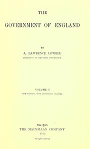

Search results from Open Library.
Recent natural events nearby
Ground air-quality sensors
Recently spotted species
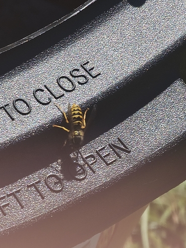
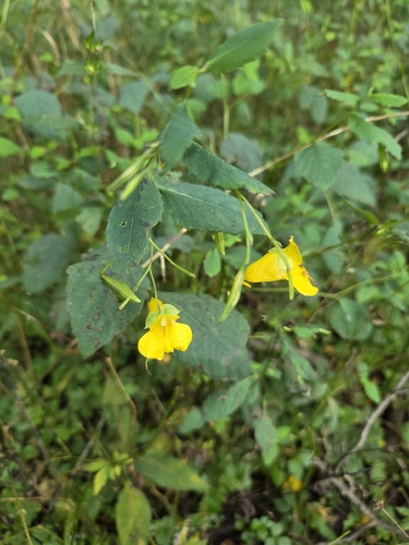
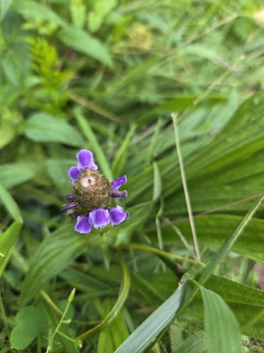
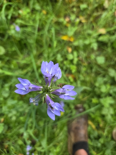
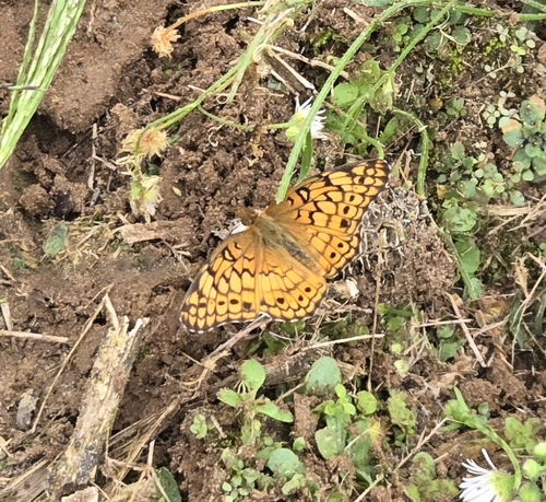
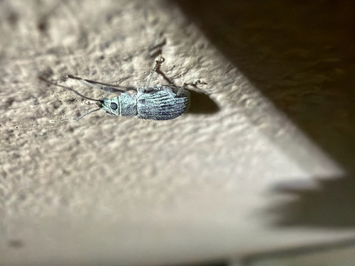
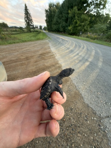
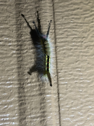
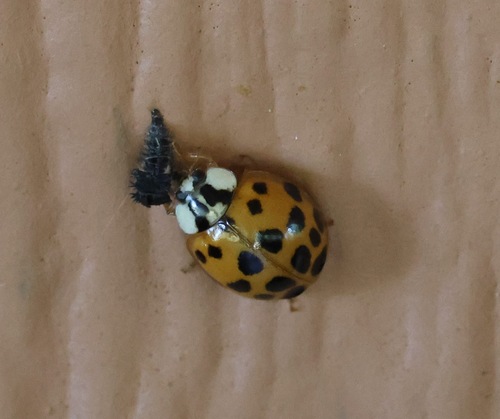
Research-grade observations from iNaturalist (within ~15 mi).
Nearest stream gauge
Live readings from USGS NWIS · measured 2026-09-26 17:30 UTC.
Events
Gallery
Sources
- • Wikipedia
- • US Census Bureau (ACS 5-year estimates)
- • NOAA National Weather Service
- • Wikidata
- • USGS NWIS (water data)
- • NCES via Urban Institute Education Data Portal
- • iNaturalist
- • CDC PLACES
- • Open-Meteo / sunrise-sunset.org
- • Wikipedia Pageviews API
- • Open Library