Browse / United States / Michigan / Nessen City
Nessen City
MichiganCDP

Nessen City
Total population
149
Median home value
$160,400
Bachelor's+
Median income
$62,222
Demographic figures from US Census Bureau · ACS 5-year estimates. Overview below cites Wikipedia and may reference a different year.
City facts
Facts from Wikidata (CC0).
Overview
Nessen City is an unincorporated community and census-designated place in Benzie County in the U.S. state of Michigan. The population was 108 as of 2021. Nessen City is located within Colfax Township, and is located immediately north of the Manistee County line.
Read more on WikipediaHistory & geography
History
Nessen City was established as a station on the newly-constructed Manistee and North-Eastern Railroad in 1889. The same year, the community was platted by John and Edith Nessen. The community of Nessen City was listed as a newly-organized census-designated place for the 2010 census, meaning it now has officially defined boundaries and population statistics for the first time.
Geography
Nessen City is located along the southern border of Colfax Township in southeastern Benzie County. The southern border of the CDP is along the Manistee County line. The center of the community is at the intersection of Lindy Road and Karlin Road (north)/Nessen Road (south). The community is east of the village of Thompsonville and northeast of the village of Copemish. According to the United States Census Bureau, the CDP has a total area of , all land.
Excerpted from the corresponding Wikipedia article (CC BY-SA).
Demographics & economy
Race & ethnicity
Source: US Census Bureau — American Community Survey, 5-year estimates.
Geography
Coordinates & boundaries from the US Census TIGER/Line shapefiles.
Climate
Current forecast
Forecast for Nessen City, MI from NOAA NWS API.
Air quality
Industrial & pollution facilities
Natural hazard risk
Health (adults)
Age-adjusted prevalence estimates from CDC PLACES (latest release).
Walkability
Amenities nearby
Wildlife & biodiversity
Most-observed species
- Black-capped ChickadeePoecile atricapillus (Linnaeus, 1766) · Aves3,410
- Blue JayCyanocitta cristata (Linnaeus, 1758) · Aves2,737
- American CrowCorvus brachyrhynchos C.L.Brehm, 1822 · Aves2,720
- American GoldfinchSpinus tristis (Linnaeus, 1758) · Aves2,347
- Mourning DoveZenaida macroura (Linnaeus, 1758) · Aves2,306
- American RobinTurdus migratorius Linnaeus, 1766 · Aves2,147
- Tufted TitmouseBaeolophus bicolor (Linnaeus, 1766) · Aves1,974
- Northern CardinalCardinalis cardinalis (Linnaeus, 1758) · Aves1,760
Citizen-science & research observations from the Global Biodiversity Information Facility (GBIF).
Schools
Earthquake history
Most recent
- M 2.9 — 2024-08-0238 km ESE of Sturgeon Bay, Wisconsin
Events from the USGS Earthquake Catalog (global) (FDSN Event Web Service).
Photos
Sights & places nearby
Notable people from here
Nearby places in Michigan
Geography & sun
Elevation, sunrise/sunset and daylight from Open-Meteo. Solar climatology from NASA POWER.
Nearby airports
Public attention
Pageview totals from the Wikimedia Pageviews API.
Books about this place
Recent natural events nearby
Ground air-quality sensors
Recently spotted species
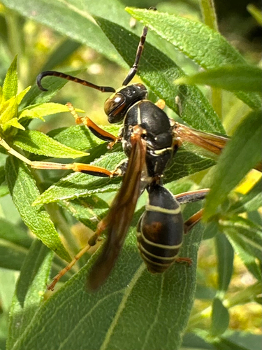
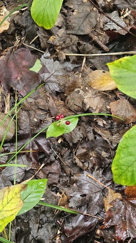
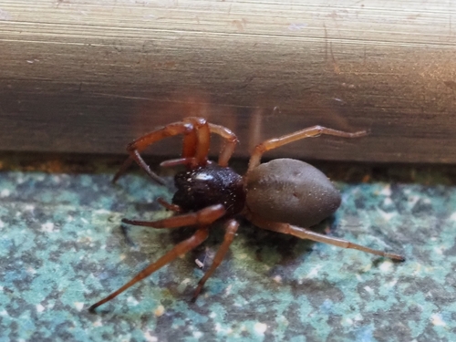
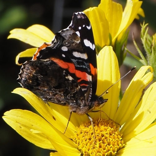
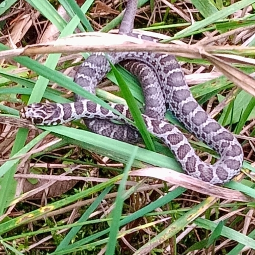
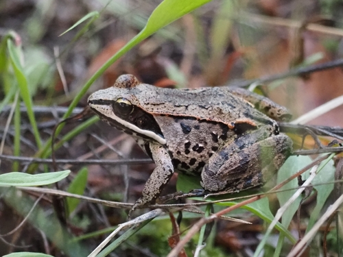
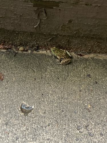
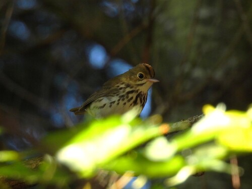
Research-grade observations from iNaturalist (within ~15 mi).
Nearest stream gauge
Events
Gallery
Sources
- • Wikipedia
- • US Census Bureau (ACS 5-year estimates)
- • NOAA National Weather Service
- • Wikidata
- • USGS Earthquake Catalog (global feed)
- • GBIF (Global Biodiversity Information Facility)
- • iNaturalist
- • CDC PLACES
- • Open-Meteo / sunrise-sunset.org
- • Wikipedia Pageviews API