Browse / United States / Michigan / Tower
Tower
MichiganCDP

Tower
Total population
275
Median home value
$94,800
Bachelor's+
Median income
$56,250
Demographic figures from US Census Bureau · ACS 5-year estimates. Overview below cites Wikipedia and may reference a different year.
City facts
Overview
Tower is an unincorporated community and census-designated place (CDP) in Cheboygan County in the U.S. state of Michigan. The population of the CDP was 248 at the 2020 census. It is located along the concurrency of M-33 and M-68 within Forest Township.
Read more on WikipediaHistory & geography
History
This area of Forest Township was first settled as early as 1899 when the Detroit and Mackinac Railway built a rail line through the area on its route from Bay City to Cheboygan. A small lumber settlement began to grow along the Black River, and a post office first opened on April 18, 1899. James A. Kelley served as the first postmaster, and the community adopted the name Tower. The name was chosen in honor of Ellen May Tower, who was the daughter of Civil War veteran and current resident Judge Samuel S. Tower. Originally from Byron, Ellen served as a nurse in the Spanish–American War. While serving in Puerto Rico, which at the time was controlled by Spain, she died of acute pericarditis from typhoid fever. At the age of 30, she died on December 9, 1898—one day before the signing of the Treaty of Paris, which officially ended the war. As such, she became the first American servicewoman to die during a war on foreign soil. She was also the first Michigan woman to be given full military honors at her funeral, which was attended by thousands of mourners in Byron. The new community of Tower was quickly platted on May 20, 1899. The community became a prominent source of lumber and benefited greatly from the new railroad and its location along the Black River, where lumber could easily be floated to nearby sawmills. By 1901, Tower contained two sawmills and recorded a population of around 300. The Detroit and Mackinac Railway built its first train depot here in 1902, and this allowed the community to grow substantially. The community first appeared in a 1902 map of Forest Township. During the decade, Tower grew to include numerous businesses, including hotels, laundry facilities, banks, markets, factories, and a fire department with a horse-drawn fire truck. From 1905 to…
Geography
==Geography== Tower is a rural community in Cheboygan County in Northern Michigan. The community is located in the northern portion of Forest Township just south of the boundary with Waverly Township. Tower sits at an elevation of above sea level. Kleber Pond is located north of the community and has a much larger size of . Both reservoirs are popular areas for fishing, and a small boat launch is located in the park next to the township hall to provide access to Tower Pond. Bowen Creek is a small tributary that drains into the Black River in the eastern portion of the community. The large Black Lake is located about to the north. Portions of the surrounding forest lands are part of the Gaylord Unit of the Mackinaw State Forest. The North Eastern State Trail is a rail trail that passes through Tower and has a trailhead in the northern portion of the community near the Tower Dam. The mixed-use trail runs for from Alpena to Cheboygan. The Forest Township Hall is located in the center of the community at 9511 M-33/68 Highway. The Forest–Waverly Fire Department is located right next to the township hall, and the volunteer fire department serves both Forest Township and Waverly Township. The community of Tower is served by Onaway Area Community School District to the east in Allis Township. Tower no longer has its own physical post office building and is now served primarily by the Onaway 49765 ZIP Code.
Excerpted from the corresponding Wikipedia article (CC BY-SA).
Demographics & economy
Race & ethnicity
Source: US Census Bureau — American Community Survey, 5-year estimates.
Geography
Coordinates & boundaries from the US Census TIGER/Line shapefiles.
Climate
Air quality
Industrial & pollution facilities
Natural hazard risk
Health (adults)
Age-adjusted prevalence estimates from CDC PLACES (latest release).
Walkability
Amenities nearby
Wildlife & biodiversity
Schools
Earthquake history
Photos
Sights & places nearby
Notable people from here
Nearby places in Michigan
Geography & sun
Elevation, sunrise/sunset and daylight from Open-Meteo. Solar climatology from NASA POWER.
Nearby airports
Public attention
Pageview totals from the Wikimedia Pageviews API.
Books about Tower




Search results from Open Library.
Recent natural events nearby
Ground air-quality sensors
Recently spotted species
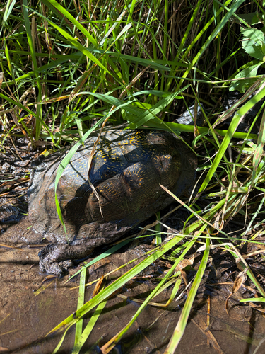
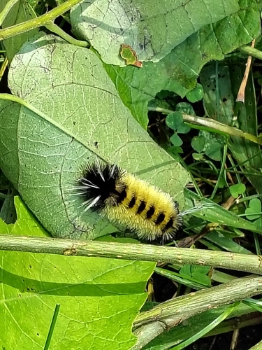
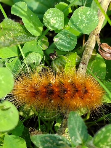

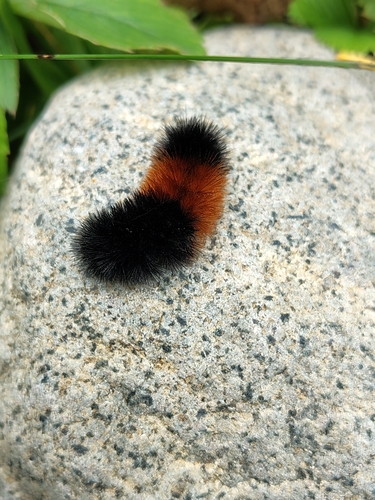

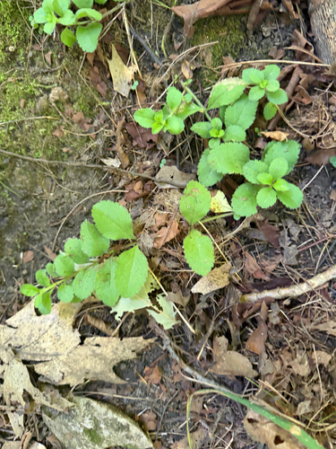
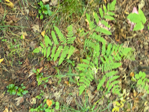
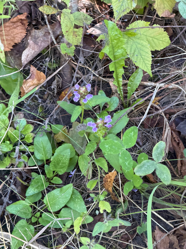
Research-grade observations from iNaturalist (within ~15 mi).
Nearest stream gauge
Events
Gallery
Sources
- • Wikipedia
- • US Census Bureau (ACS 5-year estimates)
- • iNaturalist
- • CDC PLACES
- • Open-Meteo / sunrise-sunset.org
- • Wikipedia Pageviews API
- • Open Library