Browse / Mali / Mali / Cité des Cadres
Cité des Cadres
Malitown
Total population
1,000
Air quality index
Demographic figures from INSTAT Mali. Overview below cites Wikipedia and may reference a different year.
City facts
Overview
Found in Mali, Cité des Cadres is classified as a small town in public datasets. It is home to roughly 1,000 residents. On the world map it falls within the Western Hemisphere, specifically at 13.223°, -10.468°. Open solar datasets indicate about 2,132 kWh/m² of solar irradiance per year, combined with sunshine for roughly 83% of daylight hours. Long-term weather observations show average highs near 94.4°F and lows near 75.2°F with about 33.7 in of annual precipitation (a moderate total). Its latitude implies a climate characterised by warm temperatures throughout the year with pronounced wet and dry seasons. The remainder of this page draws on open public data to describe the area's demographics, climate, environment and nearby amenities.
Summary composed automatically from structured open data on this page. See our Terms for details.
History & geography
Geography
Coordinates & boundaries from the US Census TIGER/Line shapefiles.
Climate
10-year averages from ERA5 reanalysis (Open-Meteo).
Air quality
Current readings from Open-Meteo Air Quality API (Copernicus CAMS European reanalysis).
Walkability
Amenities nearby
Wildlife & biodiversity
Earthquake history
Events from the USGS Earthquake Catalog (global) (FDSN Event Web Service).
Photos
Sights & places nearby
Notable people from here
Nearby places in Mali
- Riqab3608 mi away · pop. 567
- Annah3649.3 mi away · pop. 1,188
- Ahayin3650.1 mi away · pop. 1,496
- `Uqaqah3651.1 mi away · pop. 3,442
- Darin3662.2 mi away · pop. 542
- Manwar3662.8 mi away · pop. 653
- Hazarah3662.8 mi away
- Rawban3667.4 mi away · pop. 308
- Jum`ah3670.1 mi away · pop. 264
- Sharih3686.5 mi away · pop. 1,272
- Baghdad3700.9 mi away · pop. 7,216,040
- Laqah3701.3 mi away · pop. 205
Geography & sun
Elevation, sunrise/sunset and daylight from Open-Meteo. Solar climatology from NASA POWER.
Nearby airports
Public attention
Books about this place
Recent natural events nearby
Ground air-quality sensors
Recently spotted species

Research-grade observations from iNaturalist (within ~15 mi).
Events
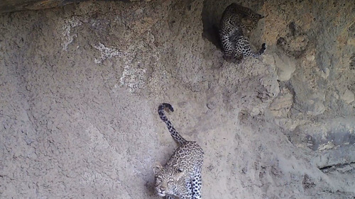
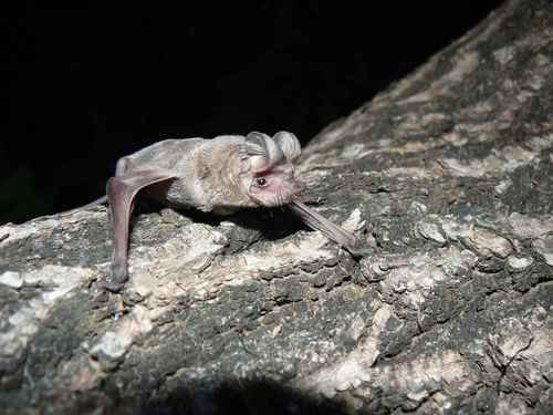
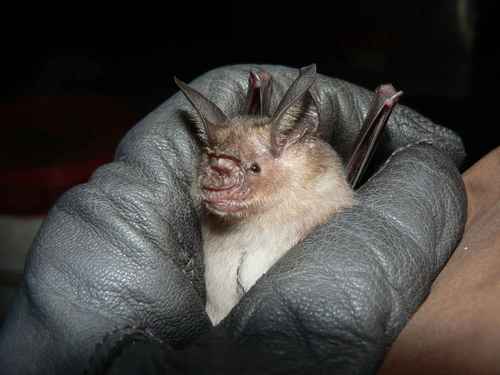
Gallery
Geotagged photos within ~6 miles of Cité des Cadres, from Wikimedia Commons contributors.


Photos via Wikimedia Commons — see each image page for license & attribution.
Sources
- • Open-Meteo (ERA5 reanalysis)
- • Wikimedia Commons
- • Wikidata
- • Open-Meteo Air Quality (CAMS)
- • USGS Earthquake Catalog (global feed)
- • GBIF (Global Biodiversity Information Facility)
- • iNaturalist
- • Open-Meteo / sunrise-sunset.org