Digani
Malivillage
Air quality index
Demographic figures from INSTAT Mali. Overview below cites Wikipedia and may reference a different year.
City facts
Overview
Situated in Mali, Digani is a village. Detailed population figures are not currently catalogued in the open data sources we track. Digani maps to 13.500°, -6.314° — squarely within the tropical belt. The location receives about 2,176 kWh/m² of solar irradiance per year and sunshine for roughly 85% of daylight hours. The latitude suggests warm temperatures throughout the year with pronounced wet and dry seasons. Additional figures on demographics, climate, geography and points of interest appear in the sections that follow, all drawn from open public datasets.
Summary composed automatically from structured open data on this page. See our Terms for details.
History & geography
Geography
Coordinates & boundaries from the US Census TIGER/Line shapefiles.
Climate
Air quality
Current readings from Open-Meteo Air Quality API (Copernicus CAMS European reanalysis).
Walkability
Amenities nearby
Wildlife & biodiversity
Most-observed species
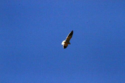
- Black-shouldered KiteElanus caeruleus (Desfontaines, 1789) · Aves2
- Pied CrowCorvus albus Statius Muller, 1776 · Aves2
- Phyllogomphus pseudoccidentalis Lindley, 1972Phyllogomphus pseudoccidentalis Lindley, 1972 · Insecta1
- Scarlet DragonflyCrocothemis erythraea (Brullé, 1832) · Insecta1
- Black PercherDiplacodes lefebvrii (Rambur, 1842) · Insecta1
- Sphingonotus canariensis Saussure, 1884Sphingonotus canariensis Saussure, 1884 · Insecta1
- Sky-blue cupidChilades eleusis (Demaison, 1888) · Insecta1
- African Grass BlueZizeeria knysna (Trimen, 1862) · Insecta1
Citizen-science & research observations from the Global Biodiversity Information Facility (GBIF).
Earthquake history
Events from the USGS Earthquake Catalog (global) (FDSN Event Web Service).
Photos
Sights & places nearby
Notable people from here


People born within ~10 km, from Wikidata (CC0). Click any name for their Wikipedia article.
Nearby places in Mali
Geography & sun
Elevation, sunrise/sunset and daylight from Open-Meteo. Solar climatology from NASA POWER.
Nearby airports
Public attention
Books about this place
Recent natural events nearby
Ground air-quality sensors
Recently spotted species
Research-grade observations from iNaturalist (within ~15 mi).
Events
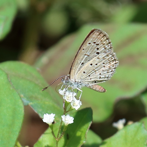
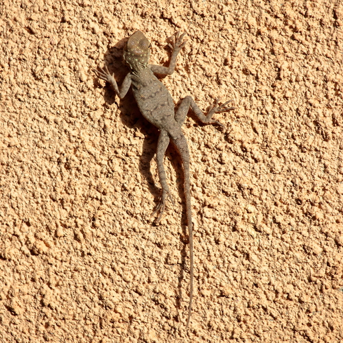
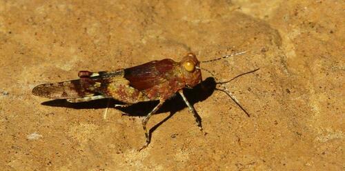
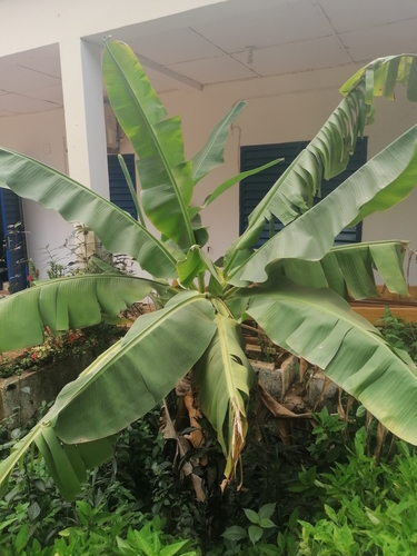
Gallery
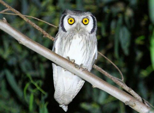
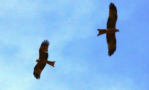
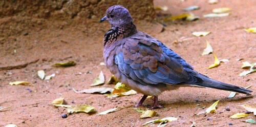
Geotagged photos within ~6 miles of Digani, from Wikimedia Commons contributors.


.jpg)

.jpg)
_(2).jpg)
Photos via Wikimedia Commons — see each image page for license & attribution.
Sources
- • Wikimedia Commons
- • Wikidata
- • Open-Meteo Air Quality (CAMS)
- • USGS Earthquake Catalog (global feed)
- • GBIF (Global Biodiversity Information Facility)
- • iNaturalist
- • Open-Meteo / sunrise-sunset.org