Browse / Myanmar / Kachin / Gu Sum
Gu Sum
Kachinvillage
Demographic figures from Central Statistical Organization (Myanmar). Overview below cites Wikipedia and may reference a different year.
City facts
Overview
Situated in Kachin, Myanmar, Gu Sum is a village. Detailed population figures are not currently catalogued in the open data sources we track. Located at 25.398°, 98.005°, Gu Sum occupies a subtropical portion of the northern hemisphere. The location receives about 1,540 kWh/m² of solar irradiance per year and sunshine for roughly 60% of daylight hours. The latitude suggests hot summers and mild winters typical of the subtropics. The remainder of this page draws on open public data to describe the area's demographics, climate, environment and nearby amenities.
Summary composed automatically from structured open data on this page. See our Terms for details.
History & geography
Geography
Coordinates & boundaries from the US Census TIGER/Line shapefiles.
Climate
Air quality
Walkability
Amenities nearby
Wildlife & biodiversity
Most-observed species
- Large NiltavaNiltava grandis (Blyth, 1842) · Aves3
- Davison's Leaf WarblerPhylloscopus intensior Deignan, 1956 · Aves2
- Green-tailed SunbirdAethopyga nipalensis (Hodgson, 1836) · Aves2
- Buff-barred WarblerPhylloscopus pulcher Blyth, 1845 · Aves2
- Yellow-browed WarblerPhylloscopus inornatus (Blyth, 1842) · Aves2
- Streak-throated BarwingActinodura waldeni Godwin-Austen, 1874 · Aves2
- Rufous-vented YuhinaYuhina occipitalis Hodgson, 1836 · Aves2
- Stripe-throated YuhinaYuhina gularis Hodgson, 1836 · Aves2
Citizen-science & research observations from the Global Biodiversity Information Facility (GBIF).
Earthquake history
Most recent
- M 4.4 — 2026-03-3128 km WSW of Taiping, China
- M 4.3 — 2026-02-2522 km N of Yingjiang, China
- M 4.4 — 2025-12-2517 km NW of Yingjiang, China
- M 4.6 — 2025-05-1623 km WNW of Zhonghe, China
- M 4.4 — 2024-10-1437 km NW of Yingjiang, China
- M 4 — 2023-09-0927 km NE of Yingjiang, China
Events from the USGS Earthquake Catalog (global) (FDSN Event Web Service).
Photos
Sights & places nearby
Notable people from here
Nearby places in Kachin
Geography & sun
Elevation, sunrise/sunset and daylight from Open-Meteo. Solar climatology from NASA POWER.
Nearby airports
Public attention
Books about this place
Recent natural events nearby
Ground air-quality sensors
Recently spotted species
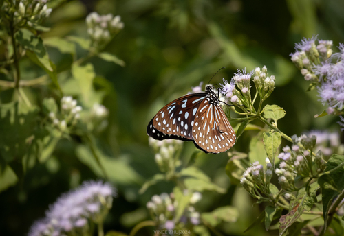
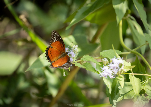
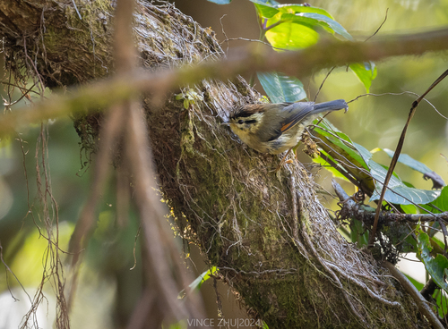
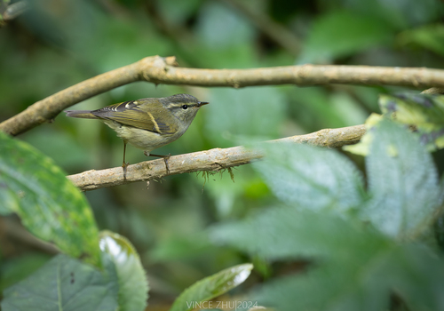
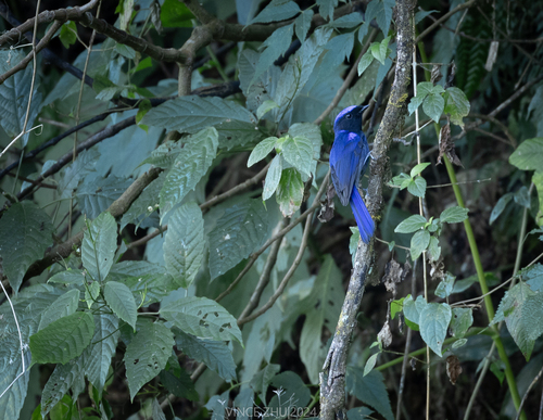
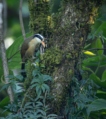

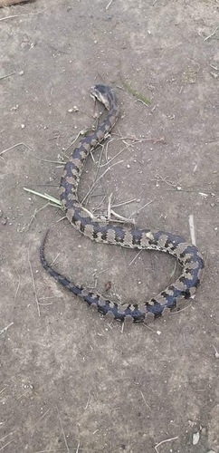
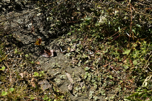
Research-grade observations from iNaturalist (within ~15 mi).
Events
Gallery
Sources
- • Wikidata
- • USGS Earthquake Catalog (global feed)
- • GBIF (Global Biodiversity Information Facility)
- • iNaturalist
- • Open-Meteo / sunrise-sunset.org