Browse / Myanmar / Shan / Long Kar (Shan)
Long Kar (Shan)
Shanvillage
Demographic figures from Central Statistical Organization (Myanmar). Overview below cites Wikipedia and may reference a different year.
City facts
Overview
Long Kar (Shan), a village in Shan, Myanmar, forms part of the country's settled landscape. Detailed population figures are not currently catalogued in the open data sources we track. Its coordinates of 19.880°, 96.996° place it in the tropical zone of the northern hemisphere. Its latitude implies a climate characterised by warm temperatures throughout the year with pronounced wet and dry seasons. Further detail — demographics, climate, nearby amenities and natural-hazard data — is compiled below from public open-data sources.
Summary composed automatically from structured open data on this page. See our Terms for details.
History & geography
Geography
Coordinates & boundaries from the US Census TIGER/Line shapefiles.
Climate
Air quality
Walkability
Amenities nearby
Wildlife & biodiversity
Most-observed species
- Oriental Magpie-RobinCopsychus saularis (Linnaeus, 1758) · Aves3
- Variable agamaCalotes versicolor (Daudin, 1802) · Squamata3
- Giant Honey BeeApis dorsata Fabricius, 1793 · Insecta2
- Honey BeeApis cerana Fabricius, 1793 · Insecta2
- Blue MoonHypolimnas bolina (Linnaeus, 1758) · Insecta2
- Common CastorAriadne merione (Cramer, 1779) · Insecta2
- Jorō spiderTrichonephila clavata (L.Koch, 1878) · Arachnida1
- Siamese Blue Crested LizardCalotes goetzi Wagner, Ihlow, Hartmann, Flecks, Schmitz & Böhme, 2021 · Squamata1
Citizen-science & research observations from the Global Biodiversity Information Facility (GBIF).
Earthquake history
Most recent
- M 4 — 2026-06-1480 km N of Mae Hong Son, Thailand
- M 4.2 — 2026-03-234 km NE of Pyinmana, Burma (Myanmar)
- M 4.4 — 2025-09-2819 km NNE of Taungoo, Burma (Myanmar)
- M 4.5 — 2025-08-0722 km SSE of Yamethin, Burma (Myanmar)
- M 4.2 — 2025-05-3011 km N of Nyaungshwe, Burma (Myanmar)
- M 4.4 — 2025-04-1126 km N of Nay Pyi Taw, Burma (Myanmar)
Events from the USGS Earthquake Catalog (global) (FDSN Event Web Service).
Photos
Sights & places nearby
Notable people from here
Geography & sun
Nearby airports
Public attention
Books about this place
Recent natural events nearby
Ground air-quality sensors
Recently spotted species
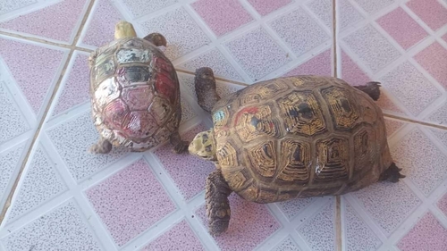
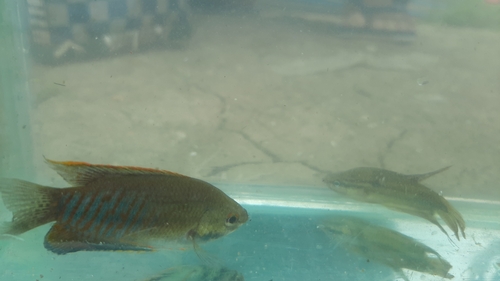
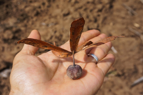
Research-grade observations from iNaturalist (within ~15 mi).
Events
Gallery
Sources
- • Wikidata
- • USGS Earthquake Catalog (global feed)
- • GBIF (Global Biodiversity Information Facility)
- • iNaturalist