Browse / Myanmar / Shan / Tangyan
Tangyan
Shancity

Featured view
Tangyan
Coordinates22.49°, 98.39°
Demographic figures from Central Statistical Organization (Myanmar). Overview below cites Wikipedia and may reference a different year.
Loading additional data from public sources…0 / 11
CensusWikipediaWeatherPlacesPeopleEnvironmentHealth & SchoolsRelatedGeography & CultureLive MonitoringEvents & Gallery
0% completeCity facts
Overview
Tangyan is capital of Tangyan District and the principal city of Tangyan Township in Shan State, Myanmar. It is situated in a valley in a mountainous region. It lies at an elevation of 946 m.
Read more on WikipediaHistory & geography
Geography
Latitude
22.4937
Longitude
98.3948
Water area
—
Coordinates & boundaries from the US Census TIGER/Line shapefiles.
Climate
Air quality
Walkability
Amenities nearby
Wildlife & biodiversity
Earthquake history
Photos
Sights & places nearby
Notable people from here

People born within ~10 km, from Wikidata (CC0). Click any name for their Wikipedia article.
Geography & sun
Nearby airports
Public attention
Books about this place
Recent natural events nearby
Ground air-quality sensors
Recently spotted species
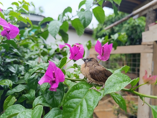
Scaly-breasted Munia (Malay)
Lonchura punctulata fretensis
Seen 2025-07-30

Common Hoopoe
Upupa epops
Seen 2025-07-30
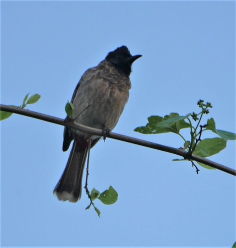
Red-vented Bulbul
Pycnonotus cafer
Seen 2025-07-16
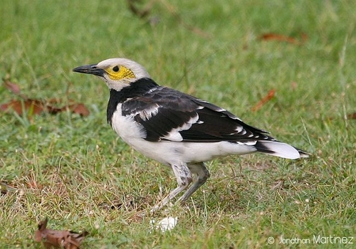
Black-collared Starling
Gracupica nigricollis
Seen 2025-07-16
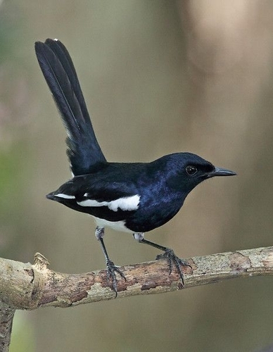
Oriental Magpie-Robin
Copsychus saularis
Seen 2025-06-26

Red-whiskered Bulbul
Pycnonotus jocosus
Seen 2025-06-26
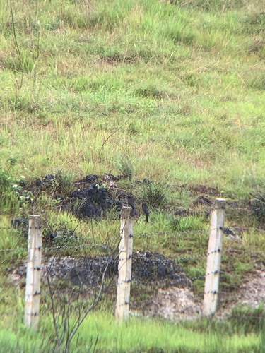
Black Drongo
Dicrurus macrocercus
Seen 2024-06-18

Purple Sapphire
Heliophorus epicles
Seen 2023-06-01

Common Ciliate Blue
Anthene emolus
Seen 2023-06-01
Research-grade observations from iNaturalist (within ~15 mi).
Events
Gallery
Sources
- • Wikipedia
- • Wikidata
- • iNaturalist