Browse / Myanmar / Tanintharyi / Yebyu
Yebyu
Tanintharyitown
No image yet
Coordinates14.25°, 98.20°
Demographic figures from Central Statistical Organization (Myanmar). Overview below cites Wikipedia and may reference a different year.
Loading additional data from public sources…0 / 11
CensusWikipediaWeatherPlacesPeopleEnvironmentHealth & SchoolsRelatedGeography & CultureLive MonitoringEvents & Gallery
0% completeCity facts
Overview
Yebyu is a town in the Taninthayi Division, in the southernmost part of Myanmar.
Read more on WikipediaHistory & geography
Geography
Latitude
14.2452
Longitude
98.2020
Water area
—
Coordinates & boundaries from the US Census TIGER/Line shapefiles.
Climate
Air quality
Walkability
Amenities nearby
Wildlife & biodiversity
Earthquake history
Photos
Sights & places nearby
Notable people from here
Nearby places in Tanintharyi
- Kemondo4672.3 mi away
- Muleba4685.4 mi away
- Kayanga4712.9 mi away · pop. 16,590
- Bugene4714.7 mi away
- Biharamulo4723.6 mi away
- Ngara Mjini4764.7 mi away
- Rulenge4770.2 mi away · pop. 11,444
- Izvor4817.1 mi away
- Bolfan5109.4 mi away · pop. 362
- Čukovec5110.1 mi away · pop. 263
- Selnik5112.3 mi away · pop. 761
- Sveti Đurđ5112.5 mi away · pop. 652
Geography & sun
Avg solar (kWh/m²/day)
4.7
Annual solar (kWh/m²)
1,716
Elevation, sunrise/sunset and daylight from Open-Meteo. Solar climatology from NASA POWER.
Nearby airports
Public attention
Wikipedia views (last 30 days)
34
Avg daily Wikipedia views
1
Attention level
Obscure
Pageview totals from the Wikimedia Pageviews API.
Books about this place
Recent natural events nearby
Ground air-quality sensors
Recently spotted species
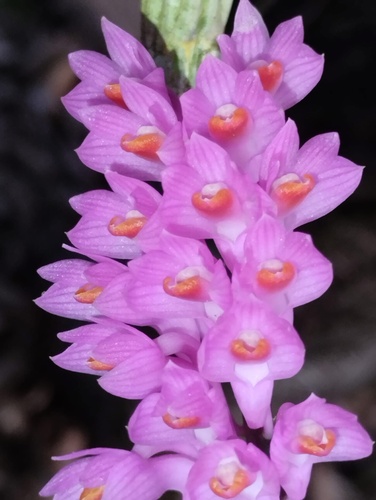
Toothbrush orchid
Dendrobium secundum
Seen 2024-08-09
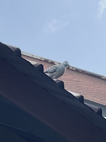
Zebra Dove
Geopelia striata
Seen 2023-12-02
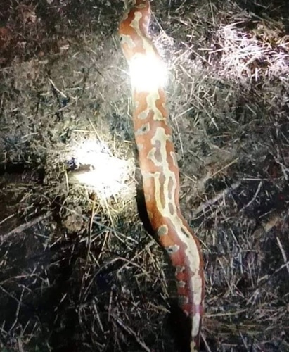
Malaysian Blood Python
Python brongersmai
Seen 2022-11-07
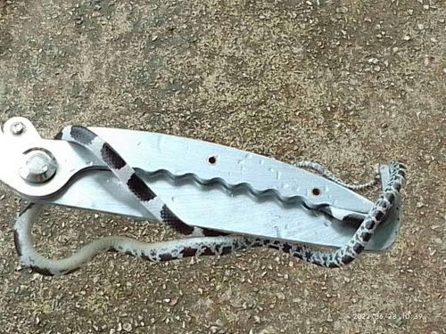
Blanford's Bridle Snake
Lycodon davisonii
Seen 2022-06-29
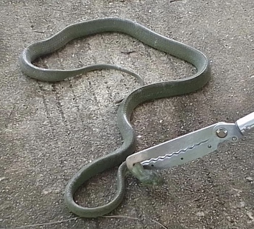
Green Cat Snake
Boiga cyanea
Seen 2022-06-01
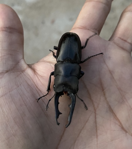
Prosopocoilus buddha
Prosopocoilus buddha
Seen 2022-04-26
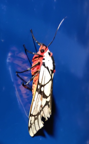
milky tiger moth
Areas galactina
Seen 2020-05-12
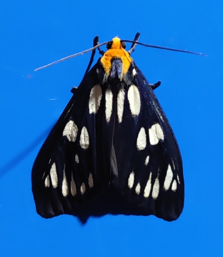
Macrobrochis gigas
Macrobrochis gigas
Seen 2020-05-03
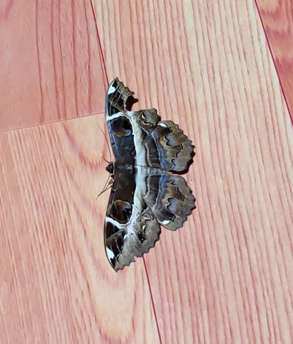
Erebus ephesperis
Erebus ephesperis
Seen 2020-04-14
Research-grade observations from iNaturalist (within ~15 mi).
Events
Gallery
Sources
- • Wikipedia
- • Wikidata
- • iNaturalist
- • Open-Meteo / sunrise-sunset.org
- • Wikipedia Pageviews API