Browse / United States / Minnesota / Albert Lea
Albert Lea
Minnesotacity

Albert Lea
Total population
18,330
Median home value
$157,500
Bachelor's+
Median income
$64,603
Founded
1855
Demographic figures from US Census Bureau · ACS 5-year estimates. Overview below cites Wikipedia and may reference a different year.
City facts
Facts from Wikidata (CC0).
Overview
Albert Lea is a city in Freeborn County, in southern Minnesota. It is the county seat. Its population was 18,492 at the 2020 census. The city is at the junction of Interstates 35 and 90, about 90 miles (140 km) south of the Twin Cities. It is on the shores of Fountain Lake, Pickerel Lake, Albert Lea Lake, Goose Lake, School Lake, and Lake Chapeau. Fountain Lake and Albert Lea Lake are part of the Shell Rock River flowage.
Read more on WikipediaHistory & geography
History
The city is named after Albert Lea Lake, which was named after Albert Miller Lea, a topographer from Tennessee with the United States Dragoons, who surveyed southern Minnesota and northern Iowa in 1835, including the current site of Albert Lea. Captain Nathan Boone, a son of Daniel Boone, was the scout for Lea's Dragoon unit. Lea later served the Southern rebellion as an engineering officer in the Confederate States Army during the American Civil War.
Geography
According to the United States Census Bureau, the city has an area of , of which is land and is water. Myre-Big Island State Park is nearby. There are three main lakes in Albert Lea: Fountain Lake, Pickerel Lake and Albert Lea Lake. Albert Lea has a humid continental climate of the hot-summer subtype (Köppen Dfa). Albert Lea varies from cold winters to hot summers, with significant contrasts between seasons. Its climate type is typical for inland northern United States locations, but due to its southern position in the state, its summers and winters have higher temperatures than other, more northerly regions of the state. An exception to this rule is the urban core of Minneapolis - St. Paul, which sees higher temperatures typical of an urban heat island, but Albert Lea is significantly warmer than locations such as Duluth.
Excerpted from the corresponding Wikipedia article (CC BY-SA).
Demographics & economy
Race & ethnicity
Source: US Census Bureau — American Community Survey, 5-year estimates.
Geography
Coordinates & boundaries from the US Census TIGER/Line shapefiles.
Climate
Current forecast
Forecast for Albert Lea, MN from NOAA NWS API.
Air quality
Industrial & pollution facilities
Natural hazard risk
Health (adults)
Walkability
Amenities nearby
Wildlife & biodiversity
Schools
Earthquake history
Photos
Sights & places nearby
Notable people from here


People born within ~10 km, from Wikidata (CC0). Click any name for their Wikipedia article.
Nearby places in Minnesota
Geography & sun
Elevation, sunrise/sunset and daylight from Open-Meteo. Solar climatology from NASA POWER.
Nearby airports
Public attention
Pageview totals from the Wikimedia Pageviews API.
Books about Albert Lea


Search results from Open Library.
Recent natural events nearby
Ground air-quality sensors
Recently spotted species
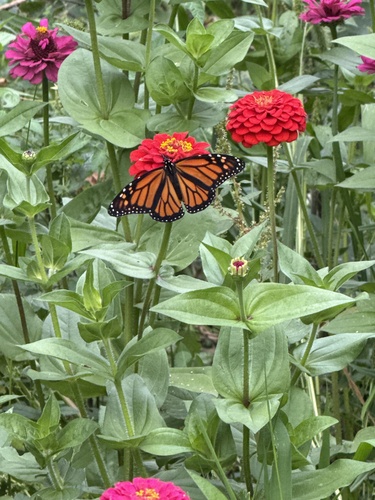
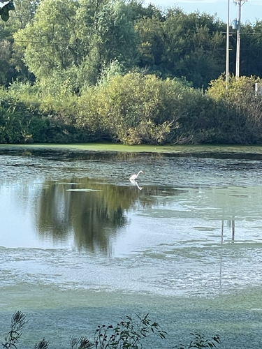

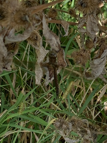
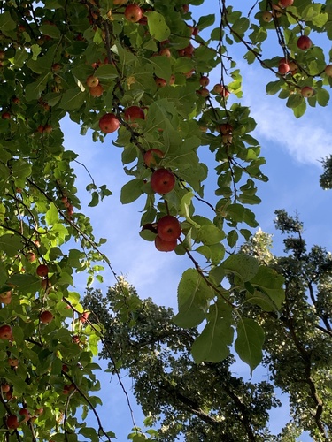
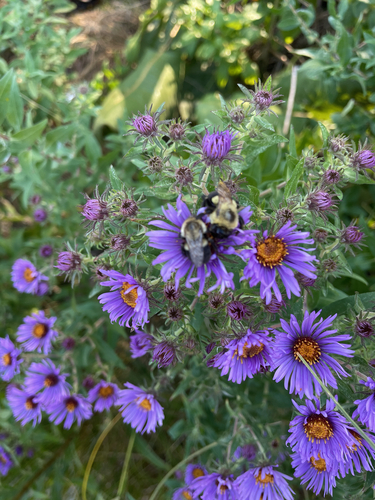


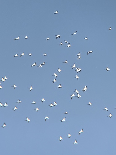
Research-grade observations from iNaturalist (within ~15 mi).
Nearest stream gauge
Events
Gallery
Sources
- • Wikipedia
- • US Census Bureau (ACS 5-year estimates)
- • NOAA National Weather Service
- • Wikidata
- • iNaturalist
- • Open-Meteo / sunrise-sunset.org
- • Wikipedia Pageviews API
- • Open Library