Browse / United States / Minnesota / Anoka
Anoka
Minnesotacity

Anoka
Total population
17,970
Median home value
$308,700
Bachelor's+
Median income
$75,948
Founded
1844
Air quality index
Demographic figures from US Census Bureau · ACS 5-year estimates. Overview below cites Wikipedia and may reference a different year.
- Extreme Heat Watch · SevereExtreme Heat Watch issued June 27 at 12:13PM CDT until June 29 at 8:00PM CDT by NWS Twin Cities/Chanhassen MN
Source: NOAA National Weather Service.
City facts
Sister cities
Facts from Wikidata (CC0).
Overview
Anoka is a city in and the county seat of Anoka County, Minnesota, United States. The population was 17,921 at the 2020 census. Anoka is a northern suburb of the Twin Cities, at the confluence of the Rum and Mississippi Rivers. It is nicknamed the "Halloween Capital of the World" because in 1920 it hosted one of the first Halloween parades. It continues to celebrate the holiday each year with several parades. U.S. Highways 10 / 169 and State Highway 47 are three of Anoka's main routes, and it had a station on the Northstar Line to Minneapolis.
Read more on WikipediaHistory & geography
History
Colonists first settled the site that is now Anoka in 1844. By the mid-1850s, Anoka had a school, a store and a flour mill. In 1856, C. C. Andrews called it a "large and handsome village" and noted that pine logs were floated down the Rum River to sawmills there. The city was formally incorporated in 1878. The name Anoka may derive from two Indian words. Santee Dakota used anoka, meaning "on both sides" or "from both sides", referring to its location on both banks of the Rum River. Ojibwe used , meaning "I work", referring to the town's busy local lumber sites. Anoka has a strong claim to having provided the first Union Army volunteers during the Civil War, as noted by a small plaque at the corner of West Main Street and Park Street. Alexander Ramsey, Minnesota's governor in 1861, was in Washington, D.C., when Fort Sumter was fired upon. He immediately offered a regiment to the War Department and telegraphed former governor Willis Arnold Gorman and Lieutenant Governor Ignatius L. Donnelly. Gorman, attending a district court session in Anoka, received the note by messenger from Saint Paul and called a court recess, asking for volunteers. Aaron Greenwald, who has an "island" named after him on Lake George, and five others stepped forward; Greenwald was the first to sign. He died on July 5, 1863, after sustaining a mortal wound as a member of the 1st Minnesota Infantry in defense against Pickett's Charge at the Battle of Gettysburg.
Geography
Anoka lies at the confluence of the Rum and Mississippi Rivers, about 20 miles (30 km) northwest of Minneapolis. According to the United States Census Bureau, it has an area of , of which is land and is water. Adjacent communities include Dayton, Ramsey, Andover, Coon Rapids, and Champlin.
Excerpted from the corresponding Wikipedia article (CC BY-SA).
Demographics & economy
Race & ethnicity
Source: US Census Bureau — American Community Survey, 5-year estimates.
Geography
Coordinates & boundaries from the US Census TIGER/Line shapefiles.
Climate
Current forecast
Forecast for Anoka, MN from NOAA NWS API.
Air quality
Current readings from Open-Meteo Air Quality API (Copernicus CAMS European reanalysis).
Industrial & pollution facilities
Natural hazard risk
Health (adults)
Age-adjusted prevalence estimates from CDC PLACES (latest release).
Walkability
Amenities nearby
Wildlife & biodiversity
Most-observed species
- Black-capped ChickadeePoecile atricapillus (Linnaeus, 1766) · Aves20,121
- Northern CardinalCardinalis cardinalis (Linnaeus, 1758) · Aves16,083
- Blue JayCyanocitta cristata (Linnaeus, 1758) · Aves16,027
- American CrowCorvus brachyrhynchos C.L.Brehm, 1822 · Aves15,241
- American GoldfinchSpinus tristis (Linnaeus, 1758) · Aves14,988
- Downy WoodpeckerDryobates pubescens (Linnaeus, 1766) · Aves14,210
- American RobinTurdus migratorius Linnaeus, 1766 · Aves14,088
- MallardAnas platyrhynchos Linnaeus, 1758 · Aves13,278
Citizen-science & research observations from the Global Biodiversity Information Facility (GBIF).
Schools
Largest nearby schools
- Blaine High SchoolHigh · BLAINE · 2,969 students · 20.8:1 ratio
- Anoka High SchoolHigh · ANOKA · 2,322 students · 18.4:1 ratio
- Coon Rapids High SchoolHigh · COON RAPIDS · 2,167 students · 17.9:1 ratio
- Andover High SchoolHigh · ANDOVER · 1,758 students · 20.4:1 ratio
- Westwood Intermediate & Middle SchMiddle · BLAINE · 1,691 students · 17.8:1 ratio
- ANOKA MIDDLE SCHOOL FOR THE ARTSMiddle · ANOKA · 1,678 students · 16.9:1 ratio
- COON RAPIDS MIDDLE SCHOOLMiddle · COON RAPIDS · 1,408 students · 15.5:1 ratio
- NORTHDALE MIDDLEMiddle · COON RAPIDS · 1,274 students · 17.2:1 ratio
Public K–12 schools within ~10 mi from Urban Institute Education Data Portal (NCES Common Core of Data, 2022).
Earthquake history
Events from the USGS Earthquake Catalog (global) (FDSN Event Web Service).
Photos
Sights & places nearby
Notable people from here


People born within ~10 km, from Wikidata (CC0). Click any name for their Wikipedia article.
Geography & sun
Elevation, sunrise/sunset and daylight from Open-Meteo. Solar climatology from NASA POWER.
Nearby airports
Public attention
Pageview totals from the Wikimedia Pageviews API.
Books about Anoka
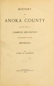
Search results from Open Library.
Recent natural events nearby
- Burn Unit 17 RX Prescribed Fire, Sherburne, MinnesotaWildfires · 2026-04-20 · 26 mi
- rx-45_041526 Prescribed Fire, Burnett, WisconsinWildfires · 2026-04-19 · 56 mi
- rx-66 Prescribed Fire, Burnett, WisconsinWildfires · 2026-04-23 · 57 mi
- rx-73 Prescribed Fire, Burnett, WisconsinWildfires · 2026-04-21 · 58 mi
- rx-82 Prescribed Fire, Burnett, WisconsinWildfires · 2026-05-01 · 61 mi
- Burbank B RX Prescribed Fire, Kandiyohi, MinnesotaWildfires · 2026-05-01 · 75 mi
- Flanders Wildfire, Crow Wing, MinnesotaWildfires · 2026-05-16 · 101 mi
- Black Rush Lake RX Prescribed Fire, Swift, MinnesotaWildfires · 2026-05-04 · 123 mi
Wildfires, storms and other events from NASA EONET (last 12 months, within 250 mi).
Ground air-quality sensors
Recently spotted species
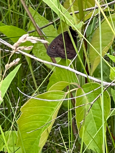
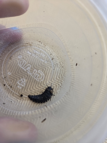
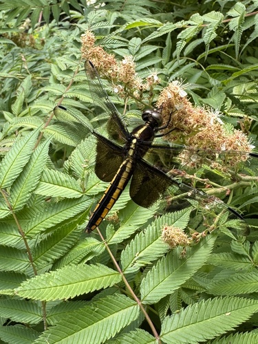
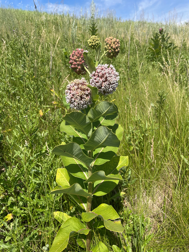
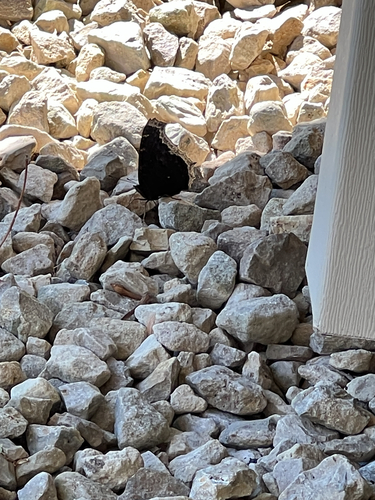
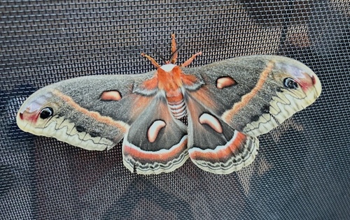
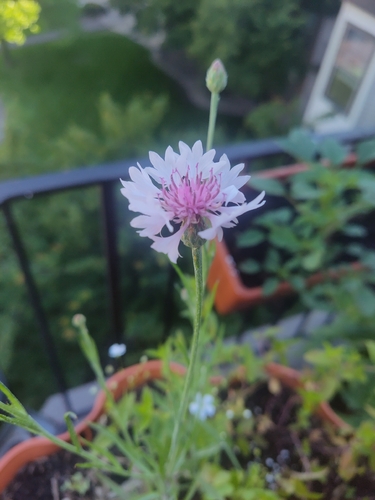
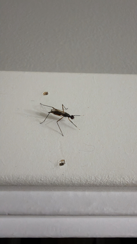
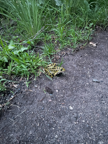
Research-grade observations from iNaturalist (within ~15 mi).
Nearest stream gauge
Live readings from USGS NWIS · measured 2026-06-27 20:30 UTC.
Events
Gallery
Geotagged photos within ~6 miles of Anoka, from Wikimedia Commons contributors.
 0.2 mi
 0.8 mi
 0.9 mi
 0.9 mi
 0.9 mi
 0.9 mi
 0.9 mi
 0.9 mi
 1 mi
1 mi.jpg) 1 mi
1 mi.jpg) 1 mi
1 mi.jpg) 1 mi
1 mi.jpg) 1 mi
1 mi.jpg) 1 mi
1 mi.jpg) 1 mi
1 mi.jpg) 1 mi
1 mi.jpg) 1 mi
1 mi.jpg) 1 mi
1 mi.jpg) 1 mi
1 mi 1 mi
1 mi 1 mi
1 mi 1 mi
1 mi 1 mi
1 mi 1 mi
1 miPhotos via Wikimedia Commons — see each image page for license & attribution.
Sources
- • Wikipedia
- • US Census Bureau (ACS 5-year estimates)
- • NOAA National Weather Service
- • Wikimedia Commons
- • Wikidata
- • Open-Meteo Air Quality (CAMS)
- • USGS Earthquake Catalog (global feed)
- • USGS NWIS (water data)
- • NCES via Urban Institute Education Data Portal
- • GBIF (Global Biodiversity Information Facility)
- • iNaturalist
- • CDC PLACES
- • Open-Meteo / sunrise-sunset.org
- • Wikipedia Pageviews API
- • Open Library
- • NASA EONET