Browse / Mongolia / Khövsgöl / Arbulag
Arbulag
Khövsgölvillage

Arbulag
Demographic figures from National Statistics Office of Mongolia. Overview below cites Wikipedia and may reference a different year.
City facts
Facts from Wikidata (CC0).
Overview
Arbulag is a sum of Khövsgöl aimag. The area is about 3,360 km2, of which 3,120 km2 are pasture. In 2000, the sum had 4478 inhabitants, mainly Khotgoid and Darkhad. The center, officially named Mandal is located 75 km northwest of Mörön and 742 kilometers from Ulaanbaatar.
Read more on WikipediaHistory & geography
History
The Arbulag sum was founded, together with the whole Khövsgöl aimag, in 1931. In 1933, it had about 3,200 inhabitants in 911 households, and about 106,000 heads of livestock. In 1959, areas from Arbulag and Alag-Erdene sum were joined the new Sümber sum, but this sum soon was joined to Arbulag again. The local negdel was founded in 1939, under the name Sörtiin negdel. Later the name was changed to Mandal.
Excerpted from the corresponding Wikipedia article (CC BY-SA).
Geography
Coordinates & boundaries from the US Census TIGER/Line shapefiles.
Climate
Air quality
Walkability
Amenities nearby
Wildlife & biodiversity
Earthquake history
Photos
Sights & places nearby
Notable people from here
Nearby places in Khövsgöl
Geography & sun
Elevation, sunrise/sunset and daylight from Open-Meteo. Solar climatology from NASA POWER.
Nearby airports
Public attention
Pageview totals from the Wikimedia Pageviews API.
Books about this place
Recent natural events nearby
Ground air-quality sensors
Recently spotted species
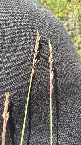
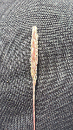
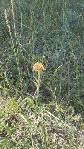
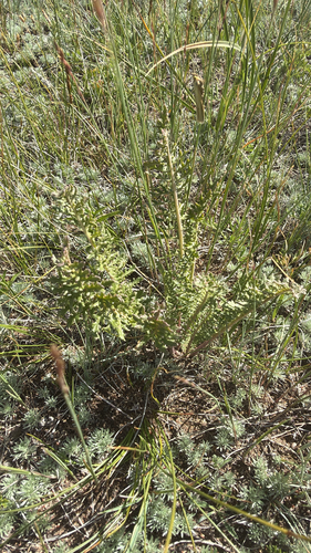
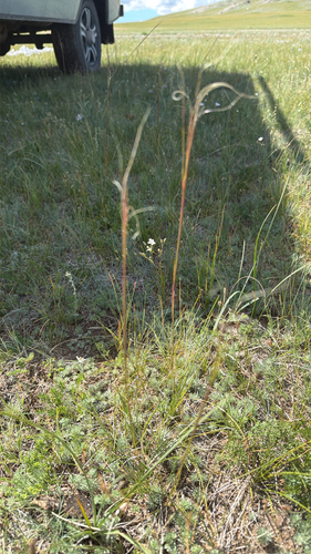
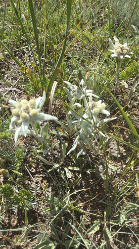
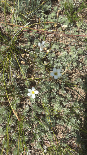
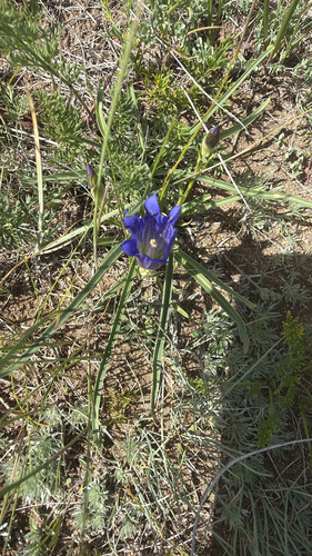
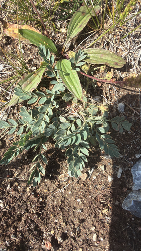
Research-grade observations from iNaturalist (within ~15 mi).
Events
Gallery
Sources
- • Wikipedia
- • Wikidata
- • iNaturalist
- • Open-Meteo / sunrise-sunset.org
- • Wikipedia Pageviews API