Browse / United States / Minnesota / Bloomington
Bloomington
Minnesotacity

Bloomington
Total population
88,339
Median home value
$377,600
Bachelor's+
Median income
$86,097
Founded
1843
Air quality index
Demographic figures from US Census Bureau · ACS 5-year estimates. Overview below cites Wikipedia and may reference a different year.
City facts
Facts from Wikidata (CC0).
Overview
Bloomington is a city in Hennepin County, Minnesota, United States. It is located on the north bank of the Minnesota River above its confluence with the Mississippi River, 10 miles (16 km) south of downtown Minneapolis and just south of the Interstate 494/694 Beltway. The population was 89,987 at the 2020 census, making it Minnesota's fourth-largest city, and the largest suburb of the Twin Cities.
Read more on WikipediaHistory & geography
History
In the 1780s, a village called Titanka Tannina existed in what is now Bloomington, at the mouth of Nine Mile Creek. 'Titanka Tannina' is Dakota for 'the Old Village', likely meaning that Titanka Tannina was the first Dakota community on the Minnesota River. The Chief at that time was Penasha, who would be succeeded by his son, Takuni Phephe Sni. He would then be succeeded by his son, Good Road, in 1833. In 1839, with renewed conflict with the Ojibwe nation, Chief Cloud Man relocated his band of the Mdewakanton Sioux from Bde Maka Ska in Minneapolis to an area named Oak Grove in southern Bloomington, close to present-day Portland Avenue. In 1843, Peter and Louisa Quinn, the first European settlers to live in Bloomington, built a cabin along the Minnesota River in the area. The government had sent them to teach the Native Americans European-derived farming methods. Gideon Hollister Pond, a missionary who had been following and recording the Dakota language from Cloud Man's band, relocated later that year, establishing Oak Grove Mission, his log cabin. Pond and his family held church services and taught the Dakota school subjects and Western farming. Passage across the Minnesota River in Bloomington came in 1849 when William Chambers and Joseph Dean opened the Bloomington Ferry. It remained operational until 1889, when the Bloomington Ferry Bridge was built. After the Treaty of Traverse des Sioux in 1851, the territory west of the Mississippi River, including Bloomington, was opened to settlers. At this time, native Dakota villages such as Titanka Tannina were abandoned. A group of pioneers settled in Bloomington, including the Goodrich, Whalon, and Ames families. They named the area Bloomington after the city they were from, Bloomington, Illinois. Most early jobs were…
Geography
According to the United States Census Bureau, the city has an area of , of which is land and or 9.73% is water. | date = August 2010 | source = | width = 100% }} The city is informally divided by Interstate 35W into "West Bloomington" and "East Bloomington". West Bloomington is mostly residential with newer housing stock, along with multi-story office high-rises along Interstate Highway 494 in the north, whereas East Bloomington contains more industry, destination retail centers, and the majority of Bloomington's less expensive housing. The dividing line may be placed as far west as France Avenue, where the high school attendance boundaries meet.
Excerpted from the corresponding Wikipedia article (CC BY-SA).
Demographics & economy
Race & ethnicity
Source: US Census Bureau — American Community Survey, 5-year estimates.
Geography
Coordinates & boundaries from the US Census TIGER/Line shapefiles.
Climate
Current forecast
Forecast for Bloomington, MN from NOAA NWS API.
Air quality
Current readings from Open-Meteo Air Quality API (Copernicus CAMS European reanalysis).
Industrial & pollution facilities
Natural hazard risk
Health (adults)
Age-adjusted prevalence estimates from CDC PLACES (latest release).
Walkability
Amenities nearby
Wildlife & biodiversity
Most-observed species
- Black-capped ChickadeePoecile atricapillus (Linnaeus, 1766) · Aves102,371
- Northern CardinalCardinalis cardinalis (Linnaeus, 1758) · Aves99,371
- American RobinTurdus migratorius Linnaeus, 1766 · Aves88,242
- Downy WoodpeckerDryobates pubescens (Linnaeus, 1766) · Aves79,056
- MallardAnas platyrhynchos Linnaeus, 1758 · Aves78,728
- Blue JayCyanocitta cristata (Linnaeus, 1758) · Aves74,458
- American GoldfinchSpinus tristis (Linnaeus, 1758) · Aves74,178
- American CrowCorvus brachyrhynchos C.L.Brehm, 1822 · Aves70,364
Citizen-science & research observations from the Global Biodiversity Information Facility (GBIF).
Schools
Largest nearby schools
- EDEN PRAIRIE SENIOR HIGHHigh · EDEN PRAIRIE · 2,833 students · 18.3:1 ratio
- EDINA SENIOR HIGHHigh · EDINA · 2,720 students · 20.5:1 ratio
- CENTRAL MIDDLE SCHOOLMiddle · EDEN PRAIRIE · 1,909 students · 14.7:1 ratio
- JEFFERSON SENIOR HIGHHigh · BLOOMINGTON · 1,637 students · 34.8:1 ratio
- KENNEDY SENIOR HIGHHigh · BLOOMINGTON · 1,601 students · 29.1:1 ratio
- Washburn HighHigh · MINNEAPOLIS · 1,582 students · 27.3:1 ratio
- Southwest HighHigh · MINNEAPOLIS · 1,484 students · 28:1 ratio
- ST. LOUIS PARK SENIOR HIGHHigh · SAINT LOUIS PARK · 1,483 students · 22.5:1 ratio
Public K–12 schools within ~10 mi from Urban Institute Education Data Portal (NCES Common Core of Data, 2022).
Earthquake history
Photos
Sights & places nearby
Notable people from here


People born within ~10 km, from Wikidata (CC0). Click any name for their Wikipedia article.
Nearby places in Minnesota
- Savage5.4 mi away · pop. 32,465
- Shakopee8.8 mi away · pop. 43,698
- Sunfish Lake11.6 mi away
- Chanhassen12.2 mi away · pop. 26,006
- West St. Paul12.3 mi away · pop. 20,615
- Greenwood13 mi away · pop. 699
- Woodland13.1 mi away
- Excelsior13.3 mi away · pop. 2,570
- Farmington13.8 mi away · pop. 23,902
- Wayzata13.9 mi away
- Shorewood14.6 mi away
- St. Anthony14.7 mi away
Geography & sun
Nearby airports
Public attention
Books about this place
Recent natural events nearby
Ground air-quality sensors
Recently spotted species
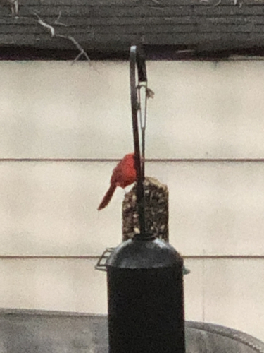
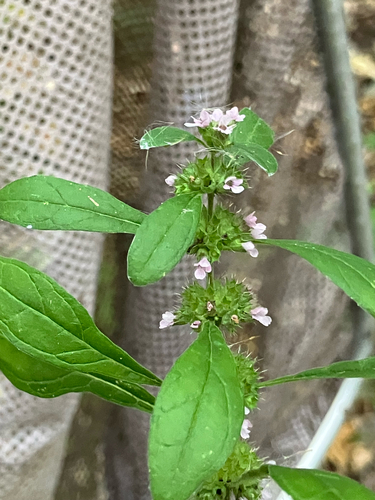
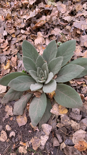
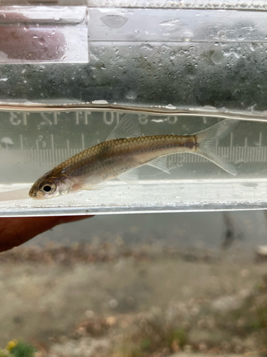
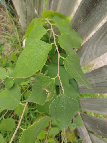
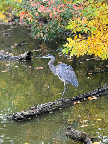
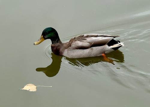
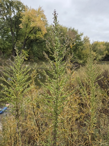
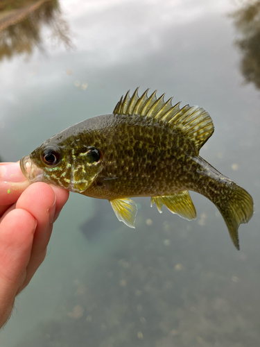
Research-grade observations from iNaturalist (within ~15 mi).
Nearest stream gauge
Live readings from USGS NWIS · measured 2026-10-13 20:00 UTC.
Events
Gallery
Sources
- • Wikipedia
- • US Census Bureau (ACS 5-year estimates)
- • NOAA National Weather Service
- • Wikidata
- • Open-Meteo Air Quality (CAMS)
- • USGS NWIS (water data)
- • NCES via Urban Institute Education Data Portal
- • GBIF (Global Biodiversity Information Facility)
- • iNaturalist
- • CDC PLACES