Browse / United States / Minnesota / Brownsville
Brownsville
Minnesotacity

Brownsville
Total population
609
Median home value
$174,100
Bachelor's+
Median income
$66,750
Demographic figures from US Census Bureau · ACS 5-year estimates. Overview below cites Wikipedia and may reference a different year.
- Flood Watch · SevereFlood Watch issued September 18 at 5:48AM CDT until September 19 at 1:00PM CDT by NWS La Crosse WI
Source: NOAA National Weather Service.
City facts
Facts from Wikidata (CC0).
Overview
Brownsville is a city in Houston County, Minnesota, United States. The population was 566 at the 2020 census.
Read more on WikipediaHistory & geography
History
A post office called Brownsville has been in operation since 1852. Brownsville was platted in 1854 by the brothers Job and Charles Brown, and named for them. The village of Brownsville was destroyed by fire in October 1920. The loss was reported to be worth $75,000. The rail depot and eight other buildings were destroyed. The weekly Brownsville News newspaper, established in June 1885, ceased publication in October 1920. It was issued with the Houston County Chief from November 1920 to April 1927 and with the Hokah Chief from April to July 1927.
Geography
According to the United States Census Bureau, the city has a total area of , of which is land and is water. Minnesota State Highway 26 and County Road 3 (Main Street) are two of the main routes in the community.
Excerpted from the corresponding Wikipedia article (CC BY-SA).
Demographics & economy
Race & ethnicity
Source: US Census Bureau — American Community Survey, 5-year estimates.
Geography
Coordinates & boundaries from the US Census TIGER/Line shapefiles.
Climate
Current forecast
Forecast for Brownsville, MN from NOAA NWS API.
Air quality
Industrial & pollution facilities
Natural hazard risk
Health (adults)
Age-adjusted prevalence estimates from CDC PLACES (latest release).
Walkability
Amenities nearby
Wildlife & biodiversity
Schools
Largest nearby schools
- LA CRESCENT SENIOR HIGHHigh · LA CRESCENT · 381 students · 14.7:1 ratio
- LA CRESCENT-HOKAH ELEMENTARYElementary · LA CRESCENT · 355 students · 11.1:1 ratio
- LA CRESCENT-HOKAH MIDDLE SCHOOLMiddle · LA CRESCENT · 292 students · 13.3:1 ratio
- La Crescent Montessori & STEM AcadElementary · LA CRESCENT · 48 students · 16:1 ratio
- La Crescent Sec Montessori/STEMHigh · LA CRESCENT · 43 students · 14.3:1 ratio
- HVED Spectrum ProgramOther · HOKAH · 14 students · 3.5:1 ratio
- LaCrescent Gr 9-12High · LA CRESCENT
Public K–12 schools within ~10 mi from Urban Institute Education Data Portal (NCES Common Core of Data, 2022).
Earthquake history
Photos
Sights & places nearby
Notable people from here


People born within ~10 km, from Wikidata (CC0). Click any name for their Wikipedia article.
Nearby places in Minnesota
Geography & sun
Elevation, sunrise/sunset and daylight from Open-Meteo. Solar climatology from NASA POWER.
Nearby airports
Public attention
Pageview totals from the Wikimedia Pageviews API.
Books about Brownsville
Search results from Open Library.
Recent natural events nearby
Ground air-quality sensors
Recently spotted species

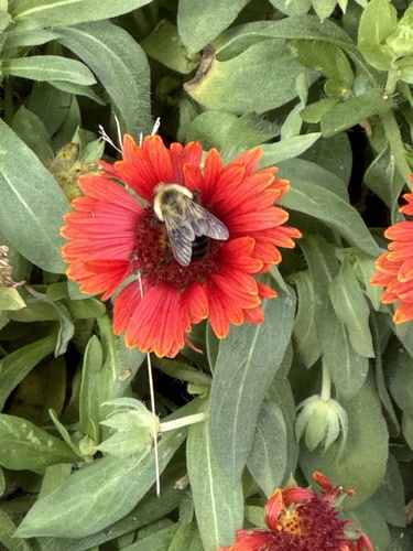
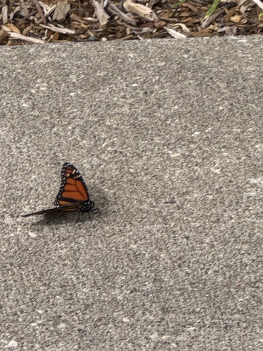
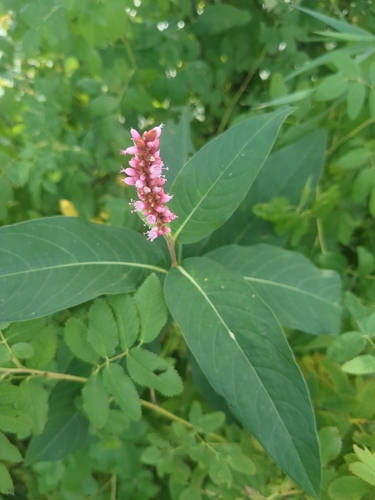
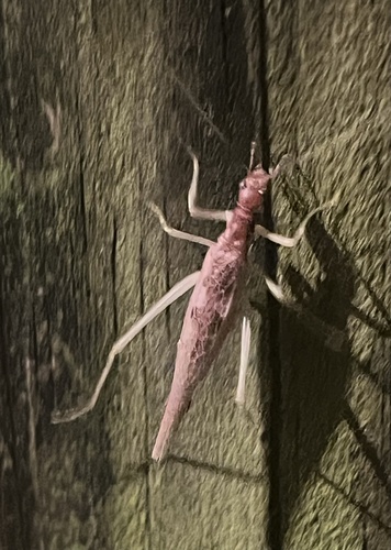
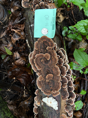
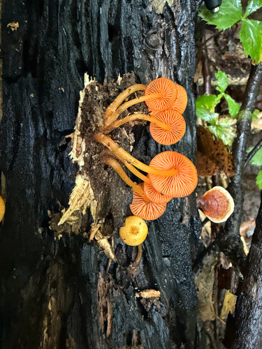
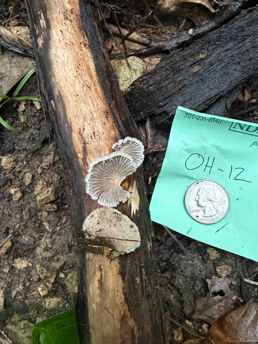
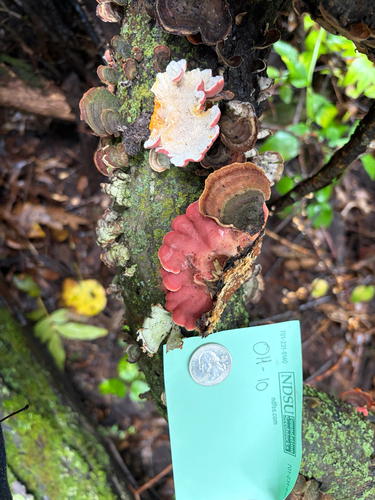
Research-grade observations from iNaturalist (within ~15 mi).
Nearest stream gauge
Events
Gallery
Sources
- • Wikipedia
- • US Census Bureau (ACS 5-year estimates)
- • NOAA National Weather Service
- • Wikidata
- • NCES via Urban Institute Education Data Portal
- • iNaturalist
- • CDC PLACES
- • Open-Meteo / sunrise-sunset.org
- • Wikipedia Pageviews API
- • Open Library