Browse / United States / Minnesota / Carver
Carver
Minnesotacity

Carver
Total population
6,239
Median home value
$445,800
Bachelor's+
Median income
$147,697
Demographic figures from US Census Bureau · ACS 5-year estimates. Overview below cites Wikipedia and may reference a different year.
City facts
Facts from Wikidata (CC0).
Overview
Carver is a city in Carver County, Minnesota, United States. Located along the Minnesota River, the population was 5,829 at the 2020 census. The city is named after early explorer Jonathan Carver.
Read more on WikipediaHistory & geography
History
Ten thousand years ago, the Glacial River Warren flowed through the area and left deposits of clay, sand, gravel, and fine silt soils as well as the Minnesota River. Carver and the surrounding Minnesota River Valley were occupied by a Native American, pre-Columbian Woodland Culture from approximately 1200 B.C. to A.D. 1850. In 1834, there was a Wahpeton village at the present-day location of Carver, led by Chief Mazomaini; early maps indicate it was located on either side of the mouth of Carver Creek where it meets the Minnesota River. Pierre-Charles Le Sueur became the first European to navigate the Minnesota River, and between 1683 and 1700 made explorations of the region on behalf of King Louis XIV of France. In 1766, Jonathan Carver explored the area on behalf of the British Empire, and made maps as he searched for a western water route that flowed across North America to the Pacific Ocean. He named a small branch flowing into the Minnesota River "Carver's River", strongly correlated to the Carver Creek of today. In 1805, French trader Jean-Baptiste Faribault established the Little Rapids trading post just upriver of present-day Carver; the post, on behalf of the Northwest Fur Company, was visited by Voyageurs, Coureur des bois, Dakota Indians, and Christian missionaries.
Geography
According to the United States Census Bureau, the city has a total area of , of which is land and is water. U.S. Highway 212 serves as a main route in the area.
Excerpted from the corresponding Wikipedia article (CC BY-SA).
Demographics & economy
Race & ethnicity
Source: US Census Bureau — American Community Survey, 5-year estimates.
Geography
Coordinates & boundaries from the US Census TIGER/Line shapefiles.
Climate
Current forecast
Forecast for Carver, MN from NOAA NWS API.
Air quality
Industrial & pollution facilities
Natural hazard risk
Health (adults)
Age-adjusted prevalence estimates from CDC PLACES (latest release).
Walkability
Amenities nearby
Wildlife & biodiversity
Schools
Largest nearby schools
- CHASKA HIGH SCHOOLHigh · CHASKA · 1,584 students · 21.7:1 ratio
- CHANHASSEN HIGH SCHOOLHigh · CHANHASSEN · 1,370 students · 20.4:1 ratio
- MINNETONKA WEST MIDDLEMiddle · EXCELSIOR · 1,274 students · 15.5:1 ratio
- Carver Elementary SchoolElementary · CARVER · 748 students · 16.3:1 ratio
- COLOGNE ACADEMYElementary · COLOGNE · 658 students · 12.7:1 ratio
- CLOVER RIDGE ELEMENTARYElementary · CHASKA · 657 students · 14.9:1 ratio
- VICTORIA ELEMENTARYElementary · VICTORIA · 652 students · 17.2:1 ratio
- CHASKA MIDDLE SCHOOL WESTMiddle · CHASKA · 599 students · 14.6:1 ratio
Public K–12 schools within ~10 mi from Urban Institute Education Data Portal (NCES Common Core of Data, 2022).
Earthquake history
Photos
Sights & places nearby
Notable people from here
Nearby places in Minnesota
Geography & sun
Elevation, sunrise/sunset and daylight from Open-Meteo. Solar climatology from NASA POWER.
Nearby airports
Public attention
Pageview totals from the Wikimedia Pageviews API.
Books about Carver
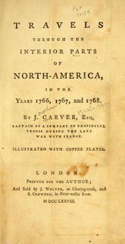
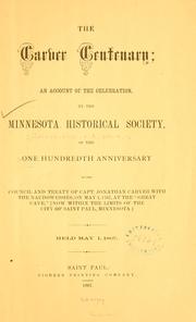
Search results from Open Library.
Recent natural events nearby
Ground air-quality sensors
Recently spotted species
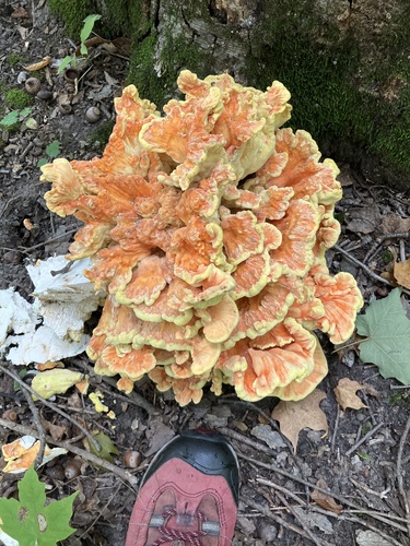
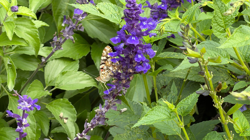
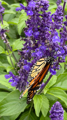
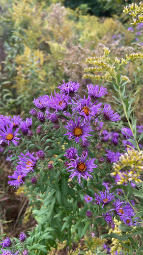
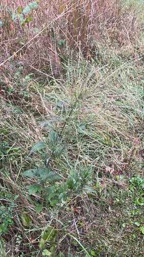
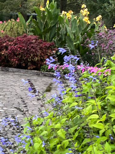
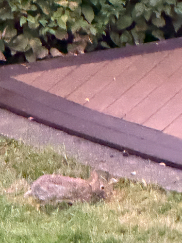
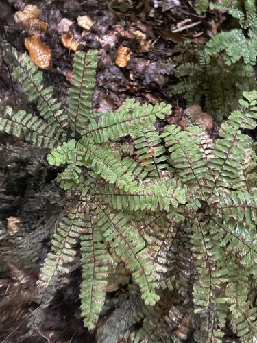
Research-grade observations from iNaturalist (within ~15 mi).
Nearest stream gauge
Events
Gallery
Sources
- • Wikipedia
- • US Census Bureau (ACS 5-year estimates)
- • NOAA National Weather Service
- • Wikidata
- • NCES via Urban Institute Education Data Portal
- • iNaturalist
- • CDC PLACES
- • Open-Meteo / sunrise-sunset.org
- • Wikipedia Pageviews API
- • Open Library