Browse / United States / Minnesota / Chatfield
Chatfield
Minnesotacity

Chatfield
Total population
2,559
Median home value
$241,600
Bachelor's+
Median income
$96,078
Demographic figures from US Census Bureau · ACS 5-year estimates. Overview below cites Wikipedia and may reference a different year.
City facts
Facts from Wikidata (CC0).
Overview
Chatfield is a city in Fillmore and Olmsted counties in the U.S. state of Minnesota. The population was 2,997 at the 2020 census. The city's area is split almost equally between the two counties. Chatfield is known as "The Gateway to Bluff Country" and "The Chosen Valley".
Read more on WikipediaHistory & geography
History
The city was named after Judge Andrew G. Chatfield. It was founded in 1853 by Andrew Twiford, and originally served as the Fillmore county seat prior to the county being further divided. The founding population was overwhelmingly from New England. The New Englanders who founded Chatfield built a community that became so successful it was dubbed "the Chosen Valley". During the American Civil War, the Chatfield Guards militia distinguished themselves as Company A of the 2nd Minnesota Volunteer Infantry, and their commander, former engineer and newspaperman Captain (later promoted to colonel) Judson W. Bishop, later commanded the entire regiment.
Geography
According to the United States Census Bureau, the city has a total area of . It is also the home of the only stop light in Fillmore County, at the intersection of 3rd Street (Fillmore County Road 2) and Main Street. Chatfield has two waterways within its borders, the North Branch of the Root River and a tributary, Mill Creek. U.S. Highway 52, State Highway 30, State Highway 74, and Fillmore County Road 2 are four of the main routes in the city. The North Branch of the Root River flows nearby, and Mill Creek runs through the town. Mill Creek is a designated trout stream.
Excerpted from the corresponding Wikipedia article (CC BY-SA).
Demographics & economy
Race & ethnicity
Source: US Census Bureau — American Community Survey, 5-year estimates.
Geography
Coordinates & boundaries from the US Census TIGER/Line shapefiles.
Climate
Current forecast
Forecast for Chatfield, MN from NOAA NWS API.
Air quality
Industrial & pollution facilities
Natural hazard risk
Health (adults)
Age-adjusted prevalence estimates from CDC PLACES (latest release).
Walkability
Amenities nearby
Wildlife & biodiversity
Schools
Largest nearby schools
- CHATFIELD ELEMENTARY SCHOOLElementary · CHATFIELD · 467 students · 14.6:1 ratio
Public K–12 schools within ~10 mi from Urban Institute Education Data Portal (NCES Common Core of Data, 2022).
Earthquake history
Photos
Sights & places nearby
Notable people from here


People born within ~10 km, from Wikidata (CC0). Click any name for their Wikipedia article.
Nearby places in Minnesota
Geography & sun
Elevation, sunrise/sunset and daylight from Open-Meteo. Solar climatology from NASA POWER.
Nearby airports
Public attention
Pageview totals from the Wikimedia Pageviews API.
Books about Chatfield
Search results from Open Library.
Recent natural events nearby
Ground air-quality sensors
Recently spotted species
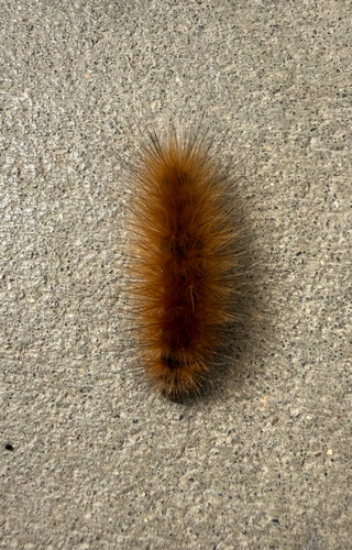
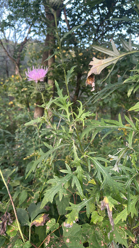
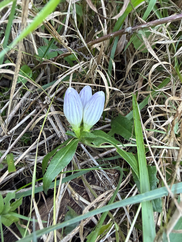
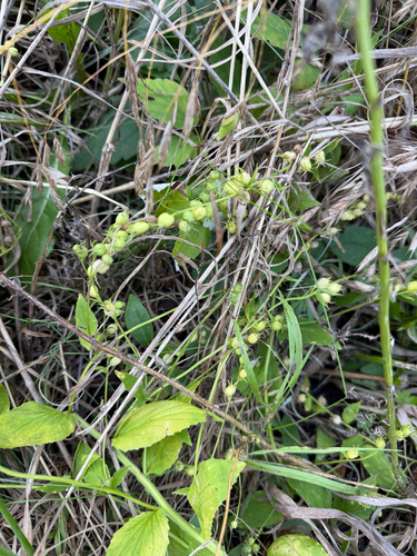
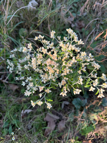
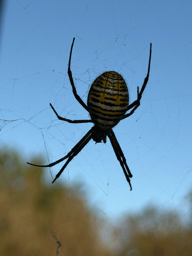


Research-grade observations from iNaturalist (within ~15 mi).
Nearest stream gauge
Events
Gallery
Sources
- • Wikipedia
- • US Census Bureau (ACS 5-year estimates)
- • NOAA National Weather Service
- • Wikidata
- • NCES via Urban Institute Education Data Portal
- • iNaturalist
- • CDC PLACES
- • Open-Meteo / sunrise-sunset.org
- • Wikipedia Pageviews API
- • Open Library