Browse / United States / Minnesota / Eagan
Eagan
Minnesotacity

Eagan
Total population
68,000
Median home value
$397,100
Bachelor's+
Median income
$108,690
Founded
1860
Demographic figures from US Census Bureau · ACS 5-year estimates. Overview below cites Wikipedia and may reference a different year.
- Freeze Warning · SevereFreeze Warning issued October 16 at 1:18AM CDT until October 17 at 9:00AM CDT by NWS Twin Cities/Chanhassen MN
Source: NOAA National Weather Service.
City facts
Facts from Wikidata (CC0).
Overview
Eagan is a city in Dakota County, Minnesota, United States. It is south of Saint Paul and lies on the south bank of the Minnesota River, upstream from its confluence with the Mississippi River. The population was 68,855 at the 2020 census. Eagan and the other nearby suburbs form the southern section of the Minneapolis–Saint Paul area.
Read more on WikipediaHistory & geography
History
Eagan was named for Patrick Eagan, who was the first chairman of the town board of supervisors. He farmed a parcel of land near the present-day town hall. Eagan (born 1811) and his wife Margaret Twohy (born 1816) emigrated from County Tipperary, Ireland to Troy, New York, where they married in 1843. They arrived in Mendota circa 1853–54, before settling in the Eagan area. Eagan was settled as an Irish farming community and "Onion Capital of the United States". Its largest growth took place after Highway 77 was relocated and expanded and a six-lane bridge (with three northbound and three southbound lanes) was constructed over the Minnesota River in 1980 and the final Interstate 35E freeway section southbound from Minnesota State Highway 110 in Mendota Heights to the area where it joins 35W in Burnsville was completed in the mid-1980s. Eagan's northern border is mostly along Interstate 494. Its southern border is about a mile south of Cliff Road. Its eastern border runs mostly along Minnesota State Highway 3. The western border runs mostly along the Minnesota River's south bank. The city was visited by the "20th hijacker" of the September 11 attacks, Zacarias Moussaoui, before the attacks. Moussaoui attempted to complete flight training school, but was ultimately refused service by a local resident. In February 2026, Eagan's city council placed a one-year ban on the construction of new data centers and cryptocurrency mining operations after residents expressed concerns about data center water and electricity use. The ban restricts centers that would use more than 20 megawatts of electricity within 500 feet of homes. Eagan had four data centers active or in development before the ban, all under 20 megawatts of electricity use. Eagan was the first city in Minnesota to…
Geography
According to the United States Census Bureau, the city has a total area of , of which is land and is water. Interstate Highway 35E, Interstate Highway 494, Minnesota Highways 13, 55, 77, and 149 are six of Eagan's main routes. The Eagan Core Greenway is an ongoing project to preserve Eagan's environmentally sensitive green space, with particular emphasis on Patrick Eagan Park and the two-mile (3 km) greenway connecting the park with Lebanon Hills Regional Park. File:Eagan Water Park.jpg|Cascade Bay File:Eagan Civic Arena.jpg|Civic Arena
Excerpted from the corresponding Wikipedia article (CC BY-SA).
Demographics & economy
Race & ethnicity
Source: US Census Bureau — American Community Survey, 5-year estimates.
Geography
Coordinates & boundaries from the US Census TIGER/Line shapefiles.
Climate
Current forecast
Forecast for Eagan, MN from NOAA NWS API.
Air quality
Industrial & pollution facilities
Natural hazard risk
Health (adults)
Age-adjusted prevalence estimates from CDC PLACES (latest release).
Walkability
Amenities nearby
Wildlife & biodiversity
Most-observed species
- Black-capped ChickadeePoecile atricapillus (Linnaeus, 1766) · Aves86,377
- Northern CardinalCardinalis cardinalis (Linnaeus, 1758) · Aves83,686
- American RobinTurdus migratorius Linnaeus, 1766 · Aves82,598
- MallardAnas platyrhynchos Linnaeus, 1758 · Aves73,562
- Canada Goose (canadensis Group)Branta canadensis (Linnaeus, 1758) · Aves67,150
- American CrowCorvus brachyrhynchos C.L.Brehm, 1822 · Aves66,380
- Blue JayCyanocitta cristata (Linnaeus, 1758) · Aves66,302
- Downy WoodpeckerDryobates pubescens (Linnaeus, 1766) · Aves65,706
Citizen-science & research observations from the Global Biodiversity Information Facility (GBIF).
Schools
Largest nearby schools
- ROSEMOUNT SENIOR HIGHHigh · ROSEMOUNT · 2,425 students · 19.1:1 ratio
- EASTVIEW SENIOR HIGHHigh · APPLE VALLEY · 2,308 students · 20.6:1 ratio
- EAGAN SENIOR HIGHHigh · EAGAN · 2,171 students · 19.7:1 ratio
- Burnsville High SchoolHigh · BURNSVILLE · 2,119 students · 19.1:1 ratio
- APPLE VALLEY SENIOR HIGHHigh · APPLE VALLEY · 1,893 students · 18:1 ratio
- Two Rivers High SchoolHigh · MENDOTA HEIGHTS · 1,479 students · 19.5:1 ratio
- BURNSVILLE AREA LEARNING CENTERHigh · BURNSVILLE · 1,390 students
- ROSEMOUNT MIDDLEMiddle · ROSEMOUNT · 1,205 students · 19.8:1 ratio
Public K–12 schools within ~10 mi from Urban Institute Education Data Portal (NCES Common Core of Data, 2022).
Earthquake history
Most recent
- M 2.8 — 2017-04-25Near Mankato, Minnesota
Events from the USGS Earthquake Catalog (global) (FDSN Event Web Service).
Photos
Sights & places nearby
Notable people from here


People born within ~10 km, from Wikidata (CC0). Click any name for their Wikipedia article.
Nearby places in Minnesota
- Sunfish Lake5.4 mi away
- West St. Paul7.1 mi away · pop. 20,615
- St. Paul Park8.4 mi away
- Newport9 mi away
- Savage10.6 mi away · pop. 32,465
- Farmington10.8 mi away · pop. 23,902
- Roseville13.9 mi away · pop. 36,254
- Little Canada14.9 mi away
- St. Anthony15.1 mi away
- Hampton16.3 mi away · pop. 590
- Vadnais Heights17.4 mi away
- Pine Springs18.4 mi away
Geography & sun
Elevation, sunrise/sunset and daylight from Open-Meteo. Solar climatology from NASA POWER.
Nearby airports
Public attention
Pageview totals from the Wikimedia Pageviews API.
Books about Eagan
Search results from Open Library.
Recent natural events nearby
Ground air-quality sensors
Recently spotted species
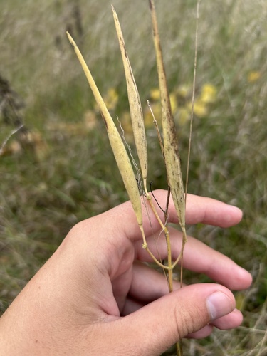
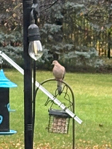
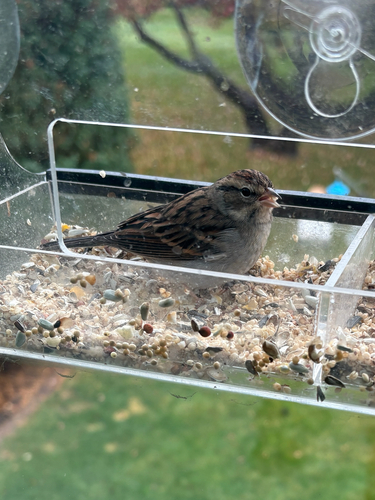
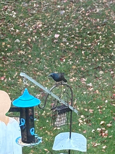
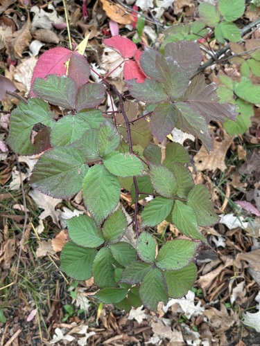
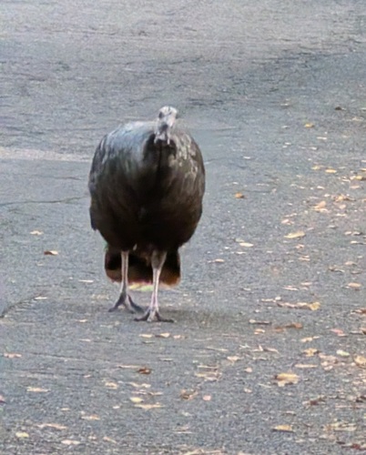
Research-grade observations from iNaturalist (within ~15 mi).
Nearest stream gauge
Live readings from USGS NWIS · measured 2026-10-13 11:15 UTC.
Events
Gallery
Sources
- • Wikipedia
- • US Census Bureau (ACS 5-year estimates)
- • NOAA National Weather Service
- • Wikidata
- • USGS Earthquake Catalog (global feed)
- • USGS NWIS (water data)
- • NCES via Urban Institute Education Data Portal
- • GBIF (Global Biodiversity Information Facility)
- • iNaturalist
- • CDC PLACES
- • Open-Meteo / sunrise-sunset.org
- • Wikipedia Pageviews API
- • Open Library