Browse / United States / Minnesota / Edina
Edina
Minnesotacity

Edina
Total population
53,262
Median home value
$646,300
Bachelor's+
Median income
$128,767
Founded
1888
Demographic figures from US Census Bureau · ACS 5-year estimates. Overview below cites Wikipedia and may reference a different year.
City facts
Facts from Wikidata (CC0).
Overview
Edina is a city in Hennepin County, Minnesota, United States and a first-ring suburb of Minneapolis. The population was 53,494 at the 2020 census, making it the 18th most populous city in Minnesota.
Read more on WikipediaHistory & geography
History
Edina began as part of Richfield Township, Minnesota. By the 1870s, 17 families, most of them immigrating as a result of the Great Famine of Ireland, had come to Minnesota and claimed land in the southwest section of what was then Richfield Township. They were followed by settlers from New England and Germany, who claimed additional land near Minnehaha Creek. The Baird and Grimes neighborhoods (both listed on the National Register of Historic Places) and the Country Club District (then known as Waterville Mills) in northeastern Edina were among the first areas to be established. The area then known as the Cahill Settlement, at West 70th Street and Cahill Road, was also an early community center and the home of Cahill School. In 1888, the township's residents held a meeting to consider founding a new village, thus separating themselves from Richfield Township. The idea was accepted and a committee was established to oversee the transition. After the decision was made to form a new village, debate ensued about the new village's name. Several town meetings were held in the Minnehaha Grange Hall, during which the names Hennepin Park, Westfield, and Edina were suggested. Minutes taken by Henry F. Brown, a farmer and future owner (1889) of the Edina Mill, are summarized as follows: At the next meeting, the name Edina was chosen with a vote of 47 for and 42 against. The name "Edina" may also come from the language of the nearby Dakota tribe. The word means "to catch fire." The first suburban development in Edina occurred during the early 1900s in Morningside, a neighborhood in the northeastern part of the village. As Morningside grew, conflict arose between its residents who wanted more city services, and the residents of the rest of the village who wanted to maintain…
Geography
According to the United States Census Bureau, the city has a total area of , of which is land and is water. Residential areas comprise the largest portion of the city, which is now more than 95 percent developed. Within Edina are many different neighborhoods; Highlands, Indian Hills, Morningside, Country Club District, Cahill Village, Chapel Hill, South Harriet Park, Interlachen, Rolling Green, Presidents, Sunnyslope, White Oaks, Parkwood Knolls, Braemar Hills, Birchcrest, Dewey Hill and Hilldale.
Excerpted from the corresponding Wikipedia article (CC BY-SA).
Demographics & economy
Race & ethnicity
Source: US Census Bureau — American Community Survey, 5-year estimates.
Geography
Coordinates & boundaries from the US Census TIGER/Line shapefiles.
Climate
Current forecast
Forecast for Edina, MN from NOAA NWS API.
Air quality
Industrial & pollution facilities
Natural hazard risk
Health (adults)
Age-adjusted prevalence estimates from CDC PLACES (latest release).
Walkability
Amenities nearby
Wildlife & biodiversity
Most-observed species
- Black-capped ChickadeePoecile atricapillus (Linnaeus, 1766) · Aves111,708
- Northern CardinalCardinalis cardinalis (Linnaeus, 1758) · Aves108,532
- American RobinTurdus migratorius Linnaeus, 1766 · Aves94,950
- Downy WoodpeckerDryobates pubescens (Linnaeus, 1766) · Aves86,633
- MallardAnas platyrhynchos Linnaeus, 1758 · Aves84,796
- Blue JayCyanocitta cristata (Linnaeus, 1758) · Aves81,500
- American GoldfinchSpinus tristis (Linnaeus, 1758) · Aves80,915
- American CrowCorvus brachyrhynchos C.L.Brehm, 1822 · Aves75,901
Citizen-science & research observations from the Global Biodiversity Information Facility (GBIF).
Schools
Largest nearby schools
- MINNETONKA SENIOR HIGHHigh · MINNETONKA · 3,508 students · 18.7:1 ratio
- EDEN PRAIRIE SENIOR HIGHHigh · EDEN PRAIRIE · 2,833 students · 18.3:1 ratio
- EDINA SENIOR HIGHHigh · EDINA · 2,720 students · 20.5:1 ratio
- CENTRAL MIDDLE SCHOOLMiddle · EDEN PRAIRIE · 1,909 students · 14.7:1 ratio
- ROBBINSDALE ARMSTRONG SENIOR HIGHHigh · PLYMOUTH · 1,832 students · 30.5:1 ratio
- JEFFERSON SENIOR HIGHHigh · BLOOMINGTON · 1,637 students · 34.8:1 ratio
- KENNEDY SENIOR HIGHHigh · BLOOMINGTON · 1,601 students · 29.1:1 ratio
- Washburn HighHigh · MINNEAPOLIS · 1,582 students · 27.3:1 ratio
Public K–12 schools within ~10 mi from Urban Institute Education Data Portal (NCES Common Core of Data, 2022).
Earthquake history
Most recent
- M 2.8 — 2017-04-25Near Mankato, Minnesota
Events from the USGS Earthquake Catalog (global) (FDSN Event Web Service).
Photos
Sights & places nearby
Notable people from here


People born within ~10 km, from Wikidata (CC0). Click any name for their Wikipedia article.
Nearby places in Minnesota
- Woodland8.9 mi away
- Savage9.1 mi away · pop. 32,465
- Wayzata9.5 mi away
- Greenwood9.6 mi away · pop. 699
- Shakopee10 mi away · pop. 43,698
- Excelsior10.1 mi away · pop. 2,570
- Chanhassen10.2 mi away · pop. 26,006
- Shorewood11.6 mi away
- St. Anthony11.9 mi away
- Long Lake12.1 mi away
- Brooklyn Center12.4 mi away · pop. 32,479
- Roseville13.2 mi away · pop. 36,254
Geography & sun
Elevation, sunrise/sunset and daylight from Open-Meteo. Solar climatology from NASA POWER.
Nearby airports
Public attention
Pageview totals from the Wikimedia Pageviews API.
Books about Edina

Search results from Open Library.
Recent natural events nearby
Ground air-quality sensors
Recently spotted species
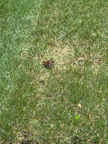
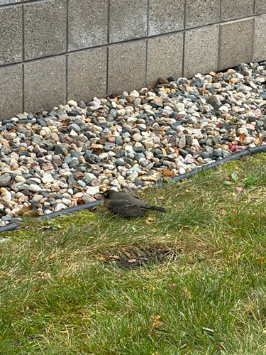
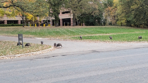
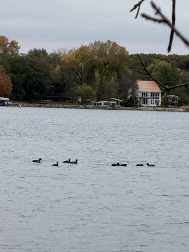
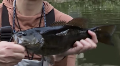

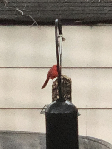
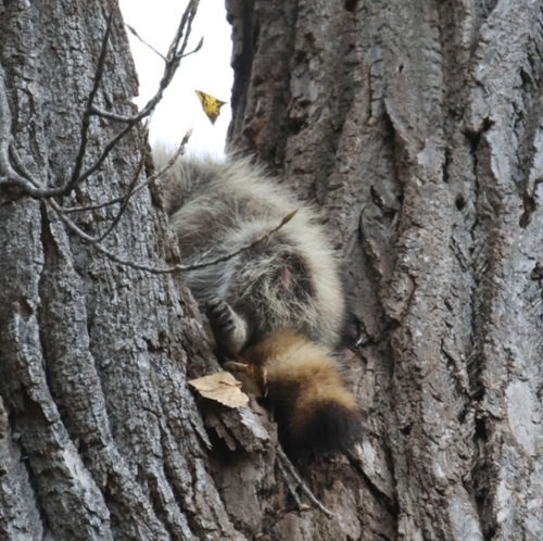
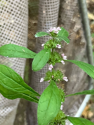
Research-grade observations from iNaturalist (within ~15 mi).
Nearest stream gauge
Events
Gallery
Sources
- • Wikipedia
- • US Census Bureau (ACS 5-year estimates)
- • NOAA National Weather Service
- • Wikidata
- • USGS Earthquake Catalog (global feed)
- • NCES via Urban Institute Education Data Portal
- • GBIF (Global Biodiversity Information Facility)
- • iNaturalist
- • CDC PLACES
- • Open-Meteo / sunrise-sunset.org
- • Wikipedia Pageviews API
- • Open Library