Browse / Mongolia / Khövsgöl / Erdenebulgan
Erdenebulgan
Khövsgöltown

Erdenebulgan
Demographic figures from National Statistics Office of Mongolia. Overview below cites Wikipedia and may reference a different year.
City facts
Overview
Erdenebulgan is a sum of Khövsgöl aimag. The area is about 4,960 km². In 2000, the sum had 2739 inhabitants. The center, officially named Eg-Üür, is situated on the banks of the Egiin gol.
Read more on WikipediaHistory & geography
Geography
Coordinates & boundaries from the US Census TIGER/Line shapefiles.
Climate
Air quality
Walkability
Amenities nearby
Wildlife & biodiversity
Most-observed species
- Black KiteMilvus migrans (Boddaert, 1783) · Aves4
- Common CuckooCuculus canorus Linnaeus, 1758 · Aves3
- white-flower Chinese irisIris lactea Pall. · Liliopsida2
- Common RedstartPhoenicurus phoenicurus (Linnaeus, 1758) · Aves2
- Narcissus AnemoneAnemonastrum narcissiflorum (L.) Holub · Magnoliopsida2
- Carrion CrowCorvus corone Linnaeus, 1758 · Aves2
- Barn SwallowHirundo rustica Linnaeus, 1758 · Aves2
- White WagtailMotacilla alba Linnaeus, 1758 · Aves2
Citizen-science & research observations from the Global Biodiversity Information Facility (GBIF).
Earthquake history
Most recent
- M 4.3 — 2008-09-28103 km NNE of Mörön, Mongolia
- M 3.6 — 2008-04-0592 km NNE of Mörön, Mongolia
- M 4.5 — 2008-04-05102 km NNE of Mörön, Mongolia
Events from the USGS Earthquake Catalog (global) (FDSN Event Web Service).
Photos
Sights & places nearby
Notable people from here
Nearby places in Khövsgöl
- Tsagaan-Uur29.5 mi away
- Chandmani-Undur38.2 mi away
- Tunel46.1 mi away
- Khatgal67.1 mi away · pop. 2,796
- Alag-Erdene68 mi away
- Murun71.3 mi away · pop. 35,789
- Tumurbulag81.9 mi away
- Burentogtoh95.2 mi away
- Arbulag96.1 mi away
- Khankh104.3 mi away · pop. 2,140
- Renchinlkhumbe108.5 mi away
- Ulaan-Uul111 mi away · pop. 3,726
Geography & sun
Elevation, sunrise/sunset and daylight from Open-Meteo. Solar climatology from NASA POWER.
Nearby airports
Public attention
Pageview totals from the Wikimedia Pageviews API.
Books about this place
Recent natural events nearby
Ground air-quality sensors
Recently spotted species
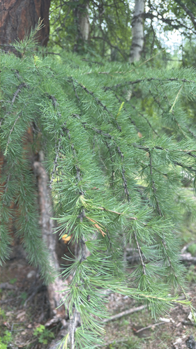
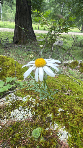
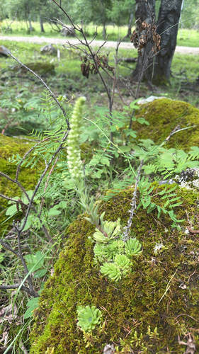
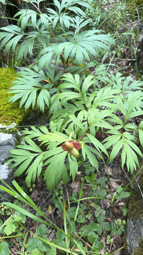
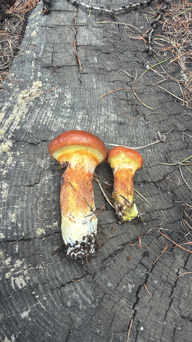
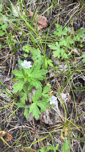
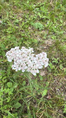
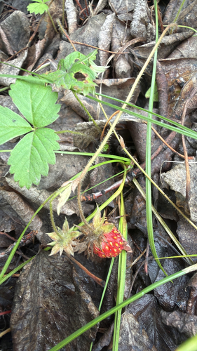
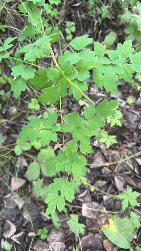
Research-grade observations from iNaturalist (within ~15 mi).
Events
Gallery
Sources
- • Wikipedia
- • Wikidata
- • USGS Earthquake Catalog (global feed)
- • GBIF (Global Biodiversity Information Facility)
- • iNaturalist
- • Open-Meteo / sunrise-sunset.org
- • Wikipedia Pageviews API