Browse / United States / Minnesota / Fulda
Fulda
Minnesotacity

Fulda
Total population
1,393
Median home value
$164,700
Bachelor's+
Median income
$71,136
Founded
1900
Demographic figures from US Census Bureau · ACS 5-year estimates. Overview below cites Wikipedia and may reference a different year.
City facts
Facts from Wikidata (CC0).
Overview
Fulda is a city in Murray County, Minnesota, United States. The population was 1,371 at the 2020 census, up from 1,318 in 2010.
Read more on WikipediaHistory & geography
History
The city of Fulda was founded in 1881 along the Milwaukee Road primarily by German settlers, though also by Scandinavians and Irish. It was named for Fulda in Hessen, Germany. Fulda is still predominantly an agricultural community. Although the rail line was discontinued in 1980, the two-story train depot, along with a section of track, has been preserved and is listed on the National Register of Historic Places. The lower level of the depot is currently used as an antiques museum and store. The other building in the city on the National Register is the former Citizens State Bank. Fulda has a Civil War cannon in its city park. It is a three-inch (76 mm) rifled gun and was purchased for $155 on June 25, 1892, by the Zach Taylor Post No. 42 of the Grand Army of the Republic.
Geography
Fulda is in southeastern Murray County, surrounded by Bondin Township. U.S. Highway 59 runs along the eastern border of the city, leading northwest to Slayton, the Murray county seat, and south to Worthington. Minnesota State Highway 62 has its western terminus at US 59 in Fulda and leads east to Windom. According to the U.S. Census Bureau, Fulda has an area of , of which are land and , or 6.99%, are water. The city is on the north end of Fulda Lake and is in the watershed of the Des Moines River. * Lime Creek, northeast * Wirock, west * Avoca, northwest * Dundee, east * Kinbrae, southeast * Iona, northwest * Slayton, northwest * Dovray, north * Reading, southwest * Brewster, southeast
Excerpted from the corresponding Wikipedia article (CC BY-SA).
Demographics & economy
Race & ethnicity
Source: US Census Bureau — American Community Survey, 5-year estimates.
Geography
Coordinates & boundaries from the US Census TIGER/Line shapefiles.
Climate
Current forecast
Forecast for Fulda, MN from NOAA NWS API.
Air quality
Industrial & pollution facilities
Natural hazard risk
Health (adults)
Walkability
Amenities nearby
Wildlife & biodiversity
Most-observed species
- Red-winged BlackbirdAgelaius phoeniceus (Linnaeus, 1766) · Aves638
- Canada Goose (canadensis Group)Branta canadensis (Linnaeus, 1758) · Aves637
- KilldeerCharadrius vociferus Linnaeus, 1758 · Aves581
- American RobinTurdus migratorius Linnaeus, 1766 · Aves580
- Common GrackleQuiscalus quiscula (Linnaeus, 1758) · Aves547
- MallardAnas platyrhynchos Linnaeus, 1758 · Aves528
- Blue-winged TealSpatula discors (Linnaeus, 1766) · Aves483
- Mourning DoveZenaida macroura (Linnaeus, 1758) · Aves431
Citizen-science & research observations from the Global Biodiversity Information Facility (GBIF).
Schools
Earthquake history
Events from the USGS Earthquake Catalog (global) (FDSN Event Web Service).
Photos
Sights & places nearby
Notable people from here
People born within ~10 km, from Wikidata (CC0). Click any name for their Wikipedia article.
Nearby places in Minnesota
Geography & sun
Elevation, sunrise/sunset and daylight from Open-Meteo. Solar climatology from NASA POWER.
Nearby airports
Public attention
Pageview totals from the Wikimedia Pageviews API.
Books about this place
Recent natural events nearby
Ground air-quality sensors
Recently spotted species
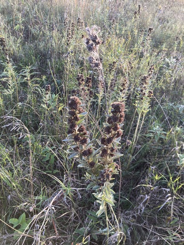
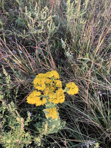
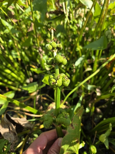
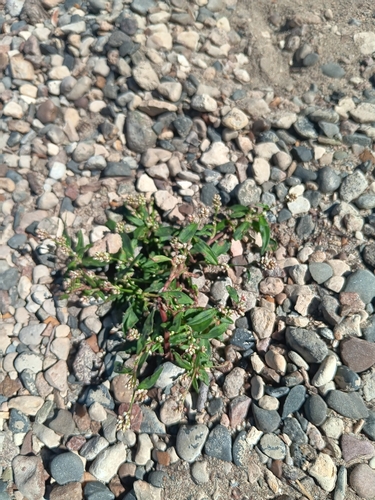
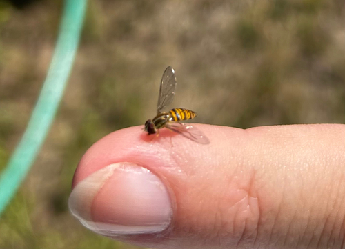
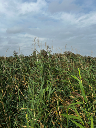
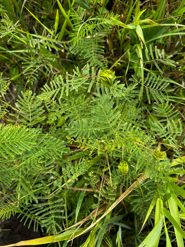
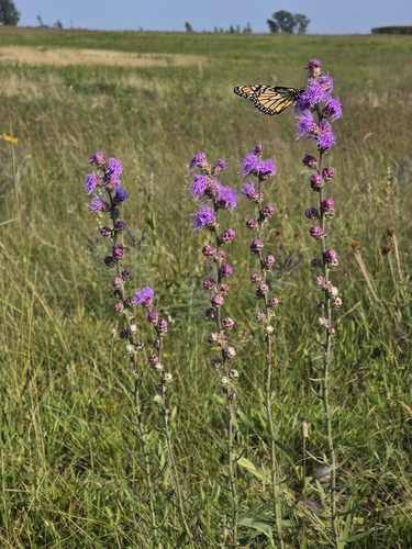
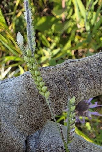
Research-grade observations from iNaturalist (within ~15 mi).
Nearest stream gauge
Events
Gallery
Sources
- • Wikipedia
- • US Census Bureau (ACS 5-year estimates)
- • NOAA National Weather Service
- • Wikidata
- • USGS Earthquake Catalog (global feed)
- • GBIF (Global Biodiversity Information Facility)
- • iNaturalist
- • Open-Meteo / sunrise-sunset.org
- • Wikipedia Pageviews API