Browse / United States / Minnesota / Grand Marais
Grand Marais
Minnesotacity

Grand Marais
Total population
1,796
Median home value
$310,500
Bachelor's+
Median income
$70,583
Demographic figures from US Census Bureau · ACS 5-year estimates. Overview below cites Wikipedia and may reference a different year.
City facts
Facts from Wikidata (CC0).
Overview
Grand Marais is a city and the county seat of Cook County, Minnesota, United States, of which it is the only municipality. It is on Lake Superior's North Shore. Grand Marais had a population of 1,337 at the 2020 census. Before it was settled by French Canadians and before Minnesota's statehood, it was inhabited by the Ojibwe.
Read more on WikipediaHistory & geography
History
The Ojibwe name for the area is , which means "great duplicate water," "parallel body of water" or "double body of water" (like a bayou), a reference to the two bays that form this large harbor of Lake Superior. The area was a bustling fur trading station in the 1700s, and the French Canadian Voyageurs termed the settled village "Grand Marais" ("Great Marsh"), referring to a marsh that, in early fur-trading times, was 20 acres (8.1 ha) or less in area, nearly at the level of Lake Superior, and at the head of the little bay and harbor that led to the settlement of the village there. Another small bay on the east, less protected from storms, is separated from the harbor by a slight projecting point and a short beach. "Grand Marais" also may mean "sheltered water area", as the harbor has natural breakwall rock outcroppings, providing a natural safe harbor for early Lake Superior explorers. The area is home to several nonprofit educational institutions, such as the Grand Marais Art Colony and the North House Folk School, and art galleries featuring the work of local and regional artists. On April 13, 2020, a large fire swept through downtown Grand Marais, destroying three buildings: The Crooked Spoon Cafe, White Pine North, and Picnic and Pine. The fire burned for over three hours in intense winds.
Geography
According to the United States Census Bureau, the city has an area of , all land. Grand Marais is on the northwestern shore of Lake Superior. It is an entry point for the Boundary Waters Canoe Area Wilderness, at the beginning of the Gunflint Trail. The Superior Hiking Trail passes near Grand Marais, and Judge C. R. Magney State Park is nearby. The land surrounding Grand Marais slopes up to form the Sawtooth Bluff, a dramatic rock face visible from nearly any vantage point in the city. Adjacent to the bluff is Pincushion Mountain, a large bald monolith with views of Lake Superior and the inland wilderness. Grand Marais Harbor is protected by Artist's Point, a barrier island formed by lava that was connected to the mainland by gravel deposited by lake currents, forming a tombolo. An Arctic–alpine disjunct community survives there. Road access to Grand Marais is by Minnesota Highway 61, which follows the shore of Lake Superior, and is known as the North Shore Scenic Drive. The Gunflint Trail (Cook County Road 12) begins in Grand Marais and heads northwest, away from the lake and into the Boundary Waters region. Grand Marais is northeast of Duluth and southwest of the Canada–US border. Grand Marais has a warm-summer humid continental climate (Köppen Dfb), like the rest of northern Minnesota. Because of the moderating influence of Lake Superior, summer temperatures are cooler, winter temperatures warmer, and the seasonal temperature difference is smaller than locations farther inland. With average highs of just below in July and August, Grand Marais has the coolest summer temperatures of any weather station in Minnesota. The difference between the temperature of the warmest and coldest months is only , significantly smaller than , the seasonal temperature…
Excerpted from the corresponding Wikipedia article (CC BY-SA).
Demographics & economy
Race & ethnicity
Source: US Census Bureau — American Community Survey, 5-year estimates.
Geography
Coordinates & boundaries from the US Census TIGER/Line shapefiles.
Climate
Current forecast
Forecast for Grand Marais, MN from NOAA NWS API.
Air quality
Industrial & pollution facilities
Natural hazard risk
Health (adults)
Walkability
Amenities nearby
Wildlife & biodiversity
Schools
Earthquake history
Photos
Sights & places nearby
Notable people from here
Nearby places in Minnesota
Geography & sun
Elevation, sunrise/sunset and daylight from Open-Meteo. Solar climatology from NASA POWER.
Nearby airports
Public attention
Pageview totals from the Wikimedia Pageviews API.
Books about Grand Marais

Search results from Open Library.
Recent natural events nearby
Ground air-quality sensors
Recently spotted species
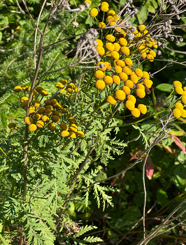

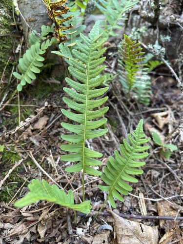
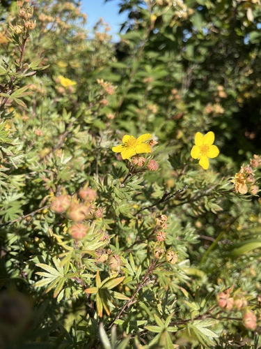
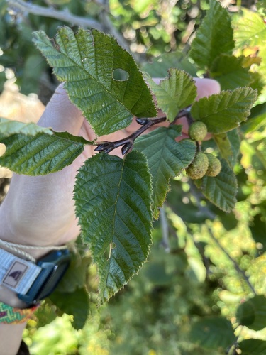
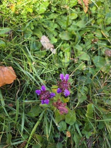
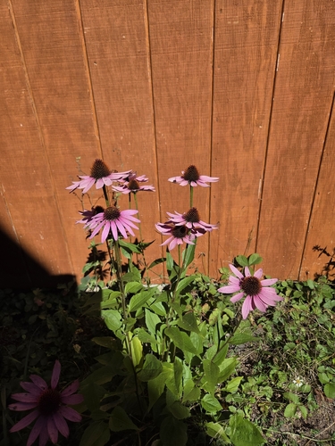
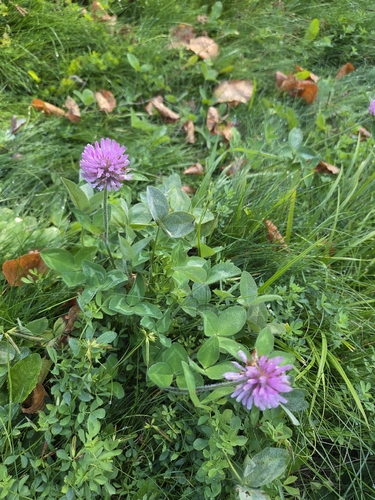
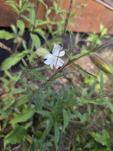
Research-grade observations from iNaturalist (within ~15 mi).
Nearest stream gauge
Events
Gallery
Sources
- • Wikipedia
- • US Census Bureau (ACS 5-year estimates)
- • NOAA National Weather Service
- • Wikidata
- • iNaturalist
- • Open-Meteo / sunrise-sunset.org
- • Wikipedia Pageviews API
- • Open Library