Browse / United States / Minnesota / Hokah
Hokah
Minnesotacity

Hokah
Total population
668
Median home value
$188,700
Bachelor's+
Median income
$60,781
Founded
1851
Demographic figures from US Census Bureau · ACS 5-year estimates. Overview below cites Wikipedia and may reference a different year.
- Freeze Warning · SevereFreeze Warning issued October 16 at 10:51AM CDT until October 17 at 9:00AM CDT by NWS La Crosse WI
Source: NOAA National Weather Service.
City facts
Facts from Wikidata (CC0).
Overview
Hokah is a city in Houston County, Minnesota, United States. As of the 2020 census, Hokah had a population of 553. Hokah is located near the confluence of the Root and Mississippi rivers, opposite La Crosse, Wisconsin.
Read more on WikipediaHistory & geography
History
Prior to the arrival of Europeans, the area that is now the city of Hokah was a Native American settlement of the Dakota people. The city's name, which is said to be a Native American word meaning gar fish or the Dakota name for the nearby Root River, derives from the chief of the settlement, Chief Wecheschatope Hokah. The first recorded European settler in Hokah was Edward Thompson, who arrived in 1851 with his wife and family and constructed a flour mill and dam on Thompson Creek, a tributary of the Root River that runs through the city and now bears his name. The first town meeting was held in 1858, and the town was officially incorporated into a village by the state of Minnesota on March 2, 1871. The railroad depot was equipped for all types of railroad work, including the construction of railroad locomotives and coaches. The depot employed as many as 500 workers and constructed as many as 300 coaches in one year. As of 1880, Hokah also had a plow factory, a furniture factory, three blacksmith shops, a shoe shop, two drug stores, and six general stores. In 1880, the Root River Valley Railroad was purchased by the Chicago, Milwaukee, St. Paul and Pacific Railroad and the railroad depot in Hokah was razed in favor of other facilities elsewhere, leaving several hundred workers without employment and causing many people to leave the area. Hokah's other industries suffered from this loss of population and many of the other local businesses eventually closed. On August 19, 2007, 15.10 inches of rain fell in Hokah over a 24-hour period, breaking the previous 24-hour rainfall record for the state of Minnesota of 10.84 inches set on July 22, 1972 in Fort Ripley, Minnesota. This rainfall was part of the weather system that caused the 2007 Midwest flooding and caused…
Geography
According to the United States Census Bureau, the city has a total area of , of which is land and is water. Hokah's location in the Driftless Area of southeastern Minnesota gives it a hilly landscape dominated by high bluffs and low river valleys known as coulees. The city's downtown is set on a small bluff between the Root River valley and the Thompson Creek valley. At the east end of downtown is Thompson Bluff, also known as Mt. Tom, a bluff that rises more than 400 feet above downtown. Like Thompson Creek, Thompson Bluff is named for Edward Thompson. Hokah was home to Como Falls, a waterfall on Thompson Creek. From 1858 until the 1930s Hokah was also home to Lake Como, a 90-acre, 20-foot deep man-made lake created by building a dam on Thompson Creek at Como Falls. Lake Como was a popular vacation spot in its heyday, drawing visitors from La Crosse and the surrounding area with lakeside cabins and boat rentals. The dam that created Lake Como failed during a flood in 1909 and allowed the lake to drain but was rebuilt in 1922. By the late 1930s, soil erosion from nearby farms prior to the widespread local use of contour plowing caused the lake bed to fill in, bringing about the end of Lake Como. Until August 2018, the site of Lake Como was used as a community park, pool, and baseball field. A severe storm in late August 2018 dumped almost eight inches of rain in the area in less than 24 hours, causing massive damage to the park and rerouting the path of water around the rock formation that made up Como Falls, basically destroying the falls. In the following months, local and state parties' funding was allocated to rebuilding the route for water that creates Como Falls. {|style="margin: 0 auto; float:center;" | | |}
Excerpted from the corresponding Wikipedia article (CC BY-SA).
Demographics & economy
Race & ethnicity
Source: US Census Bureau — American Community Survey, 5-year estimates.
Geography
Coordinates & boundaries from the US Census TIGER/Line shapefiles.
Climate
Current forecast
Forecast for Hokah, MN from NOAA NWS API.
Air quality
Industrial & pollution facilities
Natural hazard risk
Health (adults)
Age-adjusted prevalence estimates from CDC PLACES (latest release).
Walkability
Amenities nearby
Wildlife & biodiversity
Most-observed species
- Northern CardinalCardinalis cardinalis (Linnaeus, 1758) · Aves5,605
- Black-capped ChickadeePoecile atricapillus (Linnaeus, 1766) · Aves5,364
- American RobinTurdus migratorius Linnaeus, 1766 · Aves5,313
- Mourning DoveZenaida macroura (Linnaeus, 1758) · Aves4,995
- House SparrowPasser domesticus (Linnaeus, 1758) · Aves4,839
- Downy WoodpeckerDryobates pubescens (Linnaeus, 1766) · Aves4,436
- White-breasted NuthatchSitta carolinensis Latham, 1790 · Aves4,214
- Red-winged BlackbirdAgelaius phoeniceus (Linnaeus, 1766) · Aves4,204
Citizen-science & research observations from the Global Biodiversity Information Facility (GBIF).
Schools
Largest nearby schools
- LA CRESCENT SENIOR HIGHHigh · LA CRESCENT · 381 students · 14.7:1 ratio
- LA CRESCENT-HOKAH ELEMENTARYElementary · LA CRESCENT · 355 students · 11.1:1 ratio
- LA CRESCENT-HOKAH MIDDLE SCHOOLMiddle · LA CRESCENT · 292 students · 13.3:1 ratio
- La Crescent Montessori & STEM AcadElementary · LA CRESCENT · 48 students · 16:1 ratio
- La Crescent Sec Montessori/STEMHigh · LA CRESCENT · 43 students · 14.3:1 ratio
- HVED Spectrum ProgramOther · HOKAH · 14 students · 3.5:1 ratio
- LaCrescent Gr 9-12High · LA CRESCENT
Public K–12 schools within ~10 mi from Urban Institute Education Data Portal (NCES Common Core of Data, 2022).
Earthquake history
Events from the USGS Earthquake Catalog (global) (FDSN Event Web Service).
Photos
Sights & places nearby
Notable people from here


People born within ~10 km, from Wikidata (CC0). Click any name for their Wikipedia article.
Nearby places in Minnesota
Geography & sun
Elevation, sunrise/sunset and daylight from Open-Meteo. Solar climatology from NASA POWER.
Nearby airports
Public attention
Pageview totals from the Wikimedia Pageviews API.
Books about Hokah
Search results from Open Library.
Recent natural events nearby
Ground air-quality sensors
Recently spotted species
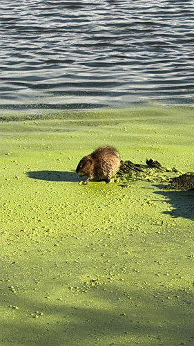
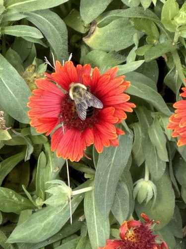
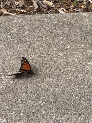

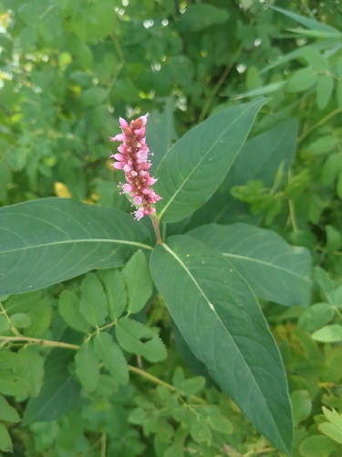
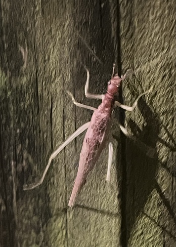
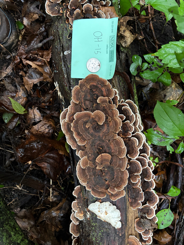
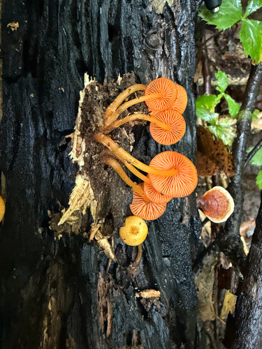
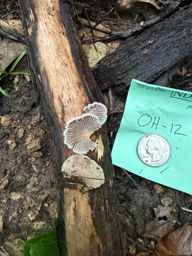
Research-grade observations from iNaturalist (within ~15 mi).
Nearest stream gauge
Events
Gallery
Sources
- • Wikipedia
- • US Census Bureau (ACS 5-year estimates)
- • NOAA National Weather Service
- • Wikidata
- • USGS Earthquake Catalog (global feed)
- • NCES via Urban Institute Education Data Portal
- • GBIF (Global Biodiversity Information Facility)
- • iNaturalist
- • CDC PLACES
- • Open-Meteo / sunrise-sunset.org
- • Wikipedia Pageviews API
- • Open Library