Browse / United States / Minnesota / International Falls
International Falls
Minnesotacity

International Falls
Total population
5,642
Demographic figures from US Census Bureau · ACS 5-year estimates. Overview below cites Wikipedia and may reference a different year.
City facts
Facts from Wikidata (CC0).
Overview
International Falls is a city in and the county seat of Koochiching County, Minnesota, United States. The population was 5,802 at the time of the 2020 census.
Read more on WikipediaHistory & geography
History
The area now known as International Falls was inhabited by many indigenous peoples. The International Falls area was well known to explorers, missionaries, and voyagers as early as the 17th century. It was not until April 1895 that the community was platted by L. A. Ogaard, a teacher and preacher for the Koochiching Company, and named Koochiching. The word "Koochiching" comes from either the Ojibwe word Gojijiing or the Cree Kocicīhk, both meaning "at the place of inlets", referring to the neighbouring Rainy Lake and River. The European inhabitants gave the names Rainy Lake and Rainy River to the nearby bodies of water because of the mist-like rain present at the falls where the lake flowed into the river. On August 10, 1901, the village was incorporated. Two years later, its name was changed to International Falls in recognition of the river's role as a border between the United States and Canada. It was incorporated as a city in 1909. Realizing the potential for water power and mills in the area, industrialist E.W. Backus, president of the Minnesota and Ontario Paper Company in the early 20th century, built a dam on the Rainy River to power the company's mills. Purchased by Boise Cascade Corporation in 1965, and sold to an investment group in 2003, the company remains the largest business and employer in the area. In 2013 Boise laid off 394 employees and closed down a paper machine. It then sold to Packaging Corporation of America (PCA).
Geography
According to the United States Census Bureau, the city has a total area of , of which is land and is water. International Falls, with its relatively central position in the North American continent, has a warm-summer humid continental climate (Köppen: Dfb), with long, bitterly cold winters and humid, warm summers and is part of USDA Plant hardiness zone 3a. January averages , and lows reach on an average of 57.2 nights annually. Highs only reach the freezing point or above an average of 16.7 days in the months of December, January, and February, and the temperature often stays below freezing for weeks at a time during the winter. In the winter of 1978 to 1979, the temperature stayed below freezing for 101 days, from November 17 to February 25. Spring, and more especially autumn, are short but mild transition seasons. July averages , with highs reaching an average of only 2 days annually, and in close to 40% of years, the temperature does not rise that high. Precipitation averages about per year, and is concentrated in the warmer months. The average window for freezing temperatures is September 14 through May 26, allowing a frost-free period of 110 days; however, the all-time record for the latest first freeze was set relatively recently on October 17, 2021, being over a month late. }} International Falls has long promoted itself as the "Icebox of the Nation"; however, the trademark for the slogan has been challenged on several occasions by the small town of Fraser, Colorado. Officials from Fraser claimed usage since 1956, International Falls since 1948. The two towns came to an agreement in 1986, when International Falls paid Fraser $2,000 to relinquish its "official" claim. However, in 1996, International Falls inadvertently failed to renew its federal…
Excerpted from the corresponding Wikipedia article (CC BY-SA).
Demographics & economy
Geography
Coordinates & boundaries from the US Census TIGER/Line shapefiles.
Climate
Current forecast
Forecast for International Falls, MN from NOAA NWS API.
Air quality
Industrial & pollution facilities
Natural hazard risk
Health (adults)
Walkability
Amenities nearby
Wildlife & biodiversity
Schools
Earthquake history
Photos
Sights & places nearby
Notable people from here


People born within ~10 km, from Wikidata (CC0). Click any name for their Wikipedia article.
Geography & sun
Elevation, sunrise/sunset and daylight from Open-Meteo. Solar climatology from NASA POWER.
Nearby airports
Public attention
Pageview totals from the Wikimedia Pageviews API.
Books about International Falls
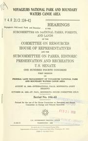

Search results from Open Library.
Recent natural events nearby
Ground air-quality sensors
Recently spotted species
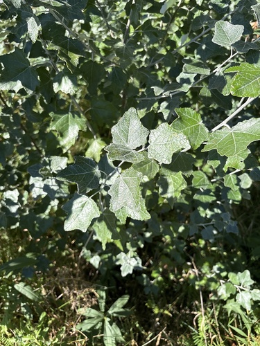
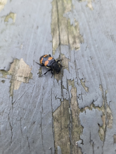
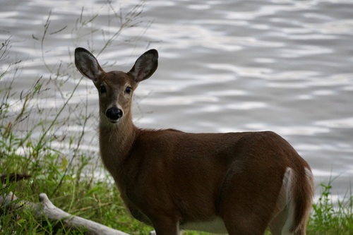
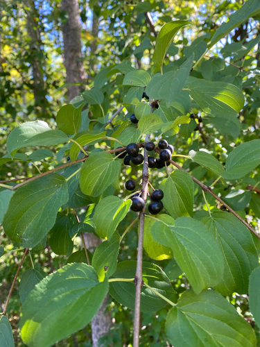
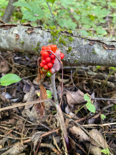
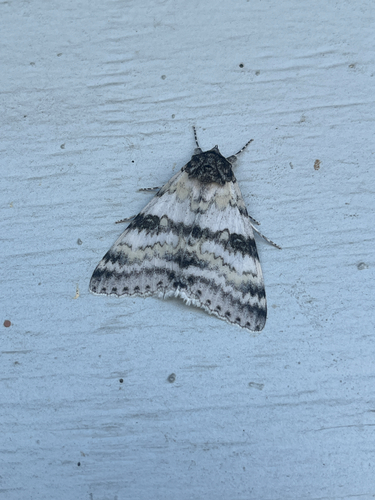
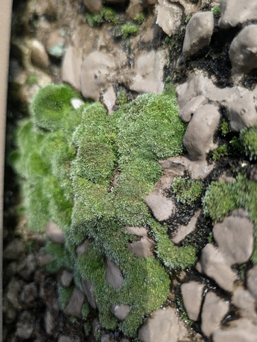
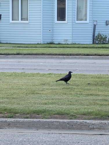

Research-grade observations from iNaturalist (within ~15 mi).
Nearest stream gauge
Live readings from USGS NWIS · measured 2026-09-25 21:00 UTC.
Events
Gallery
Sources
- • Wikipedia
- • NOAA National Weather Service
- • Wikidata
- • USGS NWIS (water data)
- • iNaturalist
- • Open-Meteo / sunrise-sunset.org
- • Wikipedia Pageviews API
- • Open Library