Browse / Mongolia / Darkhan-Uul / Khongor
Khongor
Darkhan-Uultown

Khongor
Demographic figures from National Statistics Office of Mongolia. Overview below cites Wikipedia and may reference a different year.
City facts
Facts from Wikidata (CC0).
Overview
Khongor is a sum (district) of Darkhan-Uul Province in northern Mongolia. The sum center has railway station on the Ulan-Ude - Ulaanbaatar - Beijing line. The most important railway station is 13 km south of the sum center, where at Salkhit settlement Salkhit - Erdenet line starts.
Read more on WikipediaHistory & geography
History
The soum was established in 1958 and was one of the four largest collective crop farms in Mongolian People's Republic. The soum has been the main provider of wheat with large fields of cultivated lands until the country's state-owned enetrprises were privatized in the 1990s. On 24 July 1999, Khongor recorded a temperature of , which is the highest temperature that has ever been recorded in Mongolia. In 2007, Khongor was the scene of an apparently massive contamination case that involved sodium cyanide and mercury compounds, materials used for small-scale gold mining. The case aroused considerable attention in the national media, and it was even discussed to relocate the settlement. The resident of Khongor, who died of cancer, and the number of premature and maternity mortal rate rose significantly. As a result of the contamination, more than half of the population left, leaving over 400 residents in the soum as of 2014. At the request of the Government of Mongolia, World Health Organisation conducted a field investigation in Khongor. The WHO team announced that Khongor was not as severely contaminated with mercury as Bornuur and Zaamar, for instance. Khongor soum's citizens' representative group and the Mongolian National Green Movement, accused the government of covering up a case of environmental pollution that had been endangering residents' lives. The Prime Minister Sanjiin Bayar did not acknowledge the disaster, however, long after his term ended, he later made apology for his mishandling and irresponsible behavior.
Excerpted from the corresponding Wikipedia article (CC BY-SA).
Geography
Coordinates & boundaries from the US Census TIGER/Line shapefiles.
Climate
Air quality
Walkability
Amenities nearby
Wildlife & biodiversity
Earthquake history
Photos
Sights & places nearby
Notable people from here
Nearby places in Darkhan-Uul
Geography & sun
Elevation, sunrise/sunset and daylight from Open-Meteo. Solar climatology from NASA POWER.
Nearby airports
Public attention
Pageview totals from the Wikimedia Pageviews API.
Books about this place
Recent natural events nearby
Ground air-quality sensors
Recently spotted species
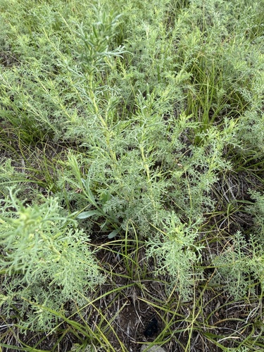
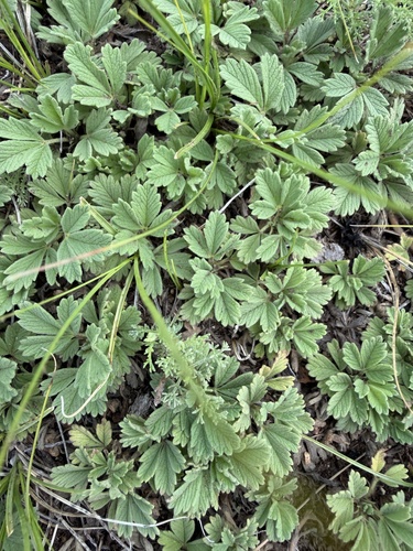
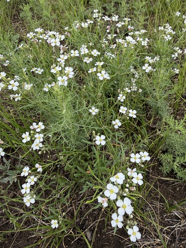
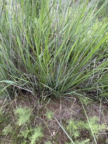
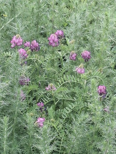
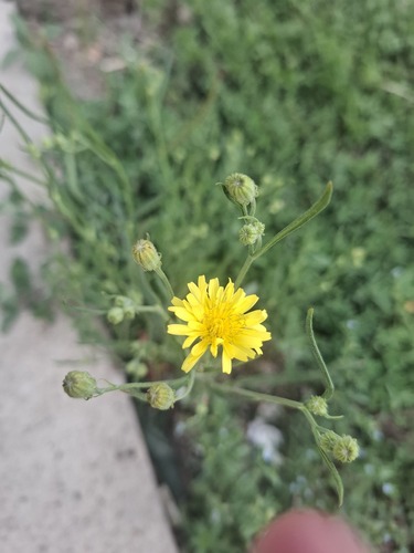
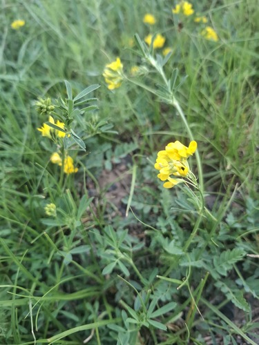
Research-grade observations from iNaturalist (within ~15 mi).
Events
Gallery
Sources
- • Wikipedia
- • Wikidata
- • iNaturalist
- • Open-Meteo / sunrise-sunset.org
- • Wikipedia Pageviews API