Browse / United States / Minnesota / Plymouth
Plymouth
Minnesotacity

Plymouth
Total population
79,220
Median home value
$491,200
Bachelor's+
Median income
$136,534
Founded
1852
Air quality index
Demographic figures from US Census Bureau · ACS 5-year estimates. Overview below cites Wikipedia and may reference a different year.
City facts
Facts from Wikidata (CC0).
Overview
Plymouth is a city in Hennepin County in the U.S. state of Minnesota. A suburb in the Minneapolis–Saint Paul metropolitan area, the city is about 10 miles (16 km) west of downtown Minneapolis. The population was 81,026 at the 2020 census, making it Minnesota's 7th-largest city.
Read more on WikipediaHistory & geography
History
Plymouth's history can be traced to the pre-Columbian period. The original inhabitants were the Dakota. Their encampment was at the north end of Medicine Lake. The name Medicine Lake is derived from the Dakota word Mdewakanton, meaning "Lake of the Spirit." The Dakota named the lake after a warrior who overturned his canoe and his body was never recovered. Antoine LeCounte, a guide and explorer, was the first settler in this area. He arrived in 1848, but did not settle until 1852. He carried mail from the Red River of the North to points south, trading goods to Native Americans for horses on the way. LeCounte built the first cabin at what is now East Medicine Lake Boulevard at 29th Avenue North. Plymouth's beginning as a town occurred in 1855 on the northwest shores of what is now known as Parkers Lake. A gristmill and other structures were built in the area. In the spring of 1857, when Parkers Lake flooded, the mill was taken down and moved to Wayzata. This was used once at the town meeting, but for reasons not recorded, it was never used again. During the Dakota War of 1862 between white settlers and the Dakota at Fort Ridgely, near New Ulm, the settlers of Plymouth formed a militia. When the Civil War started, Plymouth paid its volunteers $25 to enlist. About this time, schools and churches were built and a post office was in Plymouth. By 1863, hotels were being built, with Medicine Lake becoming a local tourist destination. By 1880, Plymouth had a population of 1,074. Farming was the city's dominant profession and remained so until the mid-1900s. Roads were built across Plymouth, providing access to other towns. As the community's character evolved from rural to suburban, so did local government. Plymouth incorporated as a village on May 18, 1955. The city…
Geography
According to the United States Census Bureau, the city has an area of , of which is land and is water. Interstate 494, U.S. Highway 169, and Minnesota State Highway 55 are three of the main routes in the city. Plymouth has 863 cul-de-sacs and 300 miles of city streets, which are maintained by the city's public works crews. Plymouth has a humid continental climate, typical of the Midwestern United States, with very cold winters, and relatively hot, often humid summer days. Summer daytime temperatures average 83 °F (28 °C), with a low of around 60 °F (15 °C), while winter temperatures average only 23 °F (-5 °C) and a low of 3 °F (-16 °C). The highest recorded temperature in Plymouth was 102 °F (39 °C) in 2012, and the lowest was -39 °F (-39.4 °C) in 1977. Rain falls throughout the year, with the highest concentration falling in the summer months, with June being the rainiest with 120.3 mm of rain.
Excerpted from the corresponding Wikipedia article (CC BY-SA).
Demographics & economy
Race & ethnicity
Source: US Census Bureau — American Community Survey, 5-year estimates.
Geography
Coordinates & boundaries from the US Census TIGER/Line shapefiles.
Climate
Current forecast
Forecast for Plymouth, MN from NOAA NWS API.
Air quality
Current readings from Open-Meteo Air Quality API (Copernicus CAMS European reanalysis).
Industrial & pollution facilities
Natural hazard risk
Health (adults)
Age-adjusted prevalence estimates from CDC PLACES (latest release).
Walkability
Amenities nearby
Wildlife & biodiversity
Most-observed species
- Northern CardinalCardinalis cardinalis (Linnaeus, 1758) · Aves70,881
- Black-capped ChickadeePoecile atricapillus (Linnaeus, 1766) · Aves70,371
- American RobinTurdus migratorius Linnaeus, 1766 · Aves59,454
- Downy WoodpeckerDryobates pubescens (Linnaeus, 1766) · Aves55,350
- Blue JayCyanocitta cristata (Linnaeus, 1758) · Aves54,318
- MallardAnas platyrhynchos Linnaeus, 1758 · Aves52,801
- American GoldfinchSpinus tristis (Linnaeus, 1758) · Aves50,770
- American CrowCorvus brachyrhynchos C.L.Brehm, 1822 · Aves48,237
Citizen-science & research observations from the Global Biodiversity Information Facility (GBIF).
Schools
Largest nearby schools
- WAYZATA HIGHHigh · PLYMOUTH · 3,523 students · 22.9:1 ratio
- MINNETONKA SENIOR HIGHHigh · MINNETONKA · 3,508 students · 18.7:1 ratio
- MAPLE GROVE SENIOR HIGHHigh · MAPLE GROVE · 2,324 students · 23.5:1 ratio
- OSSEO SENIOR HIGHHigh · OSSEO · 2,280 students · 21.9:1 ratio
- PARK CENTER IB WORLD SCHOOLHigh · BROOKLYN PARK · 1,908 students · 17.2:1 ratio
- ROBBINSDALE ARMSTRONG SENIOR HIGHHigh · PLYMOUTH · 1,832 students · 30.5:1 ratio
- ROBBINSDALE COOPER SENIOR HIGHHigh · NEW HOPE · 1,630 students · 28.1:1 ratio
- Maple Grove Middle SchoolMiddle · MAPLE GROVE · 1,598 students · 21.6:1 ratio
Public K–12 schools within ~10 mi from Urban Institute Education Data Portal (NCES Common Core of Data, 2022).
Earthquake history
Events from the USGS Earthquake Catalog (global) (FDSN Event Web Service).
Photos
Sights & places nearby
Notable people from here


People born within ~10 km, from Wikidata (CC0). Click any name for their Wikipedia article.
Geography & sun
Nearby airports
Public attention
Books about this place
Recent natural events nearby
Ground air-quality sensors
Recently spotted species
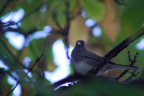
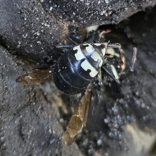
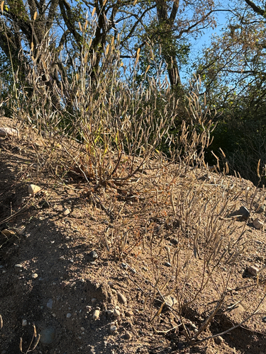
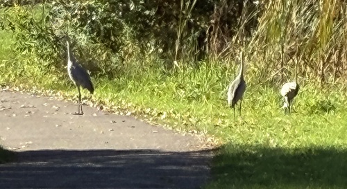
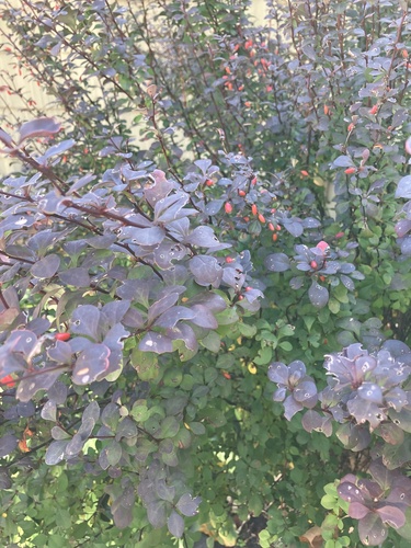
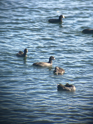
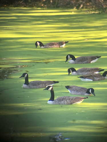
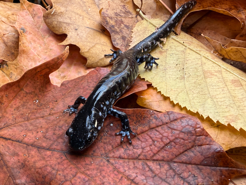
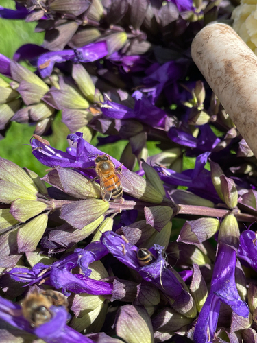
Research-grade observations from iNaturalist (within ~15 mi).
Nearest stream gauge
Live readings from USGS NWIS · measured 2026-10-16 21:00 UTC.
Events
Gallery
Sources
- • Wikipedia
- • US Census Bureau (ACS 5-year estimates)
- • NOAA National Weather Service
- • Wikidata
- • Open-Meteo Air Quality (CAMS)
- • USGS Earthquake Catalog (global feed)
- • USGS NWIS (water data)
- • NCES via Urban Institute Education Data Portal
- • GBIF (Global Biodiversity Information Facility)
- • iNaturalist
- • CDC PLACES