Browse / United States / Minnesota / Rochester
Rochester
Minnesotacity

Rochester
Total population
123,616
Median home value
$326,100
Bachelor's+
Median income
$90,020
Founded
1854
Air quality index
Demographic figures from US Census Bureau · ACS 5-year estimates. Overview below cites Wikipedia and may reference a different year.
City facts
Facts from Wikidata (CC0).
Overview
Rochester is a city in and the county seat of Olmsted County, Minnesota, United States. It is located along rolling bluffs on the Zumbro River's south fork in Southeast Minnesota. The population was 121,395 at the 2020 census, and was estimated at 124,292 in 2025, making it the third-most populous city in Minnesota. The Rochester metropolitan area has an estimated 230,000 residents. The city is the home and birthplace of Mayo Clinic.
Read more on WikipediaHistory & geography
History
Several indigenous peoples such as Dakota, Ojibway, and Ho-Chunk inhabited the Rochester area. The community was founded by George Head and his wife Henrietta, who built a log cabin named Head's Tavern in 1854. It was named for Head's hometown of Rochester, New York. The city developed as a stagecoach stop along the Zumbro River on a route between Dubuque, Iowa, and Saint Paul, Minnesota. When the Winona and St. Peter Railroad initiated service in October 1864, it brought new residents and business opportunities and spurred growth. In 1863, William W. Mayo arrived as the examining surgeon for Union draftees in the Civil War. The 1883 Rochester Tornado demolished much of Rochester, leaving 37 dead and approximately 200 injured. As there was no medical facility in the immediate area at the time, Mayo and his two sons worked together to care for the wounded. Donations of US$60,000 (US$1,932,562 in 2022) were collected and the Sisters of St. Francis, assisted by Mayo, opened a new facility named St. Marys Hospital in 1889.
Geography
Rochester lies alongside the South Fork of the Zumbro River which is long and is ringed by gentle hills and largely surrounded by farmland within a deciduous forest biome. The Zumbro Watershed flows through of agricultural and urban lands. Located in southeast Minnesota, the City of Rochester lies at the western edge of the Driftless Area, a region that was never glaciated and contains deeply-carved river valleys. The rugged terrain is due both to the lack of glacial deposits, or drift, and to the incision of the upper Mississippi River and its tributaries into bedrock. According to the United States Census Bureau, the city has a total area of , of which is land and (0.6%) is water. Rochester is in Olmsted County, one of only four counties in Minnesota without a natural lake. Artificial lakes exist in the area, including Silver Lake, a dammed portion of the South Fork Zumbro River just below the convergence with Silver Creek near the city center. Silver Lake was once used as a cooling pond when the coal-burning power plant was operated by Rochester Public Utilities at the lake. When operational, the RPU coal plant's heated water output prevented the lake from generally freezing over during the winter months, attracting large numbers of migrating giant Canada geese. Large murders of crows are known to flock to Rochester during winter, including the Rochester cemetery downtown. Rochester has an extensive parks system, the largest of which are Silver Lake and Soldiers Field in the central part of the city. A major flood in 1978 led the city to embark on an expensive and successful flood-control project that involved altering many nearby rivers and streams. The Zumbro River flowing through the center of the city is presently being readdressed for increased…
Excerpted from the corresponding Wikipedia article (CC BY-SA).
Demographics & economy
Race & ethnicity
Source: US Census Bureau — American Community Survey, 5-year estimates.
Geography
Coordinates & boundaries from the US Census TIGER/Line shapefiles.
Climate
10-year averages from ERA5 reanalysis (Open-Meteo).
Current forecast
Forecast for Rochester, MN from NOAA NWS API.
Air quality
Current readings from Open-Meteo Air Quality API (Copernicus CAMS European reanalysis).
Industrial & pollution facilities
Natural hazard risk
Health (adults)
Age-adjusted prevalence estimates from CDC PLACES (latest release).
Walkability
Amenities nearby
Wildlife & biodiversity
Most-observed species
- American CrowCorvus brachyrhynchos C.L.Brehm, 1822 · Aves9,278
- Black-capped ChickadeePoecile atricapillus (Linnaeus, 1766) · Aves9,144
- American RobinTurdus migratorius Linnaeus, 1766 · Aves8,554
- Northern CardinalCardinalis cardinalis (Linnaeus, 1758) · Aves8,394
- Canada Goose (canadensis Group)Branta canadensis (Linnaeus, 1758) · Aves7,556
- MallardAnas platyrhynchos Linnaeus, 1758 · Aves7,448
- Blue JayCyanocitta cristata (Linnaeus, 1758) · Aves7,439
- American GoldfinchSpinus tristis (Linnaeus, 1758) · Aves7,428
Citizen-science & research observations from the Global Biodiversity Information Facility (GBIF).
Schools
Largest nearby schools
- Mayo Senior HighHigh · ROCHESTER · 1,862 students · 45.4:1 ratio
- CENTURY SENIOR HIGHHigh · ROCHESTER · 1,698 students · 44.7:1 ratio
- JOHN MARSHALL SENIOR HIGHHigh · ROCHESTER · 1,573 students · 43.7:1 ratio
- WILLOW CREEK MIDDLEMiddle · ROCHESTER · 890 students · 44.5:1 ratio
- KELLOGG MIDDLEMiddle · ROCHESTER · 856 students · 40.8:1 ratio
- JOHN ADAMS MIDDLEMiddle · ROCHESTER · 731 students · 38.5:1 ratio
- Gibbs ElementaryElementary · ROCHESTER · 730 students · 19.7:1 ratio
- BYRON SENIOR HIGH SCHOOLHigh · BYRON · 664 students · 23.7:1 ratio
Public K–12 schools within ~10 mi from Urban Institute Education Data Portal (NCES Common Core of Data, 2022).
Earthquake history
Events from the USGS Earthquake Catalog (global) (FDSN Event Web Service).
Photos
Sights & places nearby
Notable people from here


People born within ~10 km, from Wikidata (CC0). Click any name for their Wikipedia article.
Nearby places in Minnesota
- Oronoco10.4 mi away
- Stewartville10.6 mi away
- Racine16.5 mi away
- Zumbro Falls19.1 mi away
- Hayfield20.2 mi away · pop. 1,395
- St. Charles21.1 mi away
- Zumbrota21.7 mi away
- Spring Valley22.9 mi away · pop. 2,307
- Wykoff23.6 mi away · pop. 377
- Wanamingo25.1 mi away
- Utica26.4 mi away · pop. 216
- Goodhue27.6 mi away · pop. 1,074
Geography & sun
Elevation, sunrise/sunset and daylight from Open-Meteo. Solar climatology from NASA POWER.
Nearby airports
Public attention
Pageview totals from the Wikimedia Pageviews API.
Books about Rochester


Search results from Open Library.
Recent natural events nearby
Ground air-quality sensors
Recently spotted species
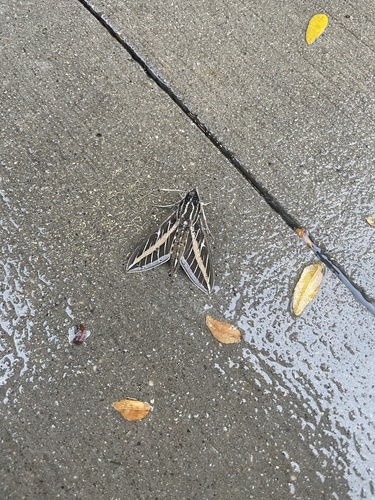
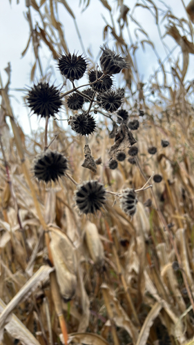
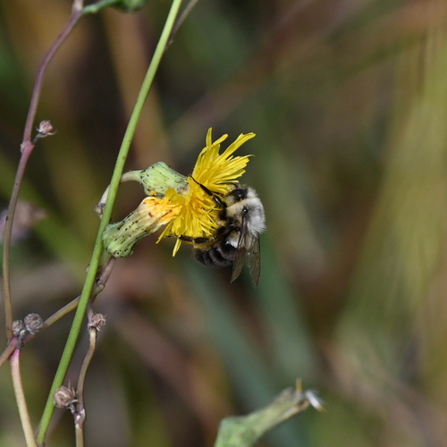
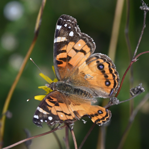
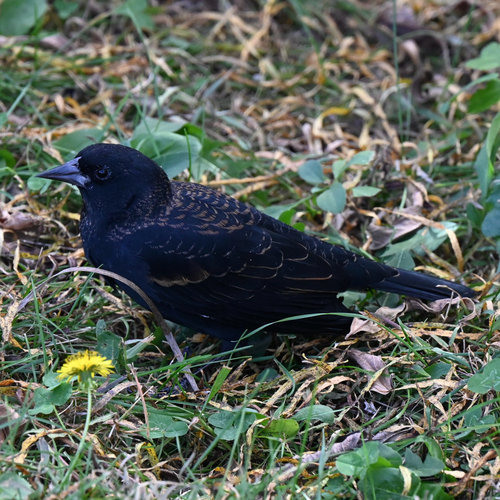
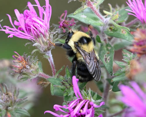
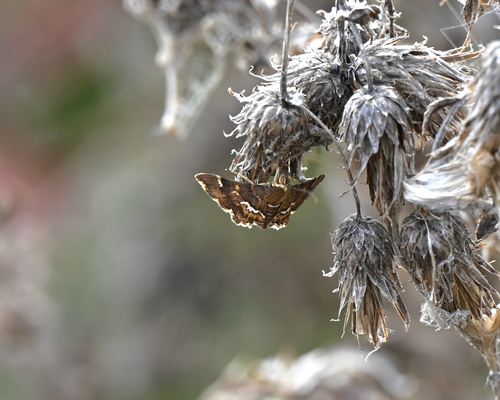
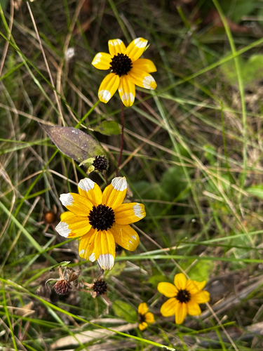
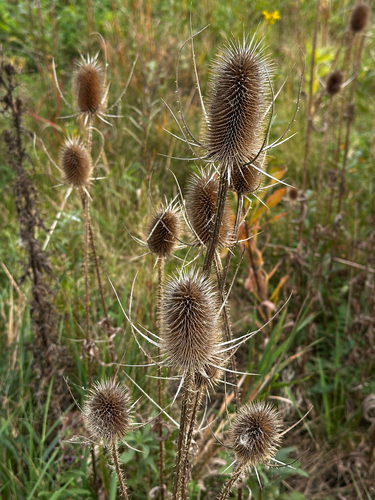
Research-grade observations from iNaturalist (within ~15 mi).
Nearest stream gauge
Events
Gallery
Geotagged photos within ~6 miles of Rochester, from Wikimedia Commons contributors.
.jpg) 0 mi
0 mi.jpg) 0 mi
0 mi.jpg) 0 mi
0 mi.jpg) 0.1 mi
0.1 mi.jpg) 0.1 mi
0.1 mi.jpg) 0.1 mi
0.1 mi.jpg) 0.1 mi
0.1 mi.jpg) 0.1 mi
0.1 mi.jpg) 0.1 mi
0.1 mi.jpg) 0.1 mi
0.1 mi.jpg) 0.1 mi
0.1 mi.jpg) 0.1 mi
0.1 mi.jpg) 0.1 mi
0.1 mi.jpg) 0.1 mi
0.1 mi.jpg) 0.1 mi
0.1 mi.jpg) 0.1 mi
0.1 mi.jpg) 0.1 mi
0.1 mi.jpg) 0.1 mi
0.1 mi.jpg) 0.1 mi
0.1 mi.jpg) 0.1 mi
0.1 mi.jpg) 0.1 mi
0.1 mi.jpg) 0.1 mi
0.1 mi.jpg) 0.1 mi
0.1 mi.jpg) 0.1 mi
0.1 miPhotos via Wikimedia Commons — see each image page for license & attribution.
Sources
- • Wikipedia
- • US Census Bureau (ACS 5-year estimates)
- • Open-Meteo (ERA5 reanalysis)
- • NOAA National Weather Service
- • Wikimedia Commons
- • Wikidata
- • Open-Meteo Air Quality (CAMS)
- • USGS Earthquake Catalog (global feed)
- • NCES via Urban Institute Education Data Portal
- • GBIF (Global Biodiversity Information Facility)
- • iNaturalist
- • CDC PLACES
- • Open-Meteo / sunrise-sunset.org
- • Wikipedia Pageviews API
- • Open Library