Browse / United States / Minnesota / St. Cloud
St. Cloud
Minnesotacity

St. Cloud
Total population
69,609
Median home value
$245,200
Bachelor's+
Median income
$66,580
Founded
1856
Demographic figures from US Census Bureau · ACS 5-year estimates. Overview below cites Wikipedia and may reference a different year.
City facts
Sister cities
Facts from Wikidata (CC0).
Overview
St. Cloud or Saint Cloud is a city in Stearns County, Minnesota, United States. The population was 68,881 at the 2020 census, making it Minnesota's 12th-most populous city. St. Cloud is the county seat of Stearns County, though it also extends into Benton and Sherburne counties. The city lies along the Mississippi River and is named after Saint-Cloud, a suburb of Paris named for the 6th-century monk Clodoald.
Read more on WikipediaHistory & geography
History
What is now the St. Cloud area was occupied by various Indigenous peoples for thousands of years. Voyageurs and coureurs des bois from New France first encountered the Ojibwe and Dakota through the highly profitable North American fur trade with local Native American peoples. The Minnesota Territory was organized in 1849. The St. Cloud area opened up to homesteading after the Treaty of Traverse des Sioux was signed with the Dakota people in 1851. John L. Wilson, a Yankee homesteader from Columbia, Maine, with French Huguenot ancestry and an interest in Napoleon, named the settlement St. Cloud after Saint-Cloud, the Paris suburb where Napoleon had his favorite palace. St. Cloud was a waystation on the Middle and Woods branches of the Red River Trails used by Métis traders between the Canada–U.S. border at Pembina, North Dakota, and Saint Paul, Minnesota. The cart trains often consisted of hundreds of oxcarts known as Red River carts. The Métis, bringing furs to trade for supplies to take back to their rural settlements, camped west of the city and crossed the Mississippi in St. Cloud or just to the north in Sauk Rapids. The City of St. Cloud was incorporated in 1856. It developed from three distinct settlements, known as Upper Town, Middle Town, and Lower Town, that European-American settlers established starting in 1853. Remnants of the deep ravines that separated the three are still visible today. Middle Town was settled primarily by German Catholic immigrants and migrants from eastern states, who were recruited to the region by Father Francis Xavier Pierz, a Catholic priest who also ministered as a missionary to Native Americans. Lower Town was founded by settlers from the Northern Tier of New England and the mid-Atlantic states, including former residents of…
Geography
According to the United States Census Bureau, the city has an area of ; is land and is water. The city developed on both sides of the Mississippi River. Part of the Sauk River runs along its northern edge. Just south of downtown is the 7-acre, 35-feet-deep Lake George. In 2021, the Minnesota Pollution Control Agency (MPCA) credited decade-long city investments in stormwater filtration with reducing Lake George's phosphorus levels well below the state standard. It called Lake George one of three "success stories" in the state, and planned to remove it from a list of impaired waters. Granite bedrock quarried in the area has been estimated to be 1.7 billion years old and was exposed after several miles of rock above it eroded. The city lies on a band of modern Mississippi river sediment surrounded by land scoured several times by Wisconsin Age glaciers beginning about 35,000 years ago, ending with the Lake Superior St. Croix lobe. The later Des Moines lobe created glacial moraines and drift south and east of the city. St. Cloud lies in the warm summer humid continental climate zone (Köppen climate classification: Dfb), with warm summers and cold winters with moderate to heavy snowfall. The monthly normal daily mean temperature ranges from in January to in July. The record high temperature is . The record low temperature is . extremes 1894–present) |single line = Y |collapsed = Y |Jan record high F = 56 |Feb record high F = 59 |Mar record high F = 81 |Apr record high F = 96 |May record high F = 105 |Jun record high F = 102 |Jul record high F = 107 |Aug record high F = 105 |Sep record high F = 106 |Oct record high F = 90 |Nov record high F = 76 |Dec record high F = 63 |year record high F = 107 |Jan avg record high F = 41.9 |Feb avg record high F = 45.1 |Mar avg…
Excerpted from the corresponding Wikipedia article (CC BY-SA).
Demographics & economy
Race & ethnicity
Source: US Census Bureau — American Community Survey, 5-year estimates.
Geography
Coordinates & boundaries from the US Census TIGER/Line shapefiles.
Climate
Current forecast
Forecast for St. Cloud, MN from NOAA NWS API.
Air quality
Industrial & pollution facilities
Natural hazard risk
Health (adults)
Age-adjusted prevalence estimates from CDC PLACES (latest release).
Walkability
Amenities nearby
Wildlife & biodiversity
Most-observed species
- American CrowCorvus brachyrhynchos C.L.Brehm, 1822 · Aves5,943
- Black-capped ChickadeePoecile atricapillus (Linnaeus, 1766) · Aves5,933
- Blue JayCyanocitta cristata (Linnaeus, 1758) · Aves5,578
- American RobinTurdus migratorius Linnaeus, 1766 · Aves4,546
- White-breasted NuthatchSitta carolinensis Latham, 1790 · Aves4,173
- Northern CardinalCardinalis cardinalis (Linnaeus, 1758) · Aves3,889
- American GoldfinchSpinus tristis (Linnaeus, 1758) · Aves3,688
- MallardAnas platyrhynchos Linnaeus, 1758 · Aves3,619
Citizen-science & research observations from the Global Biodiversity Information Facility (GBIF).
Schools
Largest nearby schools
- TECHNICAL SENIOR HIGHHigh · SAINT CLOUD · 1,515 students · 18.5:1 ratio
- SARTELL SENIOR HIGHHigh · SARTELL · 1,349 students · 20.4:1 ratio
- APOLLO SENIOR HIGHHigh · SAINT CLOUD · 1,225 students · 15.7:1 ratio
- SARTELL MIDDLEMiddle · SARTELL · 978 students · 15.8:1 ratio
- Riverview Intermediate SchoolElementary · SARTELL · 938 students · 16.2:1 ratio
- SOUTH JUNIOR HIGHMiddle · SAINT CLOUD · 867 students · 22.2:1 ratio
- OAK HILL COMMUNITY ELEMENTARYElementary · SAINT CLOUD · 814 students
- NORTH JUNIOR HIGHMiddle · SAINT CLOUD · 708 students · 15.4:1 ratio
Public K–12 schools within ~10 mi from Urban Institute Education Data Portal (NCES Common Core of Data, 2022).
Earthquake history
Events from the USGS Earthquake Catalog (global) (FDSN Event Web Service).
Photos
Sights & places nearby
Notable people from here


People born within ~10 km, from Wikidata (CC0). Click any name for their Wikipedia article.
Nearby places in Minnesota
Geography & sun
Elevation, sunrise/sunset and daylight from Open-Meteo. Solar climatology from NASA POWER.
Nearby airports
Public attention
Pageview totals from the Wikimedia Pageviews API.
Books about St. Cloud


Search results from Open Library.
Recent natural events nearby
Ground air-quality sensors
Recently spotted species
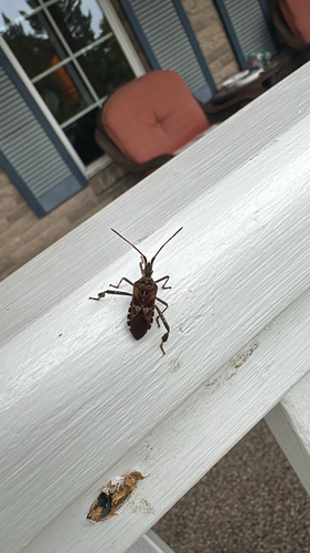

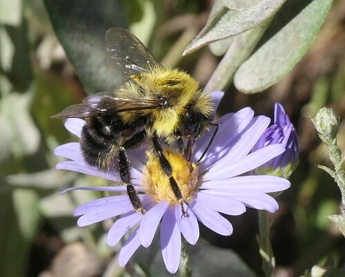
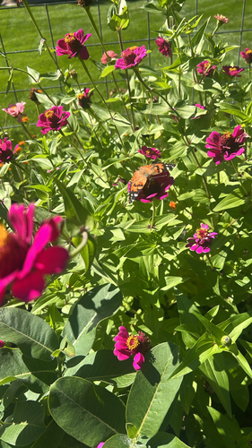
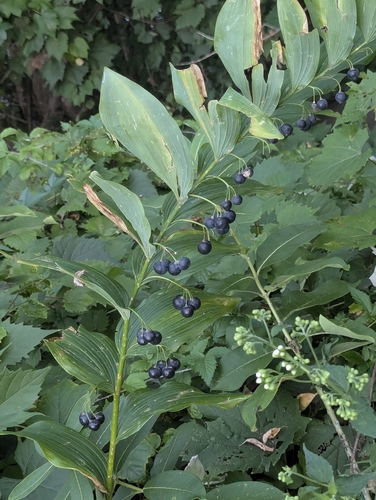
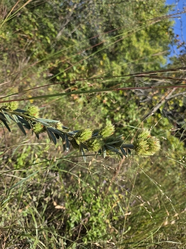
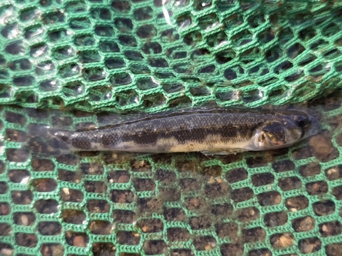
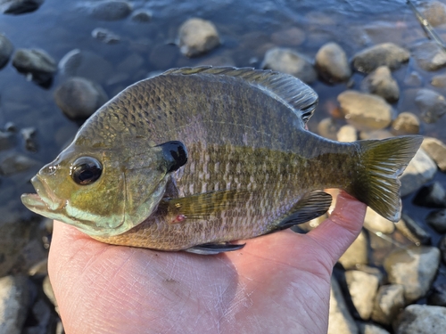
Research-grade observations from iNaturalist (within ~15 mi).
Nearest stream gauge
Events
Gallery
Sources
- • Wikipedia
- • US Census Bureau (ACS 5-year estimates)
- • NOAA National Weather Service
- • Wikidata
- • USGS Earthquake Catalog (global feed)
- • NCES via Urban Institute Education Data Portal
- • GBIF (Global Biodiversity Information Facility)
- • iNaturalist
- • CDC PLACES
- • Open-Meteo / sunrise-sunset.org
- • Wikipedia Pageviews API
- • Open Library