Browse / United States / Minnesota / St. Vincent
St. Vincent
Minnesotacity

St. Vincent
Total population
45
Median home value
$105,000
Bachelor's+
Median income
$58,750
Demographic figures from US Census Bureau · ACS 5-year estimates. Overview below cites Wikipedia and may reference a different year.
City facts
Facts from Wikidata (CC0).
Overview
St. Vincent is a city in Kittson County, Minnesota, United States. The population was 57 at the 2020 census.
Read more on WikipediaHistory & geography
History
St. Vincent, which is directly across the Red River from Pembina, was initially incorporated in 1857, just prior to statehood. Many of the earliest settlers to what would become Pembina and St. Vincent were Métis, going back to the late 18th century. In 1878, the St. Paul & Pacific Railroad line reached St. Vincent and opened the area to settlement. With the railroad coming through, other settlers began arriving to stake their claims.
Geography
According to the United States Census Bureau, the city has a total area of , of which is land and is water. The community is the westernmost community in Minnesota. It is situated on the banks of the Red River of the North, in the Red River Valley. It grew from one of the oldest settlements in the region, when it was part of an early [https://books.google.com/books?id=_g4wAAAAYAAJ&dq=There+had+been+a+North+West+Company+post+established+in+1794+by+Peter+Grant+on+the+ground+where+St.+Vincent%2C+Minnesota%2C+now+stands&pg=PA30 fur-trading post] established by [http://www.biographi.ca/en/bio/grant_peter_7E.html Peter Grant] in [https://books.google.com/books?id=EaqU5RY-W8gC&q=peter+grant&pg=PA195 1793]. The city of Pembina, North Dakota borders it on the west, across the Red River of the North. Minnesota Highway 171, U.S. Highway 75, 8th Street, and Pacific Avenue are four of the main routes in and around the community. North Dakota Highway 59 and Interstate 29 are also nearby.
Excerpted from the corresponding Wikipedia article (CC BY-SA).
Demographics & economy
Race & ethnicity
Source: US Census Bureau — American Community Survey, 5-year estimates.
Geography
Coordinates & boundaries from the US Census TIGER/Line shapefiles.
Climate
Current forecast
Forecast for St. Vincent, MN from NOAA NWS API.
Air quality
Industrial & pollution facilities
Natural hazard risk
Health (adults)
Age-adjusted prevalence estimates from CDC PLACES (latest release).
Walkability
Amenities nearby
Wildlife & biodiversity
Schools
Earthquake history
Photos
Sights & places nearby
Notable people from here


People born within ~10 km, from Wikidata (CC0). Click any name for their Wikipedia article.
Nearby places in Minnesota
Geography & sun
Elevation, sunrise/sunset and daylight from Open-Meteo. Solar climatology from NASA POWER.
Nearby airports
Public attention
Pageview totals from the Wikimedia Pageviews API.
Books about St. Vincent

Search results from Open Library.
Recent natural events nearby
Ground air-quality sensors
Recently spotted species
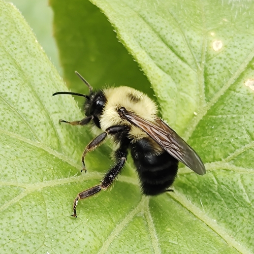
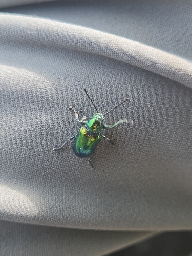

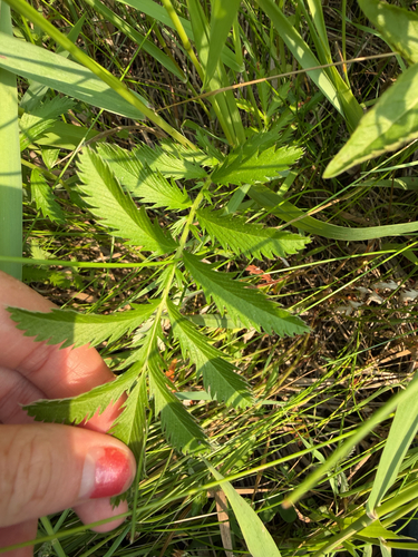
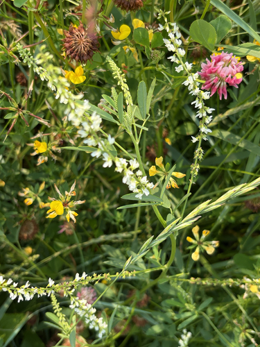
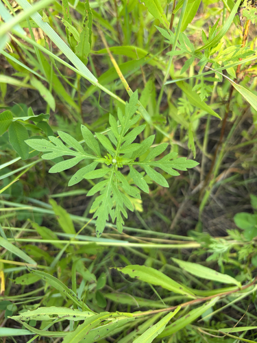
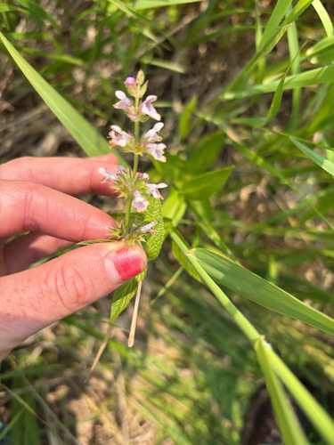
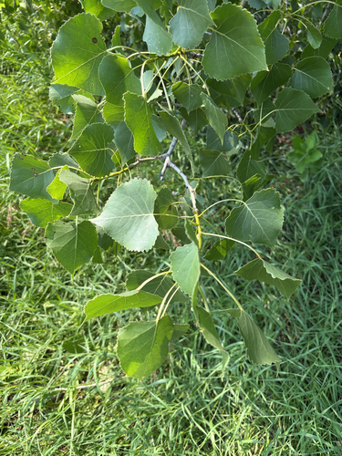
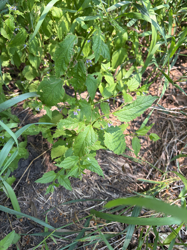
Research-grade observations from iNaturalist (within ~15 mi).
Nearest stream gauge
Live readings from USGS NWIS · measured 2026-10-13 20:30 UTC.
Events
Gallery
Sources
- • Wikipedia
- • US Census Bureau (ACS 5-year estimates)
- • NOAA National Weather Service
- • Wikidata
- • USGS NWIS (water data)
- • iNaturalist
- • CDC PLACES
- • Open-Meteo / sunrise-sunset.org
- • Wikipedia Pageviews API
- • Open Library