Browse / United States / Missouri / Bellefontaine Neighbors
Bellefontaine Neighbors
Missouricity

Bellefontaine Neighbors
Total population
10,498
Median home value
$99,700
Bachelor's+
Median income
$49,170
Founded
1950
Demographic figures from US Census Bureau · ACS 5-year estimates. Overview below cites Wikipedia and may reference a different year.
City facts
Facts from Wikidata (CC0).
Overview
Bellefontaine Neighbors is an inner-ring suburban city in St. Louis County, Missouri, United States. The population was 10,740 at the 2020 census.
Read more on WikipediaHistory & geography
History
The history of Bellefontaine Neighbors, Missouri, can be traced back to the mid-1800s when the area was part of the Louisiana Territory, which was ceded by France to Spain in 1762 in the Treaty of Fontainebleau. Spanish military authorities constructed forts near the mouth of the Missouri River to strengthen their hold on the territory and discourage intruders from the east. A Captain Rios, who was dispatched to the area, established forts near the present-day locations of Spanish Pond (or Spanish Lake) and Fort San Carlos in St. Louis. In 1800, Spain ceded the territory west of the Mississippi River back to France, which then sold it to the United States in 1803 as part of the Louisiana Purchase. In 1804, a treaty was made with the Sac and Fox Indians that led to the establishment of a trading post on the south bank of the Missouri River. The area was chosen for its natural advantages, including a large clear water spring called "la belle fontaine" by the early French settlers. By the winter of 1805, Fort Bellefontaine was constructed under the command of Colonel Jacob Kingsbury, with log cabins, a trading house, a bakery, a blacksmith shop, and huts for enlisted soldiers. General Daniel Bissell served as the military commander of the territory and resided at Fort Bellefontaine for several years. The fort was connected to St. Louis by a trail that eventually evolved into present-day Bellefontaine Road. Fort Bellefontaine was abandoned in 1834, and the surrounding land was divided into land grants. The area that is now Bellefontaine Neighbors was made up of land grants issued by Spanish, French, and American officials. Notable landowners in the area included General Daniel Bissell, who purchased land through public land sales, and Dr. James W. Gibson, who built his…
Geography
Bellefontaine Neighbors is a second-ring northern suburb of St. Louis. According to the United States Census Bureau, the city has a total area of , all land. : Spanish Lake : Unincorporated Ferguson township Spanish Lake : Castle Point / Moline Acres / Jennings Glasgow Village / Riverview : Jennings St. Louis : St. Louis
Excerpted from the corresponding Wikipedia article (CC BY-SA).
Demographics & economy
Race & ethnicity
Source: US Census Bureau — American Community Survey, 5-year estimates.
Geography
Coordinates & boundaries from the US Census TIGER/Line shapefiles.
Climate
Current forecast
Forecast for Bellefontaine Neighbors, MO from NOAA NWS API.
Air quality
Industrial & pollution facilities
Natural hazard risk
Health (adults)
Age-adjusted prevalence estimates from CDC PLACES (latest release).
Walkability
Amenities nearby
Wildlife & biodiversity
Schools
Earthquake history
Photos
Sights & places nearby
Notable people from here


People born within ~10 km, from Wikidata (CC0). Click any name for their Wikipedia article.
Nearby places in Missouri
- Moline Acres1 mi away
- Spanish Lake2.7 mi away
- Black Jack3.7 mi away
- Ferguson3.7 mi away · pop. 18,213
- Norwood Court4.3 mi away
- Pasadena Hills4.6 mi away
- Pasadena Park4.7 mi away
- Pine Lawn4.7 mi away
- Normandy5 mi away
- Beverly Hills5.1 mi away · pop. 488
- Bellerive Acres5.3 mi away · pop. 288
- Kinloch5.3 mi away · pop. 322
Geography & sun
Nearby airports
Public attention
Books about this place
Recent natural events nearby
Ground air-quality sensors
Recently spotted species
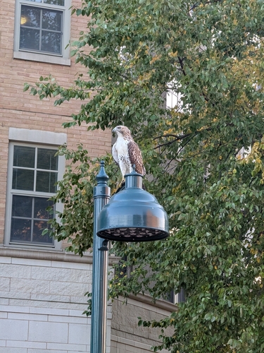
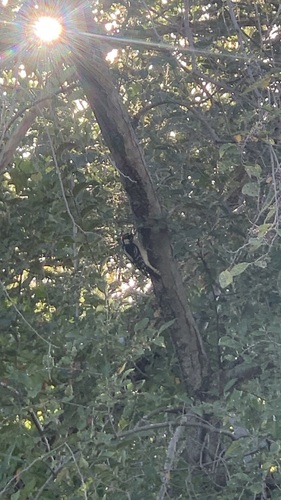
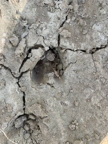
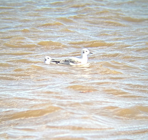
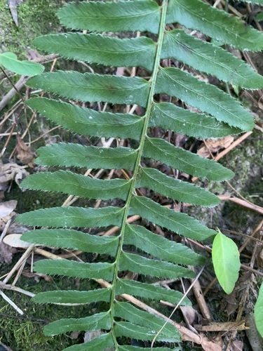
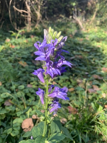
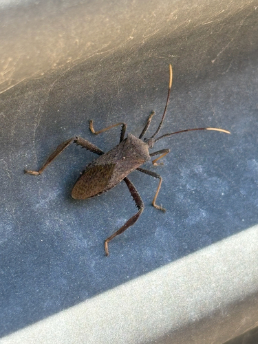
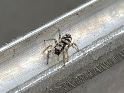
Research-grade observations from iNaturalist (within ~15 mi).
Nearest stream gauge
Events
Gallery
Sources
- • Wikipedia
- • US Census Bureau (ACS 5-year estimates)
- • NOAA National Weather Service
- • Wikidata
- • iNaturalist
- • CDC PLACES